31973 E Ocean Ln Arch Cape, OR 97102
Estimated Value: $776,784 - $1,011,000
1
Bed
1
Bath
960
Sq Ft
$934/Sq Ft
Est. Value
About This Home
This home is located at 31973 E Ocean Ln, Arch Cape, OR 97102 and is currently estimated at $896,696, approximately $934 per square foot. 31973 E Ocean Ln is a home located in Clatsop County with nearby schools including Seaside High School, The Cannon Beach Academy, and Fire Mountain School.
Ownership History
Date
Name
Owned For
Owner Type
Purchase Details
Closed on
Jun 2, 2017
Sold by
Tenneson William R and Tenneson Joni Jean
Bought by
Tenneson William R and Tenneson Joni Jean
Current Estimated Value
Purchase Details
Closed on
Nov 18, 2015
Sold by
Tenneson William R
Bought by
Tenneson William Jean and Tenneson Joni Jean
Purchase Details
Closed on
Aug 24, 2010
Sold by
Ware Ann E
Bought by
Tenneson Scott and Tenneson William R
Purchase Details
Closed on
Jan 5, 2010
Sold by
Crouse Jamie L
Bought by
Tenneson Scott and Tenneson William R
Purchase Details
Closed on
Apr 14, 2009
Sold by
Tenneson Scott V and Tenneson William R
Bought by
Tenneson Scott and Tenneson William R
Purchase Details
Closed on
Aug 16, 2006
Sold by
Tenneson Dorothy E
Bought by
Tenneson Dorothy E and Vernon B Tenneson Disclaimer Trust
Create a Home Valuation Report for This Property
The Home Valuation Report is an in-depth analysis detailing your home's value as well as a comparison with similar homes in the area
Purchase History
| Date | Buyer | Sale Price | Title Company |
|---|---|---|---|
| Tenneson William R | -- | None Available | |
| Tenneson William Jean | -- | None Available | |
| Tenneson Scott | $94,000 | None Available | |
| Tenneson Scott | $37,500 | None Available | |
| Tenneson Scott | -- | None Available | |
| Tenneson Dorothy E | -- | None Available |
Source: Public Records
Tax History
| Year | Tax Paid | Tax Assessment Tax Assessment Total Assessment is a certain percentage of the fair market value that is determined by local assessors to be the total taxable value of land and additions on the property. | Land | Improvement |
|---|---|---|---|---|
| 2025 | $4,267 | $292,088 | -- | -- |
| 2024 | $3,969 | $283,581 | -- | -- |
| 2023 | $3,613 | $275,322 | $0 | $0 |
| 2021 | $3,470 | $259,519 | $0 | $0 |
| 2020 | $3,390 | $251,962 | $0 | $0 |
| 2019 | $3,203 | $244,624 | $0 | $0 |
Source: Public Records
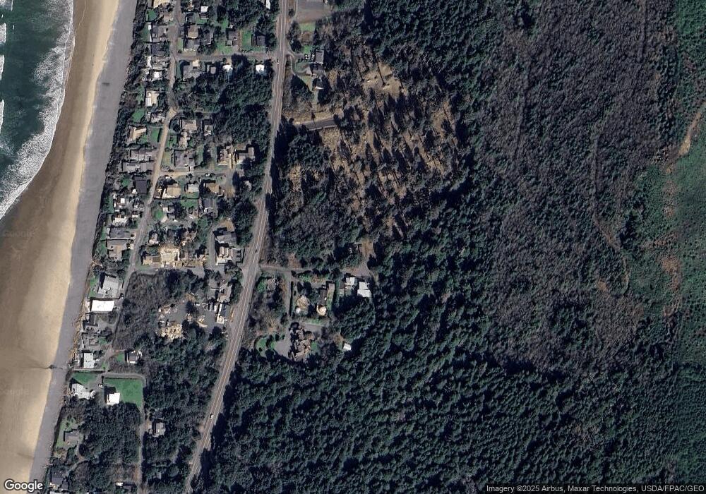
Map
Nearby Homes
- 0 Greenleaf Rd
- 79906 Greenleaf Rd
- 0 Walsh Ln
- 0 Wildwood Ln Unit 2904
- 0 Wildwood Ln Unit 26-225
- 32073 Cedar Ln
- 80444 Carnahan Rd
- 79519 Ray Brown Rd
- 31911 Clatsop Ln
- 0 Clatsop Ln Unit Lot 408
- 79274 Ray Brown Rd
- 0 Ocean Ave Unit 25-686
- 0 Ocean Ave Unit 402119772
- 347 Deer Place
- 3763 E Chinook Ave
- 3772 W Chinook Ave
- 0
- VL S
- 132 E Surfcrest Ave Unit C-1D
- 132 E Surfcrest Ave Unit B2-K
- 0 Pike Rd
- 31976 E Ocean Ln
- 0 E Ocean Ln
- 31972 E Ocean Ln
- 31964 E Ocean Ln
- 31950 E Ocean Ln
- 123 Test St
- 31955 W Ocean Ln
- 31970 E Ocean Ln
- 10 W Ocean Rd
- 30949 W Ocean Ln
- 0 Spruce Ridge Unit 21-732
- 0 Spruce Ridge Unit 22-735
- 0 Spruce Ridge Unit 22147506
- 31945 Star Mooring Ln
- 31950 W Ocean Ln
- 31943 Star Mooring Ln
- 31948 Star Mooring Ln
- 31946 Star Mooring Ln
- 31947 W Ocean Ln
Your Personal Tour Guide
Ask me questions while you tour the home.