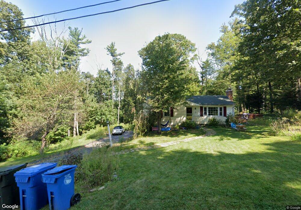
32 Ann Dr Tolland, CT 06084
Estimated Value: $303,747 - $327,000
3
Beds
1
Bath
1,022
Sq Ft
$309/Sq Ft
Est. Value
About This Home
This home is located at 32 Ann Dr, Tolland, CT 06084 and is currently estimated at $315,937, approximately $309 per square foot. 32 Ann Dr is a home located in Tolland County with nearby schools including Tolland High School.
Ownership History
Date
Name
Owned For
Owner Type
Purchase Details
Closed on
Nov 24, 2009
Sold by
Pinto Robert
Bought by
Ferranti Wayne and Pessagno Emilie
Current Estimated Value
Home Financials for this Owner
Home Financials are based on the most recent Mortgage that was taken out on this home.
Original Mortgage
$196,377
Outstanding Balance
$127,825
Interest Rate
4.86%
Estimated Equity
$188,112
Purchase Details
Closed on
Aug 24, 2006
Sold by
Thorpe John
Bought by
Pinto Robert
Home Financials for this Owner
Home Financials are based on the most recent Mortgage that was taken out on this home.
Original Mortgage
$155,000
Interest Rate
4.65%
Create a Home Valuation Report for This Property
The Home Valuation Report is an in-depth analysis detailing your home's value as well as a comparison with similar homes in the area
Home Values in the Area
Average Home Value in this Area
Purchase History
| Date | Buyer | Sale Price | Title Company |
|---|---|---|---|
| Ferranti Wayne | $200,000 | -- | |
| Ferranti Wayne | $200,000 | -- | |
| Pinto Robert | $177,450 | -- | |
| Pinto Robert | $177,450 | -- |
Source: Public Records
Mortgage History
| Date | Status | Borrower | Loan Amount |
|---|---|---|---|
| Open | Pinto Robert | $196,377 | |
| Closed | Pinto Robert | $196,377 | |
| Previous Owner | Pinto Robert | $155,000 |
Source: Public Records
Tax History
| Year | Tax Paid | Tax Assessment Tax Assessment Total Assessment is a certain percentage of the fair market value that is determined by local assessors to be the total taxable value of land and additions on the property. | Land | Improvement |
|---|---|---|---|---|
| 2025 | $4,288 | $157,700 | $61,200 | $96,500 |
| 2024 | $4,166 | $110,300 | $58,200 | $52,100 |
| 2023 | $4,117 | $110,300 | $58,200 | $52,100 |
| 2022 | $4,035 | $110,300 | $58,200 | $52,100 |
| 2021 | $4,093 | $110,300 | $58,200 | $52,100 |
| 2020 | $3,976 | $110,300 | $58,200 | $52,100 |
| 2019 | $3,832 | $106,300 | $60,100 | $46,200 |
| 2018 | $3,721 | $106,300 | $60,100 | $46,200 |
| 2017 | $3,634 | $106,300 | $60,100 | $46,200 |
| 2016 | $3,634 | $106,300 | $60,100 | $46,200 |
| 2015 | $3,546 | $106,300 | $60,100 | $46,200 |
| 2014 | $3,714 | $119,600 | $70,300 | $49,300 |
Source: Public Records
Map
Nearby Homes
- 162 Loehr Rd
- 55 Reservoir Rd
- 85 Belvedere Dr
- 64 Tolland Farms Rd
- 83 Belvedere Dr
- 81 Belvedere Dr
- 25 Reservoir Rd
- 73 Belvedere (Osprey Ii) Dr
- 68 Belvedere (Broadmoor) Dr
- 68 Belvedere Dr
- 69 Belvedere Dr Unit 69
- 64 Belvedere Dr
- 11 Sunrise Dr
- 65 Belvedere Dr Unit 65
- 233 Hartford Turnpike
- 268 Hartford Turnpike Unit C1
- 268 Hartford Turnpike Unit A4
- 224 Hartford Turnpike
- 28 White St
- 130 Grove St
Your Personal Tour Guide
Ask me questions while you tour the home.