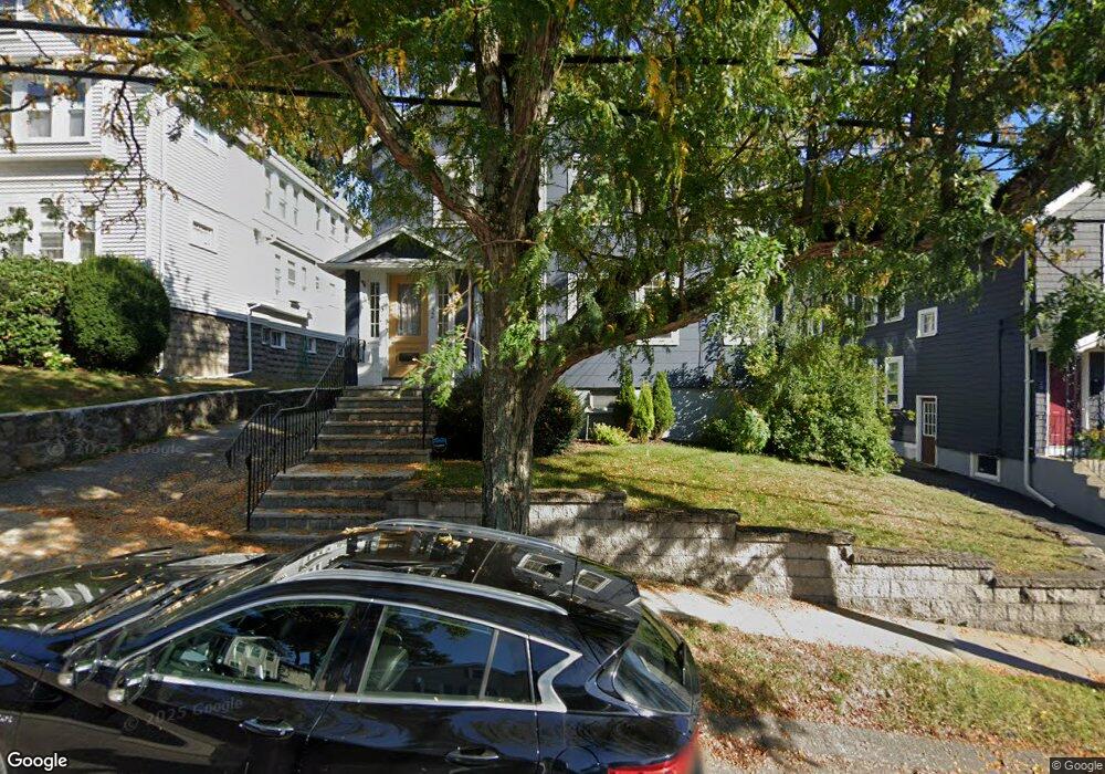
32 Bradford Rd Watertown, MA 02472
West Watertown NeighborhoodEstimated Value: $921,000
5
Beds
2
Baths
2,296
Sq Ft
$401/Sq Ft
Est. Value
About This Home
This home is located at 32 Bradford Rd, Watertown, MA 02472 and is currently priced at $921,000, approximately $401 per square foot. 32 Bradford Rd is a home located in Middlesex County with nearby schools including The Kendall School and Beacon High School.
Ownership History
Date
Name
Owned For
Owner Type
Purchase Details
Closed on
Sep 1, 2011
Sold by
Tuccinardi Mena and Dunn Anita
Bought by
Tuccinardi Mena and Dunn Anita L
Current Estimated Value
Purchase Details
Closed on
Jun 9, 2010
Sold by
Raymond J Hanlon Lt
Bought by
Dunn Anita and Mullaney John
Home Financials for this Owner
Home Financials are based on the most recent Mortgage that was taken out on this home.
Original Mortgage
$345,000
Interest Rate
5.11%
Mortgage Type
Purchase Money Mortgage
Purchase Details
Closed on
Sep 15, 2004
Sold by
Hanlon Raymond J
Bought by
Raymond J Hanlon Lt
Create a Home Valuation Report for This Property
The Home Valuation Report is an in-depth analysis detailing your home's value as well as a comparison with similar homes in the area
Home Values in the Area
Average Home Value in this Area
Purchase History
| Date | Buyer | Sale Price | Title Company |
|---|---|---|---|
| Tuccinardi Mena | -- | -- | |
| Dunn Anita | $514,000 | -- | |
| Raymond J Hanlon Lt | -- | -- |
Source: Public Records
Mortgage History
| Date | Status | Borrower | Loan Amount |
|---|---|---|---|
| Previous Owner | Dunn Anita | $345,000 |
Source: Public Records
Tax History
| Year | Tax Paid | Tax Assessment Tax Assessment Total Assessment is a certain percentage of the fair market value that is determined by local assessors to be the total taxable value of land and additions on the property. | Land | Improvement |
|---|---|---|---|---|
| 2021 | $9,390 | $766,500 | $425,600 | $340,900 |
| 2020 | $9,046 | $745,100 | $411,000 | $334,100 |
| 2019 | $8,869 | $688,600 | $411,000 | $277,600 |
| 2018 | $8,541 | $634,100 | $381,600 | $252,500 |
| 2017 | $8,145 | $586,400 | $333,900 | $252,500 |
| 2016 | $7,772 | $568,100 | $315,600 | $252,500 |
| 2015 | $7,070 | $470,400 | $278,900 | $191,500 |
| 2014 | $6,762 | $452,000 | $260,500 | $191,500 |
Source: Public Records
Map
Nearby Homes
- 34 Bradford Rd Unit 34
- 40 Marion Rd
- 85 Lowell Ave
- 87 Lowell Ave Unit 87
- 652 Belmont St Unit 2
- 652 Belmont St Unit 1
- 456 Belmont St Unit 10
- 71 Carroll St Unit 71
- 589-591 Belmont St
- 199 Palfrey St
- 6 Hovey St
- 73 Palfrey St Unit 73
- 71 Palfrey St Unit 71
- 11 Barbara Terrace
- 519 Belmont St
- 519 Belmont St Unit 2
- 118 Spring St Unit 118
- 111 Fayette St Unit 111
- 76 Hovey St
- 76 Hovey St Unit 3
- 32 Bradford Rd Unit 2
- 32 Bradford Rd Unit 1
- 32 Bradford Rd Unit 32
- 34 Bradford Rd Unit 2
- 36 Bradford Rd Unit 38
- 30 Bradford Rd Unit 30
- 30 Bradford Rd Unit 2
- 28 Bradford Rd Unit 30
- 40 Bradford Rd
- 26 Bradford Rd Unit 2
- 24 Bradford Rd
- 24 Bradford Rd Unit 24
- 24 Bradford Rd Unit 1
- 41 Standish Rd
- 35 Standish Rd
- 33 Bradford Rd
- 47 Standish Rd
- 37 Bradford Rd
- 29 Bradford Rd
- 29 Bradford Rd Unit 29
Your Personal Tour Guide
Ask me questions while you tour the home.