32 Brookside Trail New Milford, CT 06776
Estimated Value: $695,000 - $1,034,000
About This Home
This home is located at 32 Brookside Trail, New Milford, CT 06776 and is currently estimated at $912,404, approximately $379 per square foot. 32 Brookside Trail is a home located in Litchfield County with nearby schools including Hill And Plain Elementary School, Sarah Noble Intermediate School, and Schaghticoke Middle School.
Ownership History
We collect this data history from publicly available records. To have your information removed, we recommend requesting removal directly through your county’s website.
Purchase Details
Purchase Details
Home Financials for this Owner
Home Financials are based on the most recent Mortgage that was taken out on this home.Home Values in the Area
Average Home Value in this Area
Purchase History
We collect this data history from publicly available records. To have your information removed, we recommend requesting removal directly through your county’s website.
| Date | Buyer | Sale Price | Title Company |
|---|---|---|---|
| -- | -- | ||
| $225,000 | -- |
Mortgage History
We collect this data history from publicly available records. To have your information removed, we recommend requesting removal directly through your county’s website.
| Date | Status | Borrower | Loan Amount |
|---|---|---|---|
| Previous Owner | $150,000 |
Tax History
We collect this data history from publicly available records. To have your information removed, we recommend requesting removal directly through your county’s website.
| Year | Tax Paid | Tax Assessment Tax Assessment Total Assessment is a certain percentage of the fair market value that is determined by local assessors to be the total taxable value of land and additions on the property. | Land | Improvement |
|---|---|---|---|---|
| 2025 | $15,214 | $332,920 | $124,600 | $208,320 |
| 2024 | $9,911 | $332,920 | $124,600 | $208,320 |
| 2023 | $9,648 | $332,920 | $124,600 | $208,320 |
| 2022 | $9,438 | $332,920 | $124,600 | $208,320 |
| 2021 | $2,595 | $332,920 | $124,600 | $208,320 |
| 2020 | $9,307 | $324,520 | $135,380 | $189,140 |
| 2019 | $2,595 | $324,520 | $135,380 | $189,140 |
| 2018 | $9,142 | $324,520 | $135,380 | $189,140 |
| 2017 | $2,789 | $324,520 | $135,380 | $189,140 |
| 2016 | $8,687 | $324,520 | $135,380 | $189,140 |
| 2015 | $9,155 | $342,230 | $142,170 | $200,060 |
| 2014 | $9,001 | $342,230 | $142,170 | $200,060 |
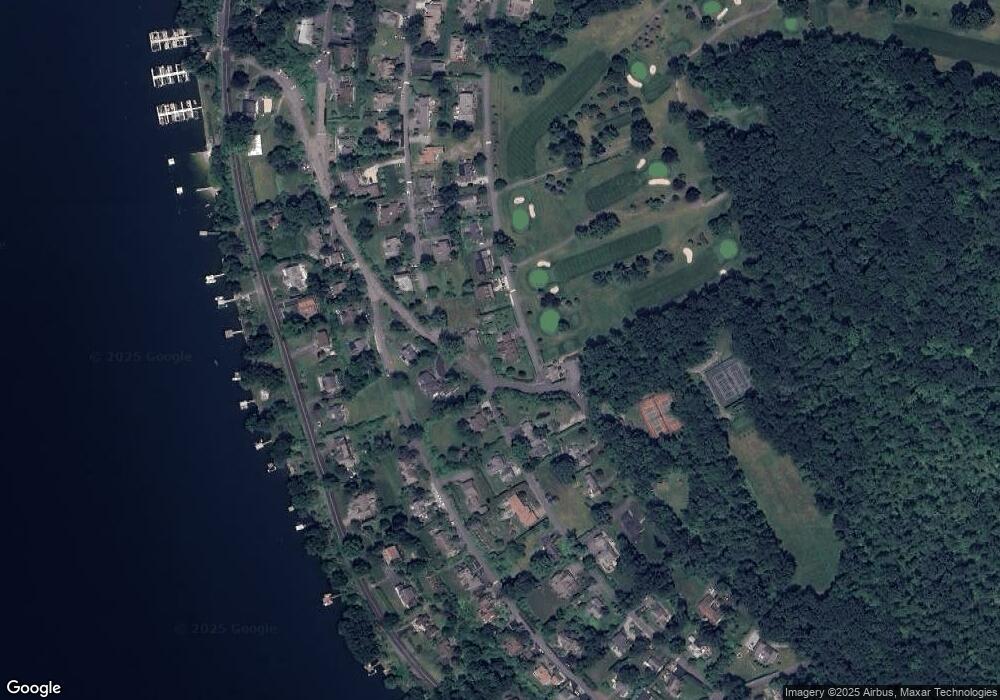
Map
- 241 Carmen Hill Rd
- 113 N Lake Shore Dr
- 3 Gretl Ln
- 126 Carmen Hill Rd
- 63 N Mountain Rd
- 1 Deer Run
- 10 Juniper Dr
- 31 Mountain View Dr
- 156 N Lake Shore Dr
- 38 N Lake Shore Dr
- 22 N Lake Shore Dr
- 20 N Lake Shore Dr
- 18 N Lake Shore Dr
- 128 Carmen Hill Rd
- 20 East Ln
- 15 Berkshire Dr
- 46 Great Heron Ln
- 801 Candlewood Lake Rd S
- 9 Oak Point Club
- 59 Carmen Hill Rd
- 28 Cottontail Ln
- 26 Cottontail Ln
- 88 Indian Trail
- 83 Indian Trail
- 29 Cottontail Ln
- 84 Indian Trail
- 22 Cottontail Ln
- 93 Indian Trail
- 80 Indian Trail
- 95 Indian Trail
- 25 Birch Ln
- 433 Forest Trail
- 100 Indian Trail
- 937 Candlewood Lake Rd S
- 18 Cottontail Ln
- 18 Cottontail (Clc) Ln
- 435 Forest Trail
- 939 Candlewood Lake Rd S
- 28 Brookside Trail
- 935 Candlewood Lake Rd S
Ask me questions while you tour the home.