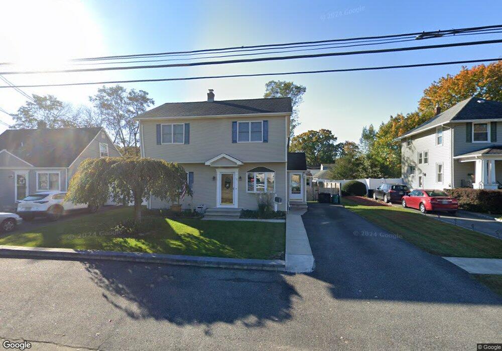
32 Burnside Place Haskell, NJ 07420
Estimated Value: $409,284 - $533,000
Studio
--
Bath
1,480
Sq Ft
$330/Sq Ft
Est. Value
About This Home
This home is located at 32 Burnside Place, Haskell, NJ 07420 and is currently estimated at $488,571, approximately $330 per square foot. 32 Burnside Place is a home located in Passaic County with nearby schools including Lakeland Regional High School and St Marys School.
Ownership History
Date
Name
Owned For
Owner Type
Purchase Details
Closed on
Mar 9, 1998
Sold by
Whitmore Charles T and Whitmore Brenda Lee
Bought by
Whitmore Charles T and Whitmore Brenda Lee
Current Estimated Value
Home Financials for this Owner
Home Financials are based on the most recent Mortgage that was taken out on this home.
Original Mortgage
$116,000
Outstanding Balance
$19,741
Interest Rate
6.92%
Estimated Equity
$468,830
Purchase Details
Closed on
Oct 16, 1996
Sold by
Van Zutphen Estae Of Julia
Bought by
Whitmore Charles and Garrison Brenda
Home Financials for this Owner
Home Financials are based on the most recent Mortgage that was taken out on this home.
Original Mortgage
$108,000
Interest Rate
7.99%
Create a Home Valuation Report for This Property
The Home Valuation Report is an in-depth analysis detailing your home's value as well as a comparison with similar homes in the area
Home Values in the Area
Average Home Value in this Area
Purchase History
We collect this data history from publicly available records. To have your information removed, we recommend requesting removal directly through your county’s website.
| Date | Buyer | Sale Price | Title Company |
|---|---|---|---|
| Whitmore Charles T | -- | -- | |
| Whitmore Charles | $113,400 | -- |
Source: Public Records
Mortgage History
We collect this data history from publicly available records. To have your information removed, we recommend requesting removal directly through your county’s website.
| Date | Status | Borrower | Loan Amount |
|---|---|---|---|
| Open | Whitmore Charles T | $116,000 | |
| Closed | Whitmore Charles | $108,000 |
Source: Public Records
Tax History
| Year | Tax Paid | Tax Assessment Tax Assessment Total Assessment is a certain percentage of the fair market value that is determined by local assessors to be the total taxable value of land and additions on the property. | Land | Improvement |
|---|---|---|---|---|
| 2025 | $8,777 | $203,500 | $94,600 | $108,900 |
| 2024 | $8,602 | $203,500 | $94,600 | $108,900 |
| 2022 | $8,421 | $203,500 | $94,600 | $108,900 |
| 2021 | $8,238 | $203,500 | $94,600 | $108,900 |
| 2020 | $8,146 | $203,500 | $94,600 | $108,900 |
| 2019 | $7,951 | $203,500 | $94,600 | $108,900 |
| 2018 | $7,794 | $203,500 | $94,600 | $108,900 |
| 2017 | $7,611 | $203,500 | $94,600 | $108,900 |
| 2016 | $7,424 | $203,500 | $94,600 | $108,900 |
| 2015 | $7,318 | $203,500 | $94,600 | $108,900 |
| 2014 | $7,173 | $203,500 | $94,600 | $108,900 |
Source: Public Records
Map
Nearby Homes
- 47 Burnside Place
- 17 Butler Place
- 1022 Ringwood Ave
- 1025 Ringwood Ave
- 23 Smith Ave
- 72 Burnside Place
- 36 Elston Ct
- 34 Decker Rd
- 58 Elston Ct
- 19 Dogwood Ln Unit 19
- 19 Dogwood Ln Unit U9F
- 12 Storms Ave
- 5 Storms Place
- 59 Carter Rd Unit A2
- 17 Locust St
- 1099 Ringwood Ave
- 1101 Ringwood Ave
- 5 Locust St
- 6 Evergreen Ave
- 28 Makemoney Ave
Your Personal Tour Guide
Ask me questions while you tour the home.