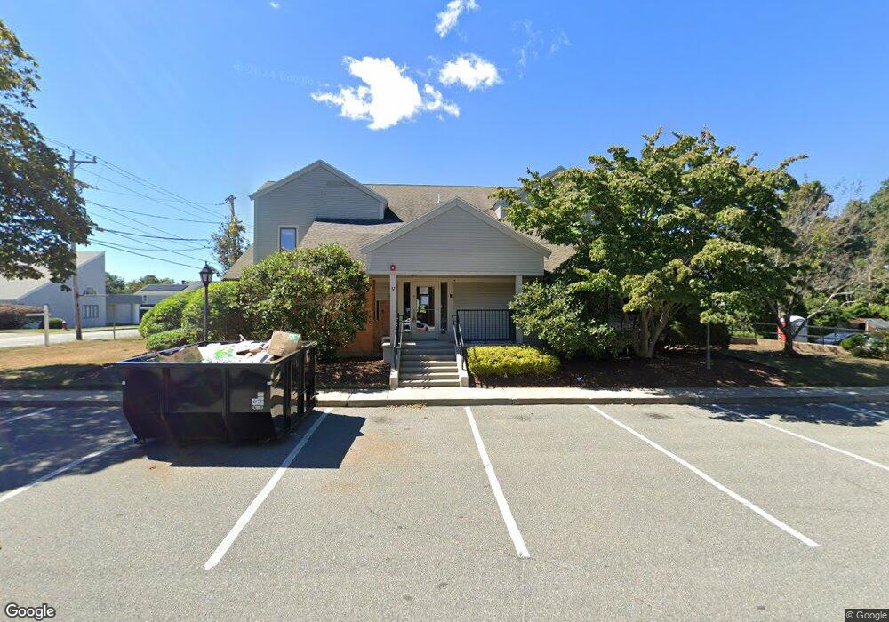
32 Main St Barnstable, MA 02601
Hyannis NeighborhoodEstimated Value: $1,415,694
Studio
2
Baths
5,678
Sq Ft
$249/Sq Ft
Est. Value
About This Home
This home is located at 32 Main St, Barnstable, MA 02601 and is currently priced at $1,415,694, approximately $249 per square foot. 32 Main St is a home located in Barnstable County with nearby schools including Hyannis West Elementary School, Barnstable United Elementary School, and Barnstable Intermediate School.
Ownership History
Date
Name
Owned For
Owner Type
Purchase Details
Closed on
Oct 27, 2023
Sold by
Mojo Realty Invs Llc
Bought by
Cape 6 Dev Group Llc
Current Estimated Value
Home Financials for this Owner
Home Financials are based on the most recent Mortgage that was taken out on this home.
Original Mortgage
$1,825,000
Outstanding Balance
$1,779,432
Interest Rate
7.18%
Mortgage Type
Commercial
Purchase Details
Closed on
Jul 14, 2016
Sold by
32 Main Street Llc
Bought by
Mojo Realty Investment
Home Financials for this Owner
Home Financials are based on the most recent Mortgage that was taken out on this home.
Original Mortgage
$625,000
Interest Rate
3.66%
Mortgage Type
Commercial
Purchase Details
Closed on
Dec 29, 1994
Sold by
Oklahoma Divesters Inc
Bought by
32 Main St Rt and Scudder
Home Financials for this Owner
Home Financials are based on the most recent Mortgage that was taken out on this home.
Original Mortgage
$150,000
Interest Rate
9.2%
Mortgage Type
Commercial
Create a Home Valuation Report for This Property
The Home Valuation Report is an in-depth analysis detailing your home's value as well as a comparison with similar homes in the area
Home Values in the Area
Average Home Value in this Area
Purchase History
| Date | Buyer | Sale Price | Title Company |
|---|---|---|---|
| Cape 6 Dev Group Llc | $1,300,000 | None Available | |
| Mojo Realty Investment | $830,000 | -- | |
| 32 Main St Rt | $300,000 | -- |
Source: Public Records
Mortgage History
| Date | Status | Borrower | Loan Amount |
|---|---|---|---|
| Open | Cape 6 Dev Group Llc | $1,825,000 | |
| Previous Owner | Mojo Realty Investment | $625,000 | |
| Previous Owner | 32 Main St Rt | $150,000 |
Source: Public Records
Tax History
| Year | Tax Paid | Tax Assessment Tax Assessment Total Assessment is a certain percentage of the fair market value that is determined by local assessors to be the total taxable value of land and additions on the property. | Land | Improvement |
|---|---|---|---|---|
| 2025 | $10,345 | $1,052,400 | $0 | $1,052,400 |
| 2024 | $11,326 | $1,161,600 | $0 | $1,161,600 |
| 2023 | $12,208 | $1,161,600 | $0 | $1,161,600 |
| 2022 | $12,558 | $981,100 | $0 | $981,100 |
| 2021 | $11,100 | $867,200 | $0 | $867,200 |
| 2020 | $9,988 | $759,000 | $0 | $759,000 |
| 2019 | $10,369 | $768,100 | $0 | $768,100 |
| 2018 | $9,435 | $725,800 | $0 | $725,800 |
| 2017 | $8,523 | $677,500 | $0 | $677,500 |
| 2016 | $8,320 | $677,500 | $0 | $677,500 |
| 2015 | $8,150 | $679,200 | $0 | $679,200 |
Source: Public Records
Map
Nearby Homes
- 83 Main St
- 22 Terry Ct
- 10 Trenton St
- 110 School St Unit E113
- 115 School St Unit W206
- 35 Pleasant St
- 68 Center St Unit 13
- 121 Camp St Unit 130
- 55 Louis St
- 73 Kings Way
- 65 Louis St
- 25 Ripple Cove Rd
- 26 Marigold Rd
- 54 Murphy Rd
- 287 Ocean St Unit C2
- 287 Ocean St Unit 2 BLDG C
- 0 Ken's Way
- 84 Bearses Way
- 84 Bearses Way
- 62 Pine Ave
- 32 Main St Unit 1
- 32 Main St
- 50 Main St
- 50 Main St
- 30 Main St Unit M
- 30 Main St Unit K
- 30 Main St Unit J
- 30 Main St Unit I
- 30 Main St Unit H
- 30 Main St Unit F
- 30 Main St Unit E
- 30 Main St Unit D
- 30 Main St Unit C
- 30 Main St
- 30 Main St Unit 4
- 30 Main St Unit L
- 30 Main St Unit G
- 30 Main St Unit A
- 30 Main St Unit B
- 54 Main St
Your Personal Tour Guide
Ask me questions while you tour the home.