32 Maplehurst Dr Narragansett, RI 02882
Narragansett AreaEstimated Value: $1,999,000 - $4,414,000
About This Home
This home is located at 32 Maplehurst Dr, Narragansett, RI 02882 and is currently estimated at $2,631,413, approximately $337 per square foot. 32 Maplehurst Dr is a home located in Washington County with nearby schools including Narragansett Elementary School, Narragansett Pier Middle School, and Narragansett High School.
Ownership History
We collect this data history from publicly available records. To have your information removed, we recommend requesting removal directly through your county’s website.
Purchase Details
Home Values in the Area
Average Home Value in this Area
Purchase History
We collect this data history from publicly available records. To have your information removed, we recommend requesting removal directly through your county’s website.
| Date | Buyer | Sale Price | Title Company |
|---|---|---|---|
| $255,000 | -- |
Mortgage History
We collect this data history from publicly available records. To have your information removed, we recommend requesting removal directly through your county’s website.
| Date | Status | Borrower | Loan Amount |
|---|---|---|---|
| Open | $2,650,000 | ||
| Closed | $200,000 | ||
| Closed | $850,000 | ||
| Closed | $270,000 | ||
| Closed | $640,000 |
Tax History
We collect this data history from publicly available records. To have your information removed, we recommend requesting removal directly through your county’s website.
| Year | Tax Paid | Tax Assessment Tax Assessment Total Assessment is a certain percentage of the fair market value that is determined by local assessors to be the total taxable value of land and additions on the property. | Land | Improvement |
|---|---|---|---|---|
| 2025 | $12,277 | $1,808,100 | $482,700 | $1,325,400 |
| 2024 | $11,843 | $1,808,100 | $482,700 | $1,325,400 |
| 2023 | $11,946 | $1,283,100 | $346,700 | $936,400 |
| 2022 | $11,548 | $1,283,100 | $346,700 | $936,400 |
| 2021 | $11,368 | $1,283,100 | $346,700 | $936,400 |
| 2020 | $10,671 | $1,018,200 | $315,700 | $702,500 |
| 2019 | $10,416 | $1,018,200 | $315,700 | $702,500 |
| 2018 | $10,131 | $1,018,200 | $315,700 | $702,500 |
| 2017 | $11,440 | $1,083,300 | $325,400 | $757,900 |
| 2016 | $10,920 | $1,083,300 | $325,400 | $757,900 |
| 2015 | $10,768 | $1,083,300 | $325,400 | $757,900 |
| 2014 | $9,263 | $922,600 | $146,500 | $776,100 |
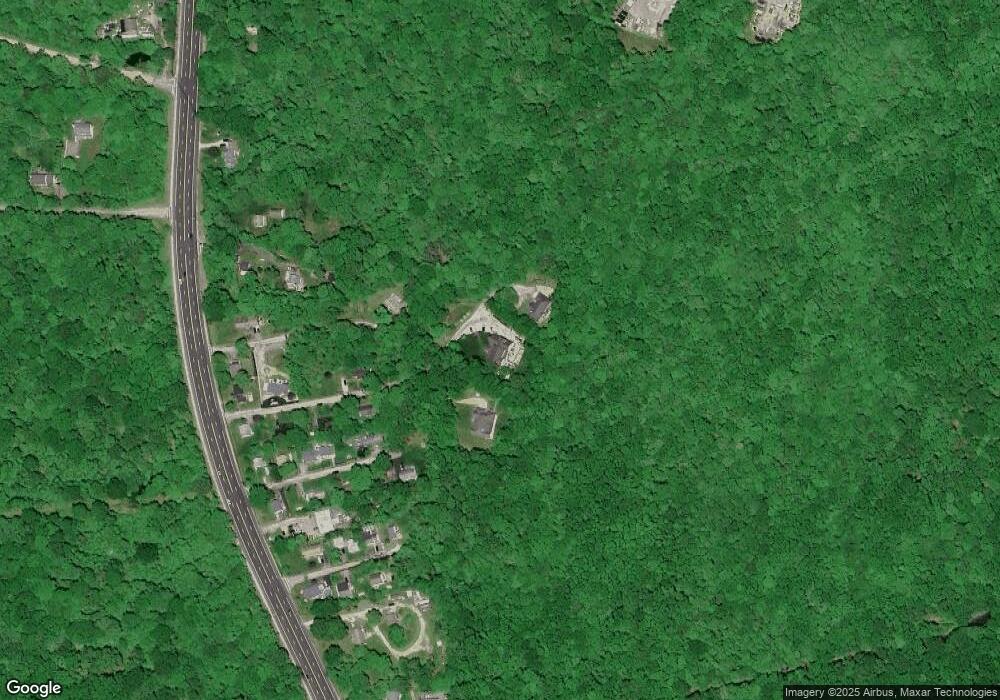
Map
- 2 Martingale Ln
- 194 S Pier Rd
- 48 Foddering Farm Rd
- 70 Foddering Farm Rd
- 335 S Pier Rd Unit 3B
- 140 S Pier Rd
- 87 Woodward Ave
- 43 Inez St
- 0 Blossom Way Unit 1402677
- 30 Gibson Ave
- 15 Kendall Ct
- 73 Congdon St
- 84 Rodman St
- 125 Woodruff Ave
- 137 Kingstown Rd
- 25 Pleasant Ave
- 17 Rose Ct
- 58 Brush Hill Rd
- 106 Cedar Island Rd
- 125 Winchester Dr
- 30 Maplehurst Dr
- 34 Maplehurst Dr
- 24 Maplehurst Dr
- 20 Sunset Rd
- 19 Sunset Rd
- 44 Maplehurst Dr
- 51 Maplehurst Dr
- 0 Maplehurst Dr
- 13 Sunset Rd
- 50 Maplehurst Dr
- 0 Cantone Baron Rd Unit 1298502
- 55 Maplehurst Dr
- 14 Wayne St
- 13 Cantone Rd
- 8 Sunset Rd
- 9 Sunset Rd
- 12 Wayne St
- 56 Maplehurst Dr
- 61 Maplehurst Dr
- 4 Maplehurst Dr
Ask me questions while you tour the home.