Estimated Value: $1,250,000 - $1,629,000
3
Beds
3
Baths
2,572
Sq Ft
$559/Sq Ft
Est. Value
About This Home
This home is located at 32 Noons Dr, Truro, MA 2666 and is currently estimated at $1,437,331, approximately $558 per square foot. 32 Noons Dr is a home located in Barnstable County with nearby schools including Truro Central School.
Ownership History
Date
Name
Owned For
Owner Type
Purchase Details
Closed on
Jan 14, 2010
Sold by
Brock Kenneth S and Brock Anne H
Bought by
Shope John Andrew
Current Estimated Value
Home Financials for this Owner
Home Financials are based on the most recent Mortgage that was taken out on this home.
Original Mortgage
$417,000
Outstanding Balance
$270,431
Interest Rate
4.71%
Mortgage Type
Purchase Money Mortgage
Estimated Equity
$1,166,900
Create a Home Valuation Report for This Property
The Home Valuation Report is an in-depth analysis detailing your home's value as well as a comparison with similar homes in the area
Home Values in the Area
Average Home Value in this Area
Purchase History
| Date | Buyer | Sale Price | Title Company |
|---|---|---|---|
| Shope John Andrew | $592,500 | -- |
Source: Public Records
Mortgage History
| Date | Status | Borrower | Loan Amount |
|---|---|---|---|
| Open | Shope John Andrew | $417,000 |
Source: Public Records
Tax History
| Year | Tax Paid | Tax Assessment Tax Assessment Total Assessment is a certain percentage of the fair market value that is determined by local assessors to be the total taxable value of land and additions on the property. | Land | Improvement |
|---|---|---|---|---|
| 2025 | $6,147 | $994,700 | $304,200 | $690,500 |
| 2024 | $5,796 | $967,600 | $301,100 | $666,500 |
| 2023 | $5,299 | $810,200 | $261,800 | $548,400 |
| 2022 | $4,915 | $635,800 | $225,700 | $410,100 |
| 2021 | $4,673 | $633,200 | $225,700 | $407,500 |
| 2020 | $0 | $657,400 | $223,500 | $433,900 |
| 2019 | $4,946 | $663,900 | $249,200 | $414,700 |
| 2018 | $0 | $629,600 | $249,200 | $380,400 |
| 2017 | $0 | $612,600 | $249,200 | $363,400 |
| 2016 | $4,113 | $607,600 | $246,800 | $360,800 |
| 2015 | $3,949 | $595,600 | $244,400 | $351,200 |
Source: Public Records
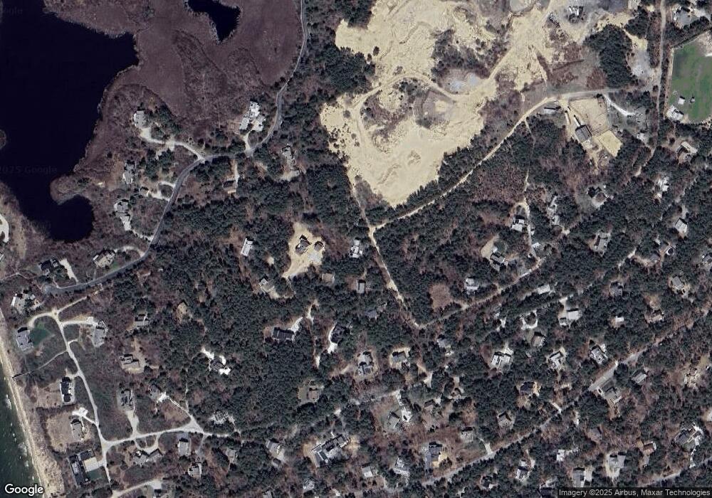
Map
Nearby Homes
- 12 Parker Dr
- 12 Parker Dr
- 23 Crestview Cir
- 3 Bayberry Rd
- 7 Fishermans Rd
- 27 Fishermans Rd
- 332 U S 6
- 7 Great Hollow Rd Unit 50
- 7 Great Hollow Rd Unit 50
- 4 S Highland Rd Unit C
- 17 Shore Rd Unit 2
- 17 Shore Rd Unit 9
- 17 Shore Rd Unit 6
- 17 Shore Rd Unit 6
- 13 Whitmanville Rd
- 14 N Union Field Rd
- 11 Whitmanville Rd
- 4 Highland Rd Unit C
- 4 Resolution Rd
- 2 Resolution Rd
Your Personal Tour Guide
Ask me questions while you tour the home.