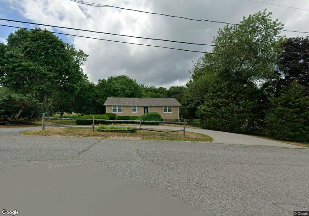
32 Riverside Dr Kingston, MA 02364
Kingston AreaEstimated Value: $496,000 - $586,000
About This Home
This home is located at 32 Riverside Dr, Kingston, MA 02364 and is currently estimated at $547,409, approximately $463 per square foot. 32 Riverside Dr is a home located in Plymouth County with nearby schools including Kingston Elementary School, Silver Lake Regional High School, and Kingston Intermediate School.
Ownership History
We collect this data history from publicly available records. To have your information removed, we recommend requesting removal directly through your county’s website.
Purchase Details
Home Values in the Area
Average Home Value in this Area
Purchase History
We collect this data history from publicly available records. To have your information removed, we recommend requesting removal directly through your county’s website.
| Date | Buyer | Sale Price | Title Company |
|---|---|---|---|
| $139,000 | -- |
Mortgage History
We collect this data history from publicly available records. To have your information removed, we recommend requesting removal directly through your county’s website.
| Date | Status | Borrower | Loan Amount |
|---|---|---|---|
| Open | $168,000 | ||
| Closed | $173,500 | ||
| Closed | $165,000 | ||
| Closed | $152,500 |
Tax History
We collect this data history from publicly available records. To have your information removed, we recommend requesting removal directly through your county’s website.
| Year | Tax Paid | Tax Assessment Tax Assessment Total Assessment is a certain percentage of the fair market value that is determined by local assessors to be the total taxable value of land and additions on the property. | Land | Improvement |
|---|---|---|---|---|
| 2025 | $5,599 | $431,700 | $163,000 | $268,700 |
| 2024 | $5,319 | $418,500 | $163,000 | $255,500 |
| 2023 | $5,013 | $375,200 | $163,000 | $212,200 |
| 2022 | $5,067 | $347,500 | $144,700 | $202,800 |
| 2021 | $4,927 | $306,400 | $144,700 | $161,700 |
| 2020 | $4,532 | $278,400 | $144,700 | $133,700 |
| 2019 | $4,410 | $267,900 | $144,700 | $123,200 |
| 2018 | $4,234 | $257,400 | $144,700 | $112,700 |
| 2017 | $4,054 | $245,700 | $140,400 | $105,300 |
| 2016 | $4,012 | $227,800 | $132,100 | $95,700 |
| 2015 | $3,859 | $227,800 | $132,100 | $95,700 |
| 2014 | $3,780 | $226,600 | $127,700 | $98,900 |
Map
- 38 Landing Rd
- 40 Landing Rd
- Lot 17-1 Howland's Ln
- 20 Brewster Ave
- 12 Hillcrest Rd
- 38 Summer St
- 9 Maple St
- 96 Summer St
- 123 Summer St
- 110 Main St
- 13 Atwood St
- 8 Copper Beech Dr
- 36 Mayflower St
- 100 Parks St Unit 18
- 100 Parks St Unit 35
- 735 Bay Rd
- 24 Holmes Ave
- 4 Cole St
- 38 Cedar Ln
- Lot 17-3 Howlands Ln
Ask me questions while you tour the home.