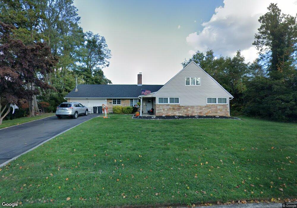
32 Rust Hill Rd Levittown, PA 19056
Red Rose Gate NeighborhoodEstimated Value: $512,356 - $589,000
5
Beds
2
Baths
2,505
Sq Ft
$219/Sq Ft
Est. Value
About This Home
This home is located at 32 Rust Hill Rd, Levittown, PA 19056 and is currently estimated at $548,089, approximately $218 per square foot. 32 Rust Hill Rd is a home located in Bucks County with nearby schools including Walter Miller Elementary School, Sandburg Middle School, and Neshaminy High School.
Ownership History
Date
Name
Owned For
Owner Type
Purchase Details
Closed on
Nov 17, 1993
Sold by
Gibson John F and Gibson Karen V
Bought by
Portland Janice M
Current Estimated Value
Home Financials for this Owner
Home Financials are based on the most recent Mortgage that was taken out on this home.
Original Mortgage
$122,500
Interest Rate
7.45%
Purchase Details
Closed on
May 6, 1982
Bought by
Gibson John F and Gibson Karen
Create a Home Valuation Report for This Property
The Home Valuation Report is an in-depth analysis detailing your home's value as well as a comparison with similar homes in the area
Home Values in the Area
Average Home Value in this Area
Purchase History
We collect this data history from publicly available records. To have your information removed, we recommend requesting removal directly through your county’s website.
| Date | Buyer | Sale Price | Title Company |
|---|---|---|---|
| Portland Janice M | $64,500 | -- | |
| Gibson John F | $58,500 | -- |
Source: Public Records
Mortgage History
We collect this data history from publicly available records. To have your information removed, we recommend requesting removal directly through your county’s website.
| Date | Status | Borrower | Loan Amount |
|---|---|---|---|
| Previous Owner | Portland Janice M | $122,500 |
Source: Public Records
Tax History
| Year | Tax Paid | Tax Assessment Tax Assessment Total Assessment is a certain percentage of the fair market value that is determined by local assessors to be the total taxable value of land and additions on the property. | Land | Improvement |
|---|---|---|---|---|
| 2025 | $6,096 | $28,000 | $6,040 | $21,960 |
| 2024 | $6,096 | $28,000 | $6,040 | $21,960 |
| 2023 | $5,999 | $28,000 | $6,040 | $21,960 |
| 2022 | $5,841 | $28,000 | $6,040 | $21,960 |
| 2021 | $5,841 | $28,000 | $6,040 | $21,960 |
| 2020 | $5,771 | $28,000 | $6,040 | $21,960 |
| 2019 | $5,643 | $28,000 | $6,040 | $21,960 |
| 2018 | $5,539 | $28,000 | $6,040 | $21,960 |
| 2017 | $5,398 | $28,000 | $6,040 | $21,960 |
| 2016 | $5,398 | $28,000 | $6,040 | $21,960 |
| 2015 | $5,587 | $28,000 | $6,040 | $21,960 |
| 2014 | $5,587 | $28,000 | $6,040 | $21,960 |
Source: Public Records
Map
Nearby Homes
- 54 Red Berry Rd
- 18 Forsythia Dr S
- 25 Cobalt Ridge Dr N
- 55 Canoebirch Rd
- 24 Rose Apple Rd
- 44 Cotton Rd
- 48 Fruitree Rd
- 87 Flamehill Rd
- 82 Forsythia Dr E Unit E
- 176 Cobalt Ridge Dr S Unit S
- 25 Cable Rd
- 17 Cloister Rd
- 39 Chaucer Ct
- 66 Chaucer Ct
- 83 Cedar Cir
- 47 Chaucer Ct
- 49 Chaucer Ct
- 51 Chaucer Ct
- 60 Upland Rd
- 212 Apple St
- 38 Rust Hill Rd
- 35 Rain Lily Rd
- 29 Rain Lily Rd
- 39 Rain Lily Rd
- 33 Rust Hill Rd
- 29 Rust Hill Rd
- 42 Rust Hill Rd
- 22 Rust Hill Rd
- 23 Rain Lily Rd
- 39 Rust Hill Rd
- 23 Rust Hill Rd
- 45 Rain Lily Rd
- 30 Rain Lily Rd
- 36 Rain Lily Rd
- 38 Round Hill Rd
- 44 Round Hill Rd
- 16 Rust Hill Rd
- 48 Rust Hill Rd
- 19 Rain Lily Rd
- 45 Rust Hill Rd
Your Personal Tour Guide
Ask me questions while you tour the home.