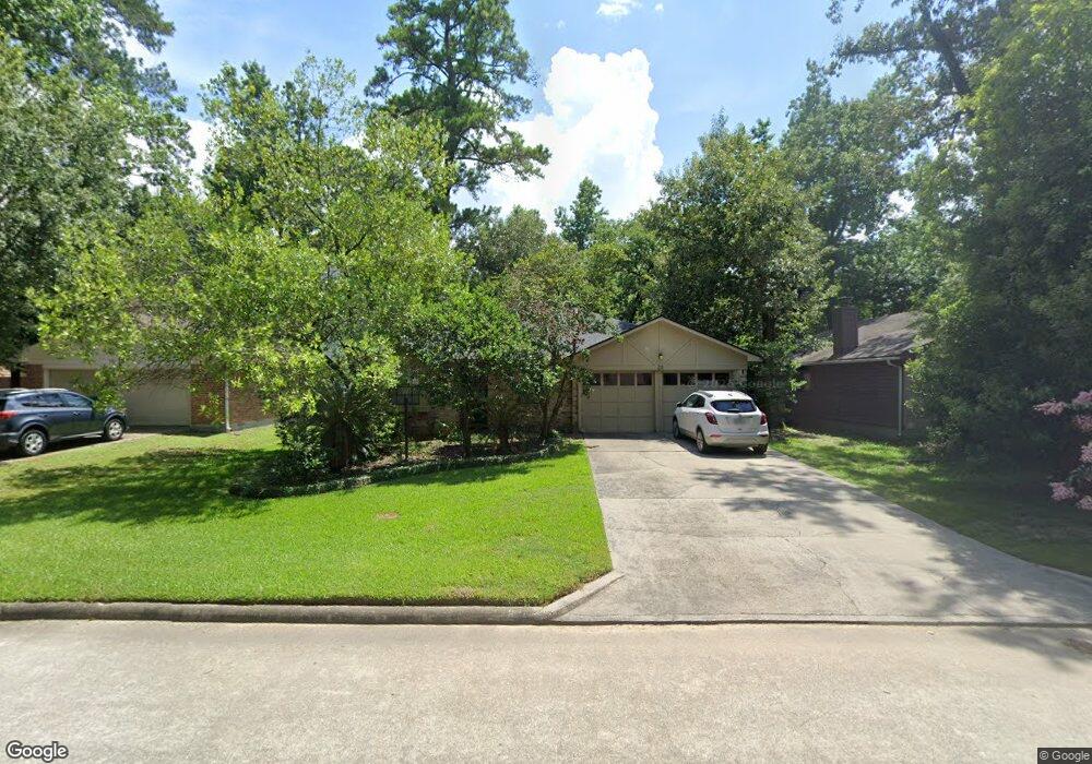
32 S High Oaks Cir Spring, TX 77380
Grogan's Mill NeighborhoodEstimated Value: $253,137 - $315,000
Studio
2
Baths
1,450
Sq Ft
$203/Sq Ft
Est. Value
About This Home
This home is located at 32 S High Oaks Cir, Spring, TX 77380 and is currently estimated at $294,284, approximately $202 per square foot. 32 S High Oaks Cir is a home located in Montgomery County with nearby schools including Hailey Elementary School, W.D Wilkerson Intermediate School, and Knox J High School.
Ownership History
Date
Name
Owned For
Owner Type
Purchase Details
Closed on
May 29, 1997
Sold by
Harwood Thomas F and Harwood Bonnie
Bought by
Ogdee Fred T
Current Estimated Value
Home Financials for this Owner
Home Financials are based on the most recent Mortgage that was taken out on this home.
Original Mortgage
$40,000
Outstanding Balance
$5,818
Interest Rate
8.17%
Estimated Equity
$288,466
Purchase Details
Closed on
Aug 24, 1991
Sold by
Stephens Betty J
Bought by
Ogdee Fred T
Create a Home Valuation Report for This Property
The Home Valuation Report is an in-depth analysis detailing your home's value as well as a comparison with similar homes in the area
Home Values in the Area
Average Home Value in this Area
Purchase History
| Date | Buyer | Sale Price | Title Company |
|---|---|---|---|
| Ogdee Fred T | -- | -- | |
| Ogdee Fred T | -- | -- |
Source: Public Records
Mortgage History
| Date | Status | Borrower | Loan Amount |
|---|---|---|---|
| Open | Ogdee Fred T | $40,000 |
Source: Public Records
Tax History
| Year | Tax Paid | Tax Assessment Tax Assessment Total Assessment is a certain percentage of the fair market value that is determined by local assessors to be the total taxable value of land and additions on the property. | Land | Improvement |
|---|---|---|---|---|
| 2025 | $1,218 | $221,079 | -- | -- |
| 2024 | $1,118 | $200,981 | -- | -- |
| 2023 | $1,118 | $182,710 | $50,000 | $173,440 |
| 2022 | $3,357 | $166,100 | $50,000 | $163,730 |
| 2021 | $3,294 | $151,000 | $12,600 | $138,400 |
| 2020 | $3,461 | $151,920 | $12,600 | $139,320 |
| 2019 | $3,508 | $149,000 | $12,600 | $136,400 |
| 2018 | $2,290 | $143,490 | $12,600 | $130,890 |
| 2017 | $3,420 | $143,490 | $12,600 | $130,890 |
| 2016 | $3,420 | $143,490 | $12,600 | $130,890 |
| 2015 | $2,943 | $142,900 | $12,600 | $137,600 |
| 2014 | $2,943 | $129,910 | $12,600 | $117,310 |
Source: Public Records
Map
Nearby Homes
- 29 S High Oaks Cir
- 3 Rain Walk Ct
- 55 Dew Fall Ct
- 22 S Rain Forest Ct
- 10 S Greenbud Ct
- 8 N Greenbud Ct
- 37 Rockfern Ct
- 34 Green Bough Ct
- 1231 Pruitt Rd
- 30 Camberwell Ct
- 1237 Pruitt Rd
- 9 S Brook Pebble Ct
- 118 Angel Leaf Rd
- 49 Country Forest Ct
- 56 N Morningwood Ct
- 19 Evening Song Ct
- 713 Sawdust Rd
- 134 S Tranquil Path Dr
- 723 Shadowbrook Dr
- 205 Grogans Point Rd
- 34 S High Oaks Cir
- 30 S High Oaks Cir
- 11 Rain Walk Ct
- 36 S High Oaks Cir
- 26 S High Oaks Cir
- 14 Rain Walk Ct
- 33 S High Oaks Cir
- 35 S High Oaks Cir
- 31 S High Oaks Cir
- 24 S High Oaks Cir
- 37 S High Oaks Cir
- 44 Dew Fall Ct
- 39 S High Oaks Cir
- 22 S High Oaks Cir
- 27 S High Oaks Cir
- 10 Rain Walk Ct
- 46 Dew Fall Ct
- 55 Wood Scent Ct
- 53 Wood Scent Ct
- 57 Wood Scent Ct
Your Personal Tour Guide
Ask me questions while you tour the home.