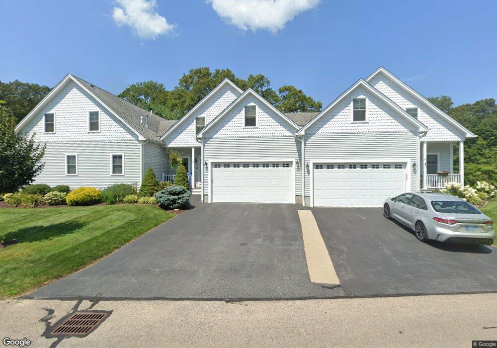
32 Southwinds Dr Wakefield, RI 02879
Estimated Value: $584,000 - $761,000
2
Beds
3
Baths
2,291
Sq Ft
$291/Sq Ft
Est. Value
About This Home
This home is located at 32 Southwinds Dr, Wakefield, RI 02879 and is currently estimated at $667,488, approximately $291 per square foot. 32 Southwinds Dr is a home located in Washington County with nearby schools including South Kingstown High School, The Compass School, and South Shore School.
Ownership History
Date
Name
Owned For
Owner Type
Purchase Details
Closed on
Dec 8, 2014
Sold by
Gurnon Richard P and Gurnon Marsha G
Bought by
Gurnon Chad G and Gurnon Kyle C
Current Estimated Value
Purchase Details
Closed on
Dec 1, 2006
Sold by
Propertie South Winds
Bought by
Gurnon Richard P and Gurnon Marsha G
Home Financials for this Owner
Home Financials are based on the most recent Mortgage that was taken out on this home.
Original Mortgage
$160,000
Interest Rate
6.36%
Mortgage Type
Purchase Money Mortgage
Create a Home Valuation Report for This Property
The Home Valuation Report is an in-depth analysis detailing your home's value as well as a comparison with similar homes in the area
Home Values in the Area
Average Home Value in this Area
Purchase History
| Date | Buyer | Sale Price | Title Company |
|---|---|---|---|
| Gurnon Chad G | -- | -- | |
| Gurnon Richard P | $412,000 | -- |
Source: Public Records
Mortgage History
| Date | Status | Borrower | Loan Amount |
|---|---|---|---|
| Previous Owner | Gurnon Richard P | $160,000 |
Source: Public Records
Tax History
| Year | Tax Paid | Tax Assessment Tax Assessment Total Assessment is a certain percentage of the fair market value that is determined by local assessors to be the total taxable value of land and additions on the property. | Land | Improvement |
|---|---|---|---|---|
| 2025 | $5,112 | $571,800 | $0 | $571,800 |
| 2024 | $4,550 | $411,800 | $0 | $411,800 |
| 2023 | $4,550 | $411,800 | $0 | $411,800 |
| 2022 | $4,509 | $411,800 | $0 | $411,800 |
| 2021 | $5,188 | $359,000 | $0 | $359,000 |
| 2020 | $5,188 | $359,000 | $0 | $359,000 |
| 2019 | $5,188 | $359,000 | $0 | $359,000 |
| 2018 | $5,345 | $340,900 | $0 | $340,900 |
| 2017 | $5,219 | $340,900 | $0 | $340,900 |
| 2016 | $5,144 | $340,900 | $0 | $340,900 |
| 2015 | $4,568 | $294,300 | $0 | $294,300 |
| 2014 | $4,556 | $294,300 | $0 | $294,300 |
Source: Public Records
Map
Nearby Homes
- 42 Vespia Ln
- 54 Vespia Ln
- 1668 Kingstown Rd
- 57 Rocky Brook Way
- 0 South Rd Unit 1400966
- 1359 Kingstown Rd
- 228 Rodman St
- 222 Sweet Allen Farm Rd Unit D3
- 507 Curtis Corner Rd
- 260 Sweet Allen Farm Rd Unit 3
- 1729 South Rd Unit C
- 1724 South Rd
- 21 Lookout Ln
- 95 S Woods Dr
- 301 Church St Unit 103
- 48 Stone Bridge Dr
- 34 Gentian Dr
- 67 Stonehenge Rd
- 147 Francis Horn Dr
- 23 Rockland Dr
- 32 Southwinds Dr Unit 4
- 36 Southwinds Dr
- 36 Southwinds Dr Unit 5
- 28 Southwinds Dr
- 28 Southwinds Dr Unit 3
- UNIT 26 Southwinds Dr Unit 26
- 39 Southwinds Dr
- 39 Southwinds Dr Unit 56
- 41 Southwinds Dr
- 41 Southwinds Dr Unit 55
- 31 Southwinds Dr
- 31 Southwinds Dr Unit 58
- 18 Southwinds Dr
- 18 Southwinds Dr Unit 2
- 35 Southwinds Dr
- 35 Southwinds Dr Unit 57
- 27 Southwinds Dr
- 27 Southwinds Dr Unit 59
- 16 Southwinds Dr
- 16 Southwinds Dr Unit 1
Your Personal Tour Guide
Ask me questions while you tour the home.