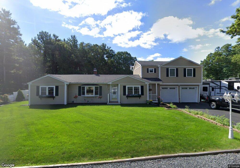
32 West St Pembroke, MA 02359
Estimated Value: $650,264 - $863,000
4
Beds
3
Baths
2,116
Sq Ft
$362/Sq Ft
Est. Value
About This Home
This home is located at 32 West St, Pembroke, MA 02359 and is currently estimated at $765,566, approximately $361 per square foot. 32 West St is a home located in Plymouth County with nearby schools including Pembroke High School.
Ownership History
Date
Name
Owned For
Owner Type
Purchase Details
Closed on
Aug 25, 2003
Sold by
Lane John E and Lane Marlene A
Bought by
Hussey Pj and Hussey Susan M
Current Estimated Value
Home Financials for this Owner
Home Financials are based on the most recent Mortgage that was taken out on this home.
Original Mortgage
$271,200
Interest Rate
5.52%
Mortgage Type
Purchase Money Mortgage
Create a Home Valuation Report for This Property
The Home Valuation Report is an in-depth analysis detailing your home's value as well as a comparison with similar homes in the area
Purchase History
| Date | Buyer | Sale Price | Title Company |
|---|---|---|---|
| Hussey Pj | $339,000 | -- |
Source: Public Records
Mortgage History
| Date | Status | Borrower | Loan Amount |
|---|---|---|---|
| Closed | Hussey Pj | $46,000 | |
| Open | Hussey Pj | $230,000 | |
| Closed | Hussey Pj | $35,000 | |
| Closed | Hussey Pj | $271,200 |
Source: Public Records
Tax History
| Year | Tax Paid | Tax Assessment Tax Assessment Total Assessment is a certain percentage of the fair market value that is determined by local assessors to be the total taxable value of land and additions on the property. | Land | Improvement |
|---|---|---|---|---|
| 2025 | $6,993 | $581,800 | $260,400 | $321,400 |
| 2024 | $6,770 | $562,800 | $243,000 | $319,800 |
| 2023 | $6,854 | $538,800 | $243,000 | $295,800 |
| 2022 | $6,641 | $469,300 | $198,900 | $270,400 |
| 2021 | $5,861 | $402,000 | $189,700 | $212,300 |
| 2020 | $5,715 | $394,400 | $181,200 | $213,200 |
| 2019 | $5,405 | $370,200 | $176,600 | $193,600 |
| 2018 | $5,101 | $342,600 | $159,200 | $183,400 |
| 2017 | $5,059 | $335,000 | $150,600 | $184,400 |
| 2016 | $4,984 | $326,600 | $142,000 | $184,600 |
| 2015 | $4,634 | $314,400 | $129,000 | $185,400 |
Source: Public Records
Map
Nearby Homes
- 51 Oletree Rd
- 10 Beach Rd
- 10 Mattakeesett Ave
- 50 Christina Marie Dr
- 11 Carol Ave
- 52 Plain St
- 26 Jessica Cir
- 59 Erikson Ln
- 0 Thompson St
- 627 School St
- 12 Santos Ct
- 42 Taylor Point Rd
- 25 Lawrence Rd
- 100 Valley St
- 496 Main St Unit 2
- 115 Waltham St
- 561 Twin Lakes Dr
- 534 Twin Lakes Dr
- 0 Union Park St
- 72 Old Cart Path Ln Unit Lot 2
Your Personal Tour Guide
Ask me questions while you tour the home.