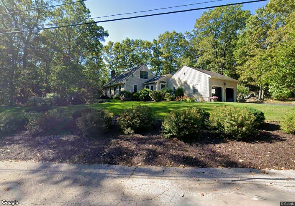
320 Bennett St Wrentham, MA 02093
Estimated Value: $662,000 - $758,000
3
Beds
3
Baths
1,821
Sq Ft
$394/Sq Ft
Est. Value
About This Home
This home is located at 320 Bennett St, Wrentham, MA 02093 and is currently estimated at $717,383, approximately $393 per square foot. 320 Bennett St is a home located in Norfolk County with nearby schools including Delaney Elementary School, Charles E Roderick, and Mercymount Country Day School.
Ownership History
Date
Name
Owned For
Owner Type
Purchase Details
Closed on
Jan 12, 2026
Sold by
Gibson Keith and Gibson Laurin L
Bought by
Gibson Ft and Gibson
Current Estimated Value
Purchase Details
Closed on
Aug 26, 1976
Bought by
Gibson Keith M and Gibson Laurin L
Create a Home Valuation Report for This Property
The Home Valuation Report is an in-depth analysis detailing your home's value as well as a comparison with similar homes in the area
Purchase History
| Date | Buyer | Sale Price | Title Company |
|---|---|---|---|
| Gibson Ft | -- | -- | |
| Gibson Keith M | -- | -- |
Source: Public Records
Mortgage History
| Date | Status | Borrower | Loan Amount |
|---|---|---|---|
| Previous Owner | Gibson Keith M | $145,000 | |
| Previous Owner | Gibson Keith M | $31,000 | |
| Previous Owner | Gibson Keith M | $90,000 |
Source: Public Records
Tax History
| Year | Tax Paid | Tax Assessment Tax Assessment Total Assessment is a certain percentage of the fair market value that is determined by local assessors to be the total taxable value of land and additions on the property. | Land | Improvement |
|---|---|---|---|---|
| 2025 | $7,423 | $640,500 | $302,100 | $338,400 |
| 2024 | $7,122 | $593,500 | $302,100 | $291,400 |
| 2023 | $6,926 | $548,800 | $274,500 | $274,300 |
| 2022 | $6,735 | $492,700 | $256,000 | $236,700 |
| 2021 | $6,279 | $446,300 | $223,400 | $222,900 |
| 2020 | $6,189 | $434,300 | $198,600 | $235,700 |
| 2019 | $5,961 | $422,200 | $198,600 | $223,600 |
| 2018 | $5,413 | $380,100 | $169,000 | $211,100 |
| 2017 | $5,291 | $371,300 | $165,800 | $205,500 |
| 2016 | $5,214 | $365,100 | $161,000 | $204,100 |
| 2015 | $5,108 | $341,000 | $154,700 | $186,300 |
| 2014 | $5,023 | $328,100 | $148,800 | $179,300 |
Source: Public Records
Map
Nearby Homes
- 440 Chestnut St
- 613 West St
- 10 Earle Stewart Ln Unit Lot 5
- 1222 South St
- 12 Earle Stewart Ln
- 2 Earle Stewart Ln
- 3 Earle Stewart Ln
- 135 Creek St Unit 2
- 20 Field Cir
- 440 South St
- 6 Woodchester Rd
- 19 Chestnut St Lot 2
- 19 Chestnut St Lot 3
- 23 Horseshoe Dr
- 165 Wampum St
- 1 Chestnut St
- 11 Amber Dr
- 0 Berry St
- 0 Fall Ln
- 500 Franklin St
- 330 Bennett St
- 325 Bennett St
- 331 Bennett St
- 318 Bennett St
- 315 Bennett St
- 305 Bennett St
- 305 Bennett St Unit 305
- 345 Bennett St
- 314 Bennett St
- 337 Bennett St
- 350 Bennett St
- 355 Bennett St
- 295 Bennett St
- 310 Bennett St
- 308 Bennett St
- 365 Bennett St
- 285 Bennett St
- 370 Bennett St
- 304 Bennett St
- 306 Bennett St
Your Personal Tour Guide
Ask me questions while you tour the home.