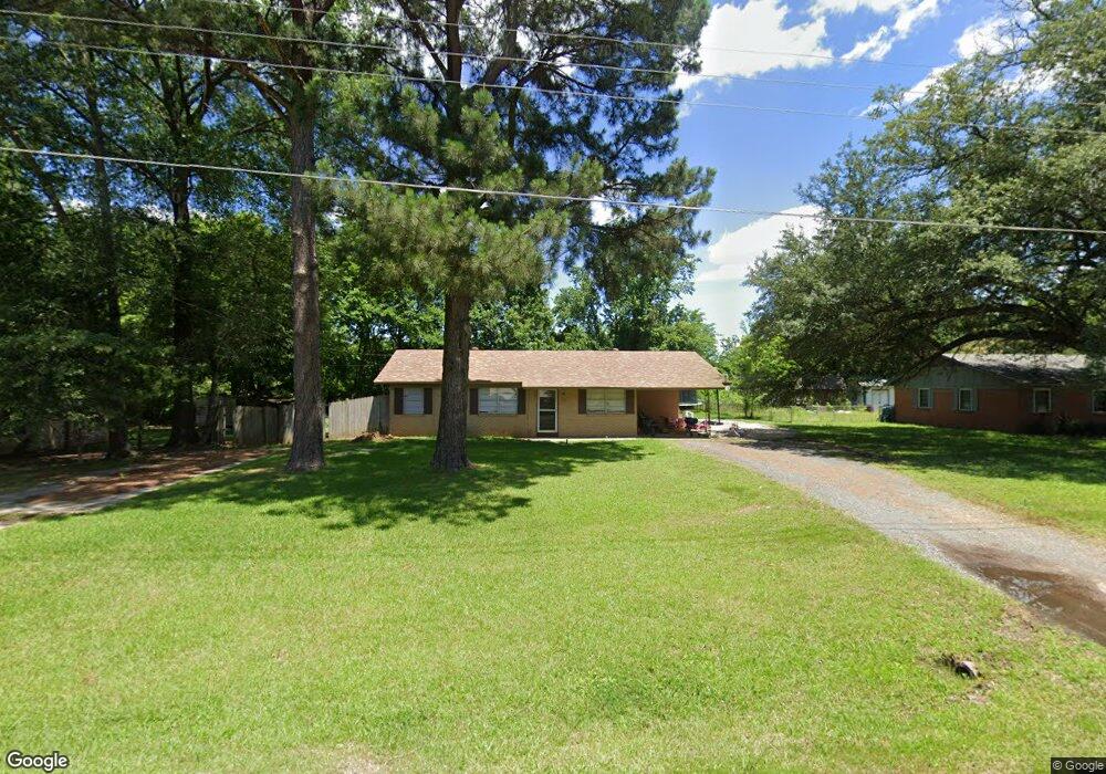
320 Click St Ashdown, AR 71822
Estimated Value: $100,638 - $170,000
Studio
1
Bath
1,176
Sq Ft
$110/Sq Ft
Est. Value
About This Home
This home is located at 320 Click St, Ashdown, AR 71822 and is currently estimated at $129,910, approximately $110 per square foot. 320 Click St is a home located in Little River County with nearby schools including Ashdown Elementary School, L.F. Henderson Interm. School, and Ashdown Junior High School.
Ownership History
Date
Name
Owned For
Owner Type
Purchase Details
Closed on
Feb 17, 2015
Bought by
Vestco, Llc
Current Estimated Value
Purchase Details
Closed on
Apr 11, 2014
Bought by
Sharp Dennis and Sharp Shelley
Purchase Details
Closed on
Jan 28, 2004
Bought by
Sullivan Damita and Sullivan Jeffrey
Purchase Details
Closed on
Feb 28, 2002
Bought by
Gribble David A and Gribble Mary E
Purchase Details
Closed on
Sep 17, 1998
Bought by
Gribble David A and Gribble Mary E
Purchase Details
Closed on
Aug 10, 1992
Bought by
Gribble David A and Gribble Mary E
Purchase Details
Closed on
Jul 13, 1992
Bought by
Gribble David A and Gribble Mary E
Create a Home Valuation Report for This Property
The Home Valuation Report is an in-depth analysis detailing your home's value as well as a comparison with similar homes in the area
Home Values in the Area
Average Home Value in this Area
Purchase History
| Date | Buyer | Sale Price | Title Company |
|---|---|---|---|
| Vestco, Llc | $63,000 | -- | |
| Sharp Dennis | $20,000 | -- | |
| Sullivan Damita | $36,000 | -- | |
| Gribble David A | -- | -- | |
| Gribble David A | $27,600 | -- | |
| Gribble David A | -- | -- | |
| Gribble David A | $27,000 | -- |
Source: Public Records
Tax History
| Year | Tax Paid | Tax Assessment Tax Assessment Total Assessment is a certain percentage of the fair market value that is determined by local assessors to be the total taxable value of land and additions on the property. | Land | Improvement |
|---|---|---|---|---|
| 2025 | $613 | $14,630 | $2,200 | $12,430 |
| 2024 | $613 | $14,630 | $2,200 | $12,430 |
| 2023 | $608 | $14,630 | $2,200 | $12,430 |
| 2022 | $558 | $14,630 | $2,200 | $12,430 |
| 2021 | $507 | $12,100 | $1,240 | $10,860 |
| 2020 | $507 | $12,100 | $1,240 | $10,860 |
| 2019 | $507 | $12,100 | $1,240 | $10,860 |
| 2018 | $507 | $12,100 | $1,240 | $10,860 |
| 2017 | $490 | $12,100 | $1,240 | $10,860 |
| 2016 | $445 | $10,630 | $1,150 | $9,480 |
| 2015 | $445 | $10,630 | $1,150 | $9,480 |
| 2014 | $429 | $10,630 | $1,150 | $9,480 |
Source: Public Records
Map
Nearby Homes
- 1249 S 9th St
- 1241 Grant St
- 1331 Grant St
- 155 Lr 200
- TBD Lr 183
- 682 U S Highway 71
- 680 U S Highway 71
- TBD Lr 21
- 0 Little River 43
- 000 Little River 43
- 210 E Cowling St
- 270 Burke St
- 171 N Dupree St
- 251 S Walker St
- 1609 Buck Wright Rd
- 510 Guice Ave
- 260 Frankies Ln
- 1151 Rankin St
- 1665 Peyton Ave
- 1520 Pine Dr
Your Personal Tour Guide
Ask me questions while you tour the home.