320 Doe Rd Glide, OR 97443
Glide NeighborhoodEstimated Value: $193,000 - $247,374
--
Bed
--
Bath
--
Sq Ft
217,800
Sq Ft Lot
About This Home
This home is located at 320 Doe Rd, Glide, OR 97443 and is currently estimated at $223,125. 320 Doe Rd is a home located in Douglas County with nearby schools including Glide Elementary School, Glide Middle School, and Glide High School.
Ownership History
Date
Name
Owned For
Owner Type
Purchase Details
Closed on
Nov 25, 2024
Sold by
Gissel Douglas L
Bought by
Douglas Lee Gissel Revocable Trust and Gissel
Current Estimated Value
Purchase Details
Closed on
Jan 6, 2022
Sold by
Hansen Ralph Jay and Hansen Barbara K
Bought by
Ralph Jay Hansen And Barbara K Hansen Joint R and Hansen
Purchase Details
Closed on
May 16, 2013
Sold by
Long Glenn W
Bought by
Hansen Ralph Jay and Hansen Barbara K
Home Financials for this Owner
Home Financials are based on the most recent Mortgage that was taken out on this home.
Original Mortgage
$45,000
Interest Rate
3.5%
Mortgage Type
Unknown
Purchase Details
Closed on
May 14, 2013
Sold by
Cooper Donald L
Bought by
Hansen Ralph Jay and Hansen Barbara K
Home Financials for this Owner
Home Financials are based on the most recent Mortgage that was taken out on this home.
Original Mortgage
$45,000
Interest Rate
3.5%
Mortgage Type
Unknown
Create a Home Valuation Report for This Property
The Home Valuation Report is an in-depth analysis detailing your home's value as well as a comparison with similar homes in the area
Home Values in the Area
Average Home Value in this Area
Purchase History
| Date | Buyer | Sale Price | Title Company |
|---|---|---|---|
| Douglas Lee Gissel Revocable Trust | -- | None Listed On Document | |
| Ralph Jay Hansen And Barbara K Hansen Joint R | -- | None Listed On Document | |
| Hansen Ralph Jay | $27,500 | Amerititle | |
| Hansen Ralph Jay | $27,500 | Amerititle |
Source: Public Records
Mortgage History
| Date | Status | Borrower | Loan Amount |
|---|---|---|---|
| Previous Owner | Hansen Ralph Jay | $45,000 |
Source: Public Records
Tax History
| Year | Tax Paid | Tax Assessment Tax Assessment Total Assessment is a certain percentage of the fair market value that is determined by local assessors to be the total taxable value of land and additions on the property. | Land | Improvement |
|---|---|---|---|---|
| 2025 | $1,130 | $84,842 | $84,842 | -- |
| 2024 | $1,006 | $82,371 | $82,371 | -- |
| 2023 | $970 | $79,972 | $0 | $0 |
| 2022 | $915 | $77,643 | $0 | $0 |
| 2021 | $950 | $75,382 | $0 | $0 |
| 2020 | $944 | $74,681 | $0 | $0 |
| 2019 | $934 | $4,266 | $0 | $4,266 |
| 2018 | $898 | $5,205 | $0 | $0 |
| 2017 | $845 | $68,345 | $0 | $0 |
| 2016 | $795 | $64,462 | $0 | $0 |
| 2015 | $766 | $61,627 | $0 | $0 |
| 2014 | $773 | $61,649 | $0 | $0 |
| 2013 | -- | $66,355 | $0 | $0 |
Source: Public Records
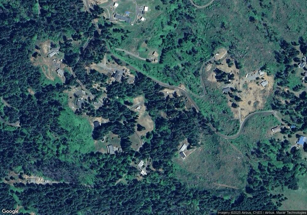
Map
Nearby Homes
- 175 Doe Rd
- 610 Terrace Dr
- 283 Upper Terrace Ln
- 411 Upper Terrace Ln
- 106 Odille Ct
- 261 S Estella St
- 14536 Little River Rd
- 0 Park St
- 123 Mountain View
- 267 Mountain View
- 225 Doraleen Ln
- 781 Pine Ridge Dr
- 3413 Wild River Dr
- 900 Old Cabin Dr
- 369 Upper Camp Loop Rd
- 418 Rivershore Dr
- 1884 Wild River Dr
- 121 Wild Goose Ln
- 400 Newbridge Rd
- 1176 Whistlers Ln
- 0 Doe Rd
- 2478 Bar L Ranch Rd
- 299 Doe Rd
- 225 Doe Rd
- 377 Doe Rd
- 2681 Bar L Ranch Rd
- 395 Doe Rd
- 225 Doe Rd
- 2430 Bar L Ranch Rd
- 2800 Bar L Ranch Rd
- 2660 Bar L Ranch Rd
- 101 Doe Rd
- 2385 Bar L Ranch Rd
- 2810 Bar L Ranch Rd
- 2420 Bar L Ranch Rd
- 2264 Bar L Ranch Rd
- 1638 Bar L Ranch Rd
- 1500 Bar L Ranch Rd
- 2890 Bar L Ranch Rd
- 2881 Bar L Ranch Rd
Your Personal Tour Guide
Ask me questions while you tour the home.