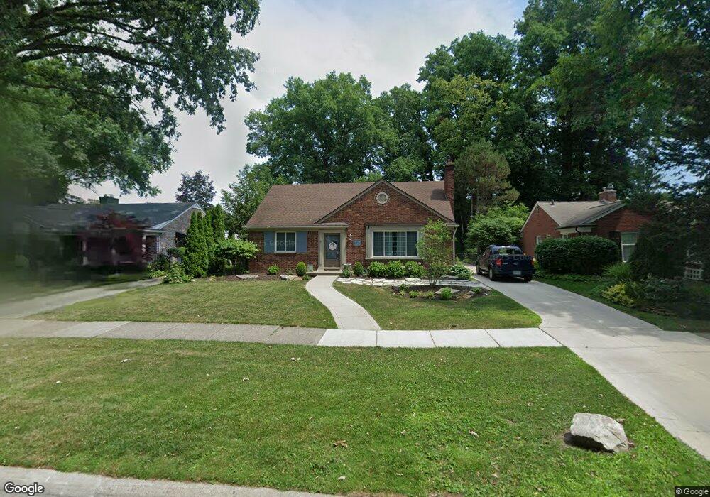
320 Lothrop Rd Grosse Pointe Farms, MI 48236
Estimated Value: $386,615 - $515,000
3
Beds
2
Baths
1,600
Sq Ft
$278/Sq Ft
Est. Value
About This Home
This home is located at 320 Lothrop Rd, Grosse Pointe Farms, MI 48236 and is currently estimated at $444,154, approximately $277 per square foot. 320 Lothrop Rd is a home located in Wayne County with nearby schools including Kerby Elementary School, Brownell Middle School, and Grosse Pointe South High School.
Ownership History
Date
Name
Owned For
Owner Type
Purchase Details
Closed on
Aug 24, 2009
Sold by
Hogan Frank P and Hogan Mary Louise
Bought by
Zimmerman Todd B
Current Estimated Value
Home Financials for this Owner
Home Financials are based on the most recent Mortgage that was taken out on this home.
Original Mortgage
$171,830
Outstanding Balance
$112,433
Interest Rate
5.28%
Mortgage Type
FHA
Estimated Equity
$331,721
Purchase Details
Closed on
Dec 7, 1998
Create a Home Valuation Report for This Property
The Home Valuation Report is an in-depth analysis detailing your home's value as well as a comparison with similar homes in the area
Home Values in the Area
Average Home Value in this Area
Purchase History
| Date | Buyer | Sale Price | Title Company |
|---|---|---|---|
| Zimmerman Todd B | $175,000 | Greco | |
| -- | $50,000 | -- |
Source: Public Records
Mortgage History
| Date | Status | Borrower | Loan Amount |
|---|---|---|---|
| Open | Zimmerman Todd B | $171,830 |
Source: Public Records
Tax History
| Year | Tax Paid | Tax Assessment Tax Assessment Total Assessment is a certain percentage of the fair market value that is determined by local assessors to be the total taxable value of land and additions on the property. | Land | Improvement |
|---|---|---|---|---|
| 2025 | $3,032 | $180,800 | $0 | $0 |
| 2024 | $2,852 | $162,100 | $0 | $0 |
| 2023 | $2,717 | $151,500 | $0 | $0 |
| 2022 | $5,075 | $139,200 | $0 | $0 |
| 2021 | $4,794 | $133,700 | $0 | $0 |
| 2019 | $4,714 | $133,700 | $0 | $0 |
| 2018 | $2,413 | $124,700 | $0 | $0 |
| 2017 | $4,186 | $122,200 | $0 | $0 |
| 2016 | $4,388 | $117,700 | $0 | $0 |
| 2015 | $8,692 | $96,800 | $0 | $0 |
| 2013 | $8,420 | $84,200 | $0 | $0 |
| 2012 | $2,194 | $82,500 | $34,500 | $48,000 |
Source: Public Records
Map
Nearby Homes
- 314 Mount Vernon Ave
- 302 Mount Vernon Ave
- 319 Cloverly Rd
- 259 Mount Vernon Ave
- 258 Merriweather Rd
- 414 Cloverly Rd
- 318 Kerby Rd
- 257 Ridge Rd
- 242 Lewiston Rd
- 4496 Radnor St
- 171 Moran Rd
- 4528 Farmbrook St
- 768 Washington Rd
- 18119 Cornwall St
- 18109 Cornwall St
- 18101 Cornwall St
- 174 Kerby Rd
- 4598 Lodewyck St
- 5047 Anatole St
- 4861 Farmbrook St
- 316 Lothrop Rd
- 324 Lothrop Rd
- 330 Lothrop Rd
- 312 Lothrop Rd
- 317 Stephens Rd
- 325 Stephens Rd
- 331 Stephens Rd
- 311 Stephens Rd
- 334 Lothrop Rd
- 335 Stephens Rd
- 305 Stephens Rd
- 319 Lothrop Rd
- 323 Lothrop Rd
- 304 Lothrop Rd
- 233 Beaupre Ave
- 315 Lothrop Rd
- 327 Lothrop Rd
- 341 Stephens Rd
- 311 Lothrop Rd
- 320 Stephens Rd
Your Personal Tour Guide
Ask me questions while you tour the home.