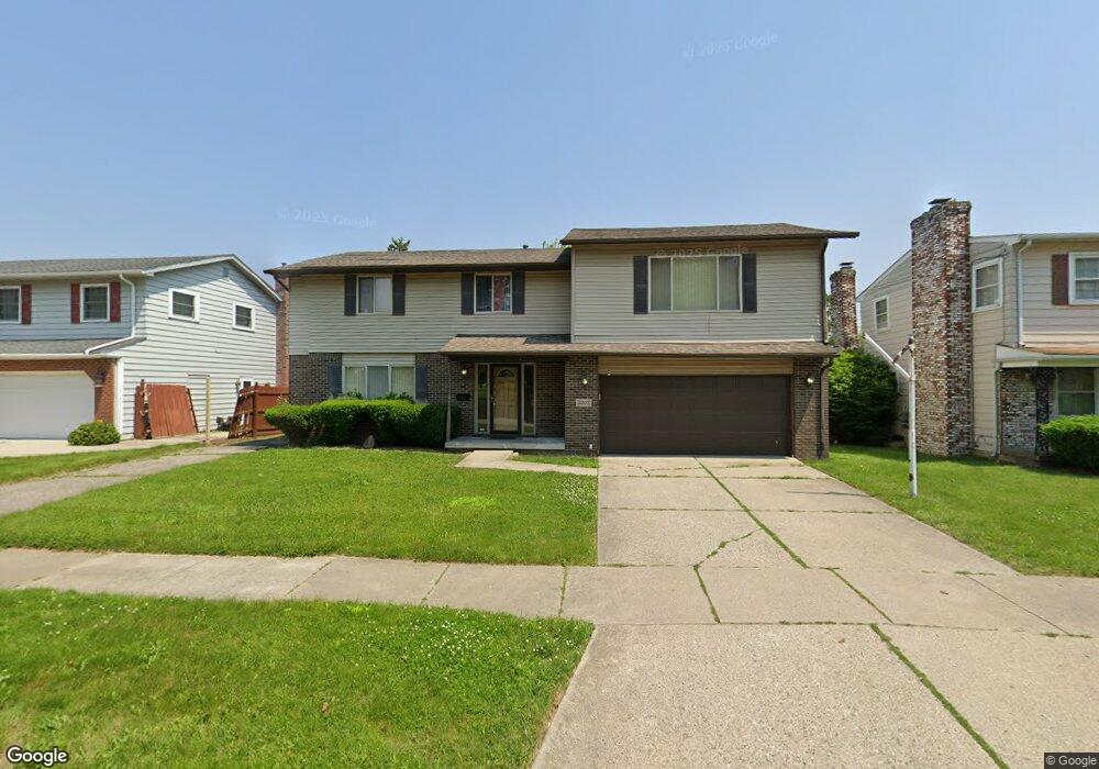
3202 Stevenson St Flint, MI 48504
Ballenger Highway NeighborhoodEstimated Value: $108,297 - $140,000
3
Beds
3
Baths
1,744
Sq Ft
$71/Sq Ft
Est. Value
About This Home
This home is located at 3202 Stevenson St, Flint, MI 48504 and is currently estimated at $124,074, approximately $71 per square foot. 3202 Stevenson St is a home located in Genesee County with nearby schools including Durant-Tuuri-Mott Elementary School, Greater Heights Academy, and St. Paul Lutheran School.
Ownership History
Date
Name
Owned For
Owner Type
Purchase Details
Closed on
Feb 19, 2016
Sold by
The Genesee County Land Bank Authority
Bought by
Spight Garth Jeromye
Current Estimated Value
Purchase Details
Closed on
Dec 17, 2015
Sold by
Genesee County
Bought by
Genesee County Land Bank
Purchase Details
Closed on
Jul 5, 2007
Sold by
Woods Myra W
Bought by
Financial Plus Fcu
Purchase Details
Closed on
Sep 30, 1996
Sold by
Department Of Natural Resources
Bought by
Woods Rafael and Woods Myra W
Create a Home Valuation Report for This Property
The Home Valuation Report is an in-depth analysis detailing your home's value as well as a comparison with similar homes in the area
Home Values in the Area
Average Home Value in this Area
Purchase History
We collect this data history from publicly available records. To have your information removed, we recommend requesting removal directly through your county’s website.
| Date | Buyer | Sale Price | Title Company |
|---|---|---|---|
| Spight Garth Jeromye | $10,000 | None Available | |
| Genesee County Land Bank | -- | None Available | |
| Financial Plus Fcu | $148,098 | None Available | |
| Woods Rafael | -- | -- |
Source: Public Records
Mortgage History
We collect this data history from publicly available records. To have your information removed, we recommend requesting removal directly through your county’s website.
| Date | Status | Borrower | Loan Amount |
|---|---|---|---|
| Closed | Spight Garth Jeromye | $0 |
Source: Public Records
Tax History
| Year | Tax Paid | Tax Assessment Tax Assessment Total Assessment is a certain percentage of the fair market value that is determined by local assessors to be the total taxable value of land and additions on the property. | Land | Improvement |
|---|---|---|---|---|
| 2025 | $1,597 | $46,600 | $0 | $0 |
| 2024 | $1,202 | $48,500 | $0 | $0 |
| 2023 | $1,173 | $43,400 | $0 | $0 |
| 2022 | $0 | $32,500 | $0 | $0 |
| 2021 | $1,228 | $32,600 | $0 | $0 |
| 2020 | $1,095 | $31,000 | $0 | $0 |
| 2019 | $2,138 | $23,700 | $0 | $0 |
| 2018 | $1,086 | $20,700 | $0 | $0 |
| 2017 | $1,244 | $0 | $0 | $0 |
| 2016 | $221 | $0 | $0 | $0 |
| 2015 | -- | $0 | $0 | $0 |
| 2014 | -- | $0 | $0 | $0 |
| 2012 | -- | $25,300 | $0 | $0 |
Source: Public Records
Map
Nearby Homes
- 3202 Wolcott St
- 3128 Sloan St
- 3101 Barth St
- 3202 Flushing Rd
- 0 Donaldson St
- 2957 Mackin Rd
- 1133 Donaldson St
- 3414 Clement St
- 2902 Prospect St
- 3422 Flushing Rd
- 1601 N Ballenger Hwy
- 3120 Stratford St
- 3022 Begole St
- 1271 Donaldson Blvd
- 1252 N Ballenger Hwy
- 3216 Walton Ave
- 3377 Mackin Rd
- 3241 Walton Ave
- 3210 Emerson St
- 1402 Lavender Ave
- 3208 Stevenson St
- 3140 Stevenson St
- 3209 Wolcott St
- 3201 Wolcott St
- 3136 Stevenson St
- 3216 Stevenson St
- 3217 Wolcott St
- 3131 Wolcott St
- 3143 Stevenson St
- 3130 Stevenson St
- 3225 Wolcott St
- 3139 Stevenson St
- 3224 Stevenson St
- 3135 Stevenson St
- 3124 Stevenson St
- 3125 Wolcott St
- 3233 Wolcott St
- 3129 Stevenson St
- 3210 Wolcott St
- 3218 Wolcott St
Your Personal Tour Guide
Ask me questions while you tour the home.