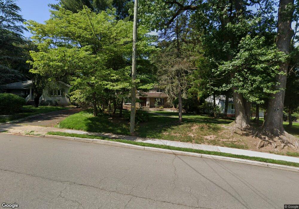
321 Grant Ave Cresskill, NJ 07626
Estimated Value: $1,337,000 - $1,742,000
Studio
--
Bath
2,981
Sq Ft
$492/Sq Ft
Est. Value
About This Home
This home is located at 321 Grant Ave, Cresskill, NJ 07626 and is currently estimated at $1,467,565, approximately $492 per square foot. 321 Grant Ave is a home located in Bergen County with nearby schools including Cresskill High School, Spring School, and Lubavitch On The Palisades.
Ownership History
Date
Name
Owned For
Owner Type
Purchase Details
Closed on
Aug 30, 2013
Sold by
Kondo David
Bought by
Mcneill James S and D'Acierno Lisa B
Current Estimated Value
Home Financials for this Owner
Home Financials are based on the most recent Mortgage that was taken out on this home.
Original Mortgage
$520,000
Outstanding Balance
$388,501
Interest Rate
4.43%
Mortgage Type
VA
Estimated Equity
$1,079,064
Purchase Details
Closed on
Jan 5, 2012
Sold by
Deutsche Bank
Bought by
Kondo David
Home Financials for this Owner
Home Financials are based on the most recent Mortgage that was taken out on this home.
Original Mortgage
$341,127
Interest Rate
4.37%
Mortgage Type
FHA
Purchase Details
Closed on
Mar 15, 2010
Sold by
Mcguire Leo P
Bought by
Deutsche Bank
Create a Home Valuation Report for This Property
The Home Valuation Report is an in-depth analysis detailing your home's value as well as a comparison with similar homes in the area
Home Values in the Area
Average Home Value in this Area
Purchase History
| Date | Buyer | Sale Price | Title Company |
|---|---|---|---|
| Mcneill James S | $795,000 | -- | |
| Kondo David | $350,000 | -- | |
| Deutsche Bank | -- | -- |
Source: Public Records
Mortgage History
| Date | Status | Borrower | Loan Amount |
|---|---|---|---|
| Open | Mcneill James S | $520,000 | |
| Previous Owner | Kondo David | $341,127 |
Source: Public Records
Tax History
| Year | Tax Paid | Tax Assessment Tax Assessment Total Assessment is a certain percentage of the fair market value that is determined by local assessors to be the total taxable value of land and additions on the property. | Land | Improvement |
|---|---|---|---|---|
| 2025 | $21,289 | $993,500 | $528,100 | $465,400 |
| 2024 | $20,629 | $925,600 | $478,300 | $447,300 |
| 2023 | $19,841 | $888,800 | $454,500 | $434,300 |
| 2022 | $19,841 | $824,300 | $408,100 | $416,200 |
| 2021 | $19,524 | $799,500 | $396,200 | $403,300 |
| 2020 | $19,101 | $785,400 | $388,100 | $397,300 |
| 2019 | $18,681 | $776,100 | $384,800 | $391,300 |
| 2018 | $12,977 | $769,700 | $381,900 | $387,800 |
| 2017 | $14,805 | $543,900 | $226,900 | $317,000 |
| 2016 | $14,364 | $543,900 | $226,900 | $317,000 |
| 2015 | $13,918 | $543,900 | $226,900 | $317,000 |
| 2014 | $13,500 | $543,900 | $226,900 | $317,000 |
Source: Public Records
Map
Nearby Homes
- 57 Merrifield Way
- 277 Jefferson Ave
- 243 Jefferson Ave
- 126 Grant Ave
- 87 Monroe Ave
- 25 Windsor Dr
- 249 Madison Ave
- 54 Harrison St
- 284 Madison Ave
- 21 Meadow St
- 36 Morningside Ave
- 15 Pleasant St
- 177 Magnolia Ave
- 25 Maple Ave
- 116 Lexington Ave
- 137 6th St
- 25 Allen St
- 109 Delong Ave
- 41 Sunset Rd
- 225 12th St
Your Personal Tour Guide
Ask me questions while you tour the home.