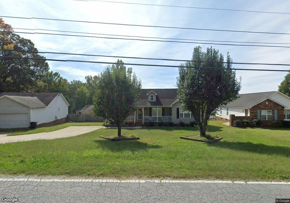
321 Jarrett Rd Thomasville, NC 27360
Estimated Value: $238,000 - $267,000
3
Beds
3
Baths
1,824
Sq Ft
$138/Sq Ft
Est. Value
About This Home
This home is located at 321 Jarrett Rd, Thomasville, NC 27360 and is currently estimated at $252,494, approximately $138 per square foot. 321 Jarrett Rd is a home located in Davidson County with nearby schools including Fair Grove Elementary School, E. Lawson Brown Middle School, and East Davidson High School.
Ownership History
Date
Name
Owned For
Owner Type
Purchase Details
Closed on
Apr 26, 2022
Sold by
Lowman Susan A
Bought by
Lowman Susan A
Current Estimated Value
Home Financials for this Owner
Home Financials are based on the most recent Mortgage that was taken out on this home.
Original Mortgage
$75,000
Outstanding Balance
$60,019
Interest Rate
3.39%
Mortgage Type
New Conventional
Estimated Equity
$192,475
Purchase Details
Closed on
Aug 4, 2004
Sold by
Secretary Of Housing And Urban
Bought by
Kimball Susan A
Purchase Details
Closed on
May 6, 2004
Sold by
West Michael A and West Nohemi V
Bought by
Secretary Of Housing And Urban
Purchase Details
Closed on
Dec 31, 2001
Sold by
Malpass Mark David and Malpass Tonia N
Bought by
West Michael A and West Nohemi
Purchase Details
Closed on
May 1, 1999
Purchase Details
Closed on
Jan 1, 1999
Create a Home Valuation Report for This Property
The Home Valuation Report is an in-depth analysis detailing your home's value as well as a comparison with similar homes in the area
Home Values in the Area
Average Home Value in this Area
Purchase History
| Date | Buyer | Sale Price | Title Company |
|---|---|---|---|
| Lowman Susan A | $500 | Visionet Systems | |
| Kimball Susan A | -- | -- | |
| Secretary Of Housing And Urban | -- | -- | |
| West Michael A | $111,000 | -- | |
| -- | $99,500 | -- | |
| -- | $32,000 | -- |
Source: Public Records
Mortgage History
| Date | Status | Borrower | Loan Amount |
|---|---|---|---|
| Open | Lowman Susan A | $75,000 |
Source: Public Records
Tax History
| Year | Tax Paid | Tax Assessment Tax Assessment Total Assessment is a certain percentage of the fair market value that is determined by local assessors to be the total taxable value of land and additions on the property. | Land | Improvement |
|---|---|---|---|---|
| 2025 | $1,633 | $142,880 | $0 | $0 |
| 2024 | $1,527 | $133,680 | $0 | $0 |
| 2023 | $1,527 | $133,680 | $0 | $0 |
| 2022 | $1,527 | $133,680 | $0 | $0 |
| 2021 | $1,527 | $133,680 | $0 | $0 |
| 2020 | $1,229 | $109,430 | $0 | $0 |
| 2019 | $1,248 | $109,430 | $0 | $0 |
| 2018 | $1,248 | $109,430 | $0 | $0 |
| 2017 | $1,248 | $109,430 | $0 | $0 |
| 2016 | $1,204 | $109,430 | $0 | $0 |
| 2015 | $1,204 | $109,430 | $0 | $0 |
| 2014 | $1,384 | $125,780 | $0 | $0 |
Source: Public Records
Map
Nearby Homes
- 323 Jarrett Rd
- 42 Harris Farm Ct
- 73 Harris Farm Ct
- 109 Fletcher's Farm Dr
- 104 Willowbrook Dr
- 1579 Lake Rd
- 128 Kendall Mill Rd
- 1109 W Holly Hill Rd
- 0 Smith Dr
- 117 Hillcrest Rd
- 119 Hillcrest Rd
- 126 Camino Dr
- 2501 Denton Rd
- 821 Fisher Ferry St
- 596 Colleen Dr
- 143 Lambeth Rd
- 707 Trotter St
- 700 English St
- 400 Jack Pine St
- 1125 Hillcrest Dr
- 319 Jarrett Rd
- 111 John Mills Ln
- 109 John Mills Ln
- 325 Jarrett Rd
- 113 John Mills Ln
- 107 John Mills Ln
- 327 Jarrett Rd
- 322 Jarrett Rd
- 105 John Mills Ln
- 112 John Mills Ln
- 108 John Mills Ln
- 110 John Mills Ln
- 329 Jarrett Rd
- 313 Jarrett Rd
- 106 John Mills Ln
- 103 John Mills Ln
- 104 John Mills Ln
- 331 Jarrett Rd
- 101 John Mills Ln
- 328 Jarrett Rd
Your Personal Tour Guide
Ask me questions while you tour the home.