321 Thomas Green Rd Roxboro, NC 27574
Estimated Value: $173,000 - $237,000
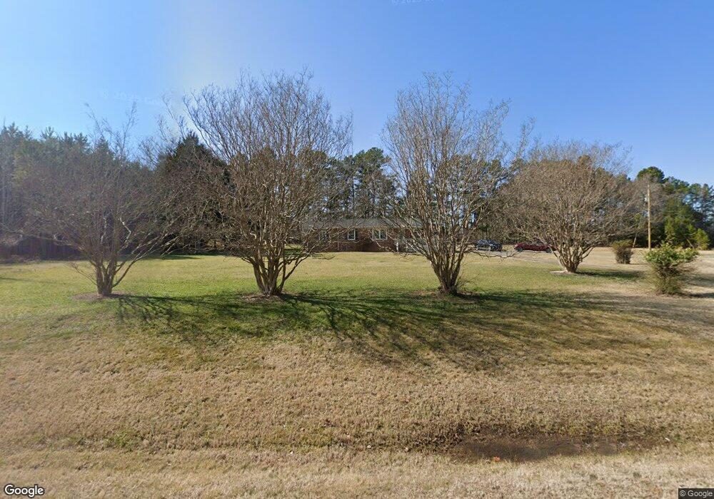
About This Home
This home is located at 321 Thomas Green Rd, Roxboro, NC 27574 and is currently estimated at $204,999, approximately $186 per square foot. 321 Thomas Green Rd is a home located in Person County with nearby schools including Person High School.
Ownership History
We collect this data history from publicly available records. To have your information removed, we recommend requesting removal directly through your county’s website.
Purchase Details
Purchase Details
Home Financials for this Owner
Home Financials are based on the most recent Mortgage that was taken out on this home.Purchase Details
Home Financials for this Owner
Home Financials are based on the most recent Mortgage that was taken out on this home.Purchase History
We collect this data history from publicly available records. To have your information removed, we recommend requesting removal directly through your county’s website.
| Date | Buyer | Sale Price | Title Company |
|---|---|---|---|
| -- | None Listed On Document | ||
| -- | None Listed On Document | ||
| $70,000 | None Available | ||
| $41,700 | -- |
Mortgage History
We collect this data history from publicly available records. To have your information removed, we recommend requesting removal directly through your county’s website.
| Date | Status | Borrower | Loan Amount |
|---|---|---|---|
| Previous Owner | $70,707 | ||
| Previous Owner | $41,700 |
Tax History
We collect this data history from publicly available records. To have your information removed, we recommend requesting removal directly through your county’s website.
| Year | Tax Paid | Tax Assessment Tax Assessment Total Assessment is a certain percentage of the fair market value that is determined by local assessors to be the total taxable value of land and additions on the property. | Land | Improvement |
|---|---|---|---|---|
| 2025 | $1,189 | $176,558 | $0 | $0 |
| 2024 | $916 | $117,848 | $0 | $0 |
| 2023 | $916 | $117,848 | $0 | $0 |
| 2022 | $913 | $117,848 | $0 | $0 |
| 2021 | $887 | $117,848 | $0 | $0 |
| 2020 | $709 | $94,080 | $0 | $0 |
| 2019 | $719 | $94,080 | $0 | $0 |
| 2018 | $674 | $94,080 | $0 | $0 |
| 2017 | $0 | $94,082 | $0 | $0 |
| 2016 | $665 | $94,082 | $0 | $0 |
| 2015 | $665 | $94,082 | $0 | $0 |
| 2014 | $665 | $94,082 | $0 | $0 |
Map
- 2080 St Paul Church Rd
- 0 Dirgie Mine Rd Unit 10162663
- 0 Dirgie Mine Rd Unit 10163337
- 1 McCoy Jeffers Dr
- 95 Smith Taylor Trail
- 8196 Raymond Royster Rd
- 1923 Lawson Chapel Church Rd
- 7545 Goshen Rd
- 313 Oakdale Dr
- 78 Carr Farms Rd
- 00-00 Gillis Rd
- 531 Pointe Mayo Dr
- 0 Pointe Mayo Dr Unit 763061
- 8514 Charlie Stovall Rd
- 401 Oakwood Ln
- 218 Fishermans Point Rd
- 6904 Virgilina Rd
- 275 Kylasu Ln
- 00 Tatum Rd
- 81 Beaver Crossing Rd
- 321 Thomas Green Rd
- 281 Thomas Green Rd
- 411 Thomas Green Rd
- 117 Vernon Hill Church Rd
- 117 Vernon Hill Church Rd
- 1211 Thomas Green Rd
- 100 Thomas Green Rd
- 305 Vernon Hill Church Rd
- 1411 Polk Huff Rd
- 1734 Polk Huff Rd
- 1806 Polk Huff Rd
- 699 Vernon Hill Church Rd
- 647 Vernon Hill Church Rd
- 1230 Lawson Adcock Rd
- 1414 Polk Huff Rd
- 2231 Polk Huff Rd
- 2185 Polk Huff Rd
- 1089 Lawson Adcock Rd
- 000 Polk Huff Rd
- 0 Polk Huff Rd Unit TR2278416
Ask me questions while you tour the home.