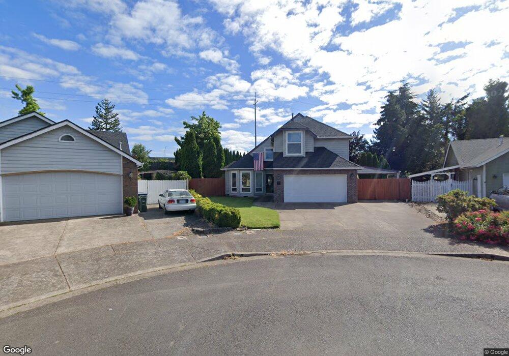
3219 Queens East St Eugene, OR 97401
Harlow NeighborhoodEstimated Value: $588,000 - $639,000
3
Beds
3
Baths
1,633
Sq Ft
$372/Sq Ft
Est. Value
About This Home
This home is located at 3219 Queens East St, Eugene, OR 97401 and is currently estimated at $606,680, approximately $371 per square foot. 3219 Queens East St is a home located in Lane County with nearby schools including Holt Elementary School, Monroe Middle School, and Sheldon High School.
Ownership History
Date
Name
Owned For
Owner Type
Purchase Details
Closed on
Apr 20, 2001
Sold by
Rochelle Mansell and Rextus Rochelle
Bought by
Carlson Marc F
Current Estimated Value
Home Financials for this Owner
Home Financials are based on the most recent Mortgage that was taken out on this home.
Original Mortgage
$135,600
Outstanding Balance
$49,615
Interest Rate
6.92%
Estimated Equity
$557,065
Create a Home Valuation Report for This Property
The Home Valuation Report is an in-depth analysis detailing your home's value as well as a comparison with similar homes in the area
Home Values in the Area
Average Home Value in this Area
Purchase History
| Date | Buyer | Sale Price | Title Company |
|---|---|---|---|
| Carlson Marc F | $169,500 | Cascade Title Co |
Source: Public Records
Mortgage History
| Date | Status | Borrower | Loan Amount |
|---|---|---|---|
| Open | Carlson Marc F | $135,600 |
Source: Public Records
Tax History
| Year | Tax Paid | Tax Assessment Tax Assessment Total Assessment is a certain percentage of the fair market value that is determined by local assessors to be the total taxable value of land and additions on the property. | Land | Improvement |
|---|---|---|---|---|
| 2025 | $6,647 | $341,144 | -- | -- |
| 2024 | $6,564 | $331,208 | -- | -- |
| 2023 | $6,564 | $321,562 | -- | -- |
| 2022 | $6,149 | $312,197 | $0 | $0 |
| 2021 | $5,776 | $303,104 | $0 | $0 |
| 2020 | $5,778 | $294,276 | $0 | $0 |
| 2019 | $5,546 | $285,705 | $0 | $0 |
| 2018 | $5,175 | $269,305 | $0 | $0 |
| 2017 | $4,888 | $269,305 | $0 | $0 |
| 2016 | $4,644 | $261,461 | $0 | $0 |
| 2015 | $4,494 | $253,846 | $0 | $0 |
| 2014 | $4,406 | $246,452 | $0 | $0 |
Source: Public Records
Map
Nearby Homes
- 1630 Ridgley Blvd
- 1564 Regency Dr
- 1491 Victorian Way
- 0 Sprig Ln Unit Lot 3
- 0 Sprig Ln Unit Lot 3 766109892
- 2956 Willakenzie Rd
- 1271 Arcadia Dr
- 3700 Babcock Ln Unit 106
- 2580 Elysium Ave
- 2577 Elysium Ave
- 825 Waverly St
- 2495 Jeppesen Acres Rd
- 2420 Willona Dr
- 2707 Dayna Ln
- 2738 Dayna Ln
- 2645 Chuckanut St
- 3530 E Game Farm Rd Unit 16
- 1090 Corydon St
- 950 Coburg Rd
- 2727 Gateway St Unit 27
- 3219 Queens St E
- 3223 Queens East St
- 3215 Queens East St
- 3215 Queens St E
- 1727 Victorian Way
- 3227 Queens East St
- 1735 Victorian Way
- 1723 Victorian Way
- 3211 Queens East St
- 3211 Queens St E
- 3209 Queens East St
- 1739 Victorian Way
- 3231 Queens East St
- 3205 Queens St E
- 3205 Queens East St
- 1719 Victorian Way
- 1743 Victorian Way
- 3191 Queens St E
- 3191 Queens East St
- 3193 Queens East St
Your Personal Tour Guide
Ask me questions while you tour the home.