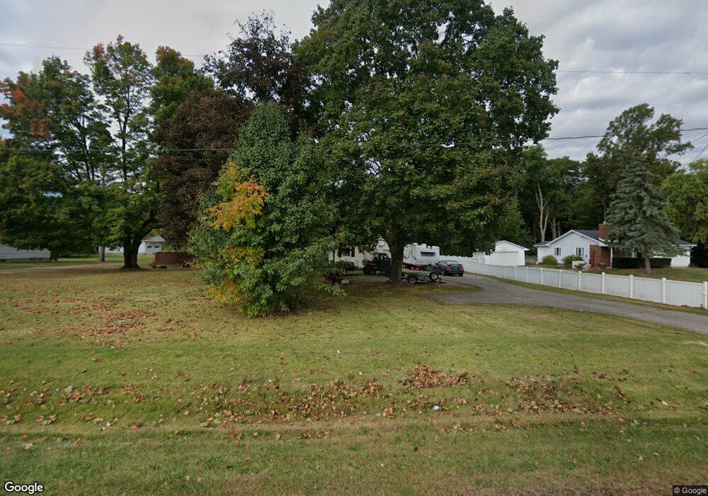
3223 Derr Rd Springfield, OH 45503
Estimated Value: $236,000 - $242,000
4
Beds
2
Baths
1,248
Sq Ft
$192/Sq Ft
Est. Value
About This Home
This home is located at 3223 Derr Rd, Springfield, OH 45503 and is currently estimated at $239,804, approximately $192 per square foot. 3223 Derr Rd is a home located in Clark County with nearby schools including Northridge Elementary School, Kenton Ridge Middle & High School, and Emmanuel Christian Academy.
Ownership History
Date
Name
Owned For
Owner Type
Purchase Details
Closed on
Oct 24, 2019
Sold by
Leeth Carl E
Bought by
Peters Jodie A
Current Estimated Value
Purchase Details
Closed on
Nov 15, 2018
Sold by
Estate Of Sarah J Leeth
Bought by
Leeth Carl E
Purchase Details
Closed on
Mar 9, 1995
Sold by
Vicki L Shook Pr Shrf
Bought by
Fed Natl Mtg Assn
Create a Home Valuation Report for This Property
The Home Valuation Report is an in-depth analysis detailing your home's value as well as a comparison with similar homes in the area
Home Values in the Area
Average Home Value in this Area
Purchase History
| Date | Buyer | Sale Price | Title Company |
|---|---|---|---|
| Peters Jodie A | -- | None Available | |
| Leeth Carl E | -- | None Available | |
| Fed Natl Mtg Assn | $72,000 | -- |
Source: Public Records
Tax History
| Year | Tax Paid | Tax Assessment Tax Assessment Total Assessment is a certain percentage of the fair market value that is determined by local assessors to be the total taxable value of land and additions on the property. | Land | Improvement |
|---|---|---|---|---|
| 2025 | $2,166 | $67,440 | $18,000 | $49,440 |
| 2024 | $2,095 | $49,460 | $17,610 | $31,850 |
| 2023 | $2,095 | $49,460 | $17,610 | $31,850 |
| 2022 | $2,103 | $49,460 | $17,610 | $31,850 |
| 2021 | $2,022 | $40,300 | $13,980 | $26,320 |
| 2020 | $2,023 | $40,300 | $13,980 | $26,320 |
| 2019 | $2,062 | $40,300 | $13,980 | $26,320 |
| 2018 | $2,077 | $38,850 | $12,700 | $26,150 |
| 2017 | $1,782 | $33,926 | $12,698 | $21,228 |
| 2016 | $1,769 | $33,926 | $12,698 | $21,228 |
| 2015 | $1,688 | $33,926 | $12,698 | $21,228 |
| 2014 | $1,687 | $33,926 | $12,698 | $21,228 |
| 2013 | $1,648 | $33,926 | $12,698 | $21,228 |
Source: Public Records
Map
Nearby Homes
- 1136 Foxboro Rd Unit 202
- 1139 Bradford Dr
- 1039 Bradford Dr Unit 42
- 3052 Brixton Dr E
- 3124 El Camino Dr
- 3135 Imperial Blvd
- 1201 Kingsgate Rd
- 732 Grandview Dr Unit 732
- 1525 Providence Ave
- 3211 Haverhill St
- 1404 Attleboro Ave
- 3631 Kingsgate Ln
- 1500 Kingsgate Rd Unit 19430
- 1502 Kingsgate Rd Unit 19432
- 1500 Kingsgate Rd
- 1502 Kingsgate Rd
- 1503 Kingsgate Rd
- 2943 Tarryton Ln
- 1505 Kingsgate Rd
- 1507 Kingsgate Rd
- 3233 Derr Rd
- 3245 Derr Rd
- 3160 Derr Rd Unit 5
- 3158 Derr Rd
- 3151 Derr Rd
- 3156 Derr Rd Unit 3
- 3232 Derr Rd
- 3154 Derr Rd Unit 2
- 3137 Derr Rd
- 3240 Derr Rd
- 3152 Derr Rd Unit 1
- 3152 Derr Rd
- 3152 Derr Rd
- 3309 Derr Rd
- 3300 Derr Rd
- 923 Abington
- 3051 Brixton Dr W
- 172 Abington Place
- 174 Abington Place
- 173 Abington Place
Your Personal Tour Guide
Ask me questions while you tour the home.