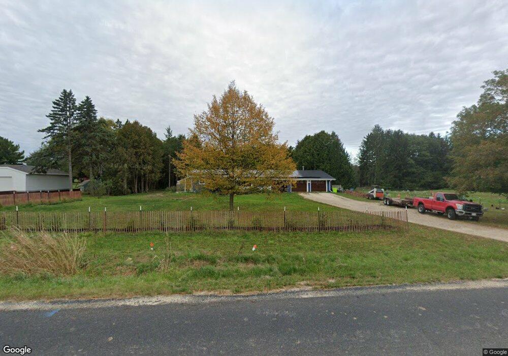
3223 Maple Rd Jackson, WI 53037
Estimated Value: $454,000
3
Beds
1
Bath
1,527
Sq Ft
$297/Sq Ft
Est. Value
About This Home
This home is located at 3223 Maple Rd, Jackson, WI 53037 and is currently priced at $454,000, approximately $297 per square foot. 3223 Maple Rd is a home located in Washington County with nearby schools including Rockfield Elementary School, Kennedy Middle School, and Germantown High School.
Ownership History
Date
Name
Owned For
Owner Type
Purchase Details
Closed on
Nov 11, 2020
Sold by
Leak Carrie M and Leak Andre D
Bought by
Hembel Andrew and Hembel Joelyn
Current Estimated Value
Home Financials for this Owner
Home Financials are based on the most recent Mortgage that was taken out on this home.
Original Mortgage
$383,150
Outstanding Balance
$340,949
Interest Rate
2.8%
Mortgage Type
New Conventional
Purchase Details
Closed on
Oct 11, 2013
Sold by
Ostrander Susan Ann and Gabriel Christine Ann
Bought by
Leak Carrie M and Leak Andre D
Home Financials for this Owner
Home Financials are based on the most recent Mortgage that was taken out on this home.
Original Mortgage
$181,600
Interest Rate
4.5%
Mortgage Type
FHA
Purchase Details
Closed on
Dec 18, 2009
Sold by
Matel S Eugene
Bought by
Matel S Sugene
Create a Home Valuation Report for This Property
The Home Valuation Report is an in-depth analysis detailing your home's value as well as a comparison with similar homes in the area
Home Values in the Area
Average Home Value in this Area
Purchase History
| Date | Buyer | Sale Price | Title Company |
|---|---|---|---|
| Hembel Andrew | $395,000 | Lakefront Title Llc | |
| Leak Carrie M | $185,000 | Abstract & Title Company | |
| Matel S Sugene | -- | None Available |
Source: Public Records
Mortgage History
| Date | Status | Borrower | Loan Amount |
|---|---|---|---|
| Open | Hembel Andrew | $383,150 | |
| Previous Owner | Leak Carrie M | $181,600 |
Source: Public Records
Tax History
| Year | Tax Paid | Tax Assessment Tax Assessment Total Assessment is a certain percentage of the fair market value that is determined by local assessors to be the total taxable value of land and additions on the property. | Land | Improvement |
|---|---|---|---|---|
| 2022 | $0 | $326,000 | $86,800 | $239,200 |
| 2021 | $3,034 | $227,700 | $79,000 | $148,700 |
| 2020 | $3,487 | $220,500 | $79,000 | $141,500 |
| 2019 | $3,200 | $220,500 | $79,000 | $141,500 |
| 2018 | $3,078 | $220,500 | $79,000 | $141,500 |
| 2017 | $2,852 | $209,600 | $75,100 | $134,500 |
| 2016 | $2,824 | $209,600 | $75,100 | $134,500 |
| 2015 | $2,911 | $209,600 | $75,100 | $134,500 |
| 2014 | $2,911 | $209,600 | $75,100 | $134,500 |
| 2013 | $3,140 | $209,600 | $75,100 | $134,500 |
Source: Public Records
Map
Nearby Homes
- 3228 Sherman Parc Cir
- N161W18890 Jared Dr Unit 251
- N156W19271 E Gate Dr
- N156W19385 E Gate Dr
- N156W19431 E Gate Dr
- W219N16270 Primrose Ct
- W219N16267 Primrose Ct
- 1829 W Mill Rd
- W197N16455 Hawthorn Cir
- W203N16198 Pin Oak Cir Unit 2
- N160W20271 Fox Creek Dr
- W203N16184 Pin Oak Cir
- N162W20330 Butternut Ln
- N166W19796 Jackson Oaks Dr
- N166W19840 Jackson Oaks Dr
- N166W19802 Jackson Oaks Dr
- N166W19890 Jackson Oaks Dr
- N166W19820 Jackson Oaks Dr
- N167W19729 Spruce St Unit 12A
- N167W19719 Spruce St Unit 11B
- 3279 Maple Rd
- 3209 Maple Rd
- 3255 Maple Rd
- 3252 Maple Rd
- 2039 Sherman Rd
- W188N15989 Maple Rd
- 2135 Sherman Rd
- N160W18900 Oakland Dr
- N160W18841 Kirsten Ct
- N160W18902 Oakland Dr
- N160W18861 Kirsten Ct
- N160W18842 Kirsten Ct
- N160W18904 Oakland Dr
- N160W18871 Kirsten Ct
- 2165 Sherman Rd
- 1997 Sherman Rd
- N160W18906 Oakland Dr
- N160W18905 Oakland Dr Unit 132
- N160W18901 Oakland Dr
- 1998 Sherman Rd
Your Personal Tour Guide
Ask me questions while you tour the home.