3232 S Laurel Dr White Cloud, MI 49349
Estimated Value: $224,000 - $529,000
Studio
--
Bath
--
Sq Ft
3,484,800
Sq Ft Lot
About This Home
This home is located at 3232 S Laurel Dr, White Cloud, MI 49349 and is currently estimated at $426,806. 3232 S Laurel Dr is a home with nearby schools including White Cloud Elementary School, White Cloud Junior High School, and White Cloud High School.
Ownership History
Date
Name
Owned For
Owner Type
Purchase Details
Closed on
Mar 1, 2012
Sold by
Sall John D and Sall Mary Jo
Bought by
Anton James and Anton Crystal
Current Estimated Value
Home Financials for this Owner
Home Financials are based on the most recent Mortgage that was taken out on this home.
Original Mortgage
$53,750
Interest Rate
4.01%
Mortgage Type
New Conventional
Purchase Details
Closed on
Jan 12, 2010
Sold by
Quist David L and Quist Vickie L
Bought by
Quist David L and Quist Vickie L
Purchase Details
Closed on
Dec 12, 2002
Sold by
Sall John D and Quist David L
Bought by
Sall John D and Quist David L
Create a Home Valuation Report for This Property
The Home Valuation Report is an in-depth analysis detailing your home's value as well as a comparison with similar homes in the area
Purchase History
| Date | Buyer | Sale Price | Title Company |
|---|---|---|---|
| Anton James | $100,000 | -- | |
| Quist David L | -- | -- | |
| Sall John D | -- | -- |
Source: Public Records
Mortgage History
| Date | Status | Borrower | Loan Amount |
|---|---|---|---|
| Closed | Anton James | $53,750 |
Source: Public Records
Tax History
| Year | Tax Paid | Tax Assessment Tax Assessment Total Assessment is a certain percentage of the fair market value that is determined by local assessors to be the total taxable value of land and additions on the property. | Land | Improvement |
|---|---|---|---|---|
| 2025 | $1,510 | $264,400 | $0 | $0 |
| 2024 | $15 | $238,700 | $0 | $0 |
| 2023 | $1,410 | $214,500 | $0 | $0 |
| 2022 | $1,342 | $179,900 | $0 | $0 |
| 2021 | $4,363 | $164,400 | $0 | $0 |
| 2020 | $4,335 | $148,300 | $0 | $0 |
| 2019 | $4,246 | $144,400 | $0 | $0 |
| 2018 | $4,154 | $133,100 | $0 | $0 |
| 2017 | $4,084 | $128,200 | $0 | $0 |
| 2016 | $3,975 | $117,300 | $0 | $0 |
| 2015 | -- | $114,200 | $0 | $0 |
| 2014 | -- | $103,300 | $0 | $0 |
Source: Public Records
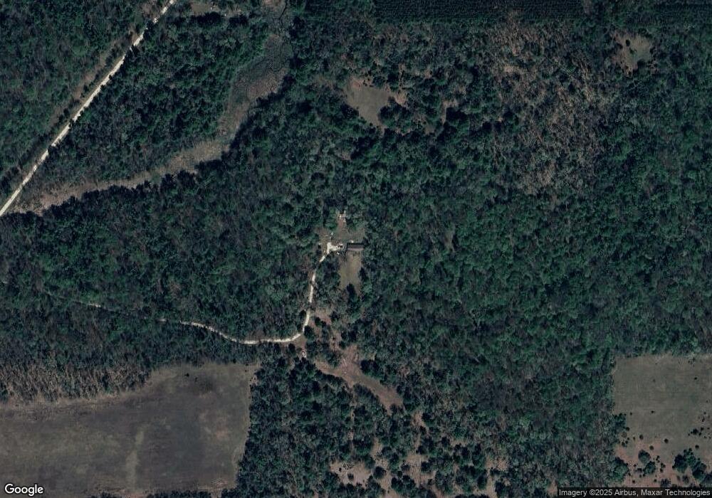
Map
Nearby Homes
- 4584 E Valeries Way St
- 4649 E 28th St
- 3696 S Locust Ave
- 4201 E 20th St
- 0 Atwater St
- 550 S Oak Ave
- 518 S Oak Ave
- 5900 E 36th St
- V/L S Teal Ln
- 4468 Teal Ln
- 6185 E Dave St
- 4820 E 12th St
- 4600 Teal Ln
- 5450 Pear Ave
- 5752 E 52nd St
- 1977 E 40th St
- 4695 Miramar Ave
- 4866 E 8th St
- 1924 E Brill Trail
- 4987 E Manitou Way Unit 37
- 3166 S Laurel Dr
- 4584 S Oak Ave
- 4740 S Oak Ave
- 4239 S Oak Ave
- 3434 S Laurel Ave
- 3434 S Laurel Dr
- 4430 E Bend Ln
- 4565 E Bend Ln
- 2985 S Laurel Dr
- 2985 S Laurel Dr
- 4568 E Bend Ln
- 2970 S Oak Ave
- 3585 S Pine Ave
- 0 Laurel Dr
- 4662 E Bend Ln
- 3540 S Laurel Dr
- 4530 Valeries Way
- 4656 E Bend Ln
- 2910 S Oak Ave
- 2827 S Laurel Dr
Your Personal Tour Guide
Ask me questions while you tour the home.