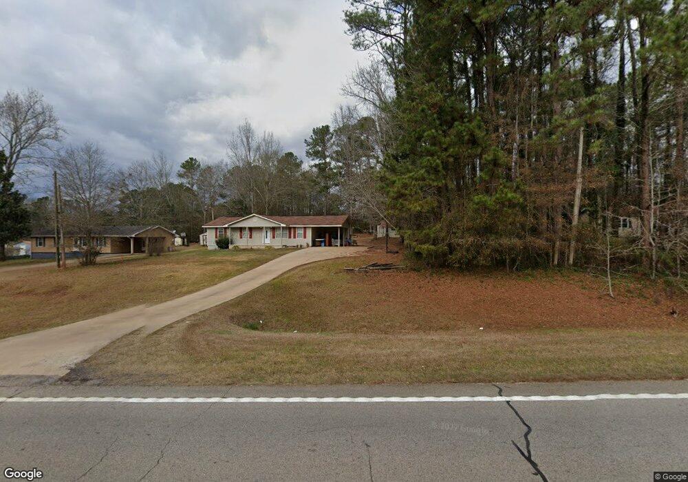
3248 Roanoke Rd Lagrange, GA 30240
Estimated Value: $139,000 - $215,000
About This Home
This home is located at 3248 Roanoke Rd, Lagrange, GA 30240 and is currently estimated at $180,078, approximately $147 per square foot. 3248 Roanoke Rd is a home located in Troup County with nearby schools including Ethel W. Kight Elementary School, Hollis Hand Elementary School, and Franklin Forest Elementary School.
Ownership History
We collect this data history from publicly available records. To have your information removed, we recommend requesting removal directly through your county’s website.
Purchase Details
Purchase Details
Purchase Details
Purchase Details
Purchase History
We collect this data history from publicly available records. To have your information removed, we recommend requesting removal directly through your county’s website.
| Date | Buyer | Sale Price | Title Company |
|---|---|---|---|
| $30,000 | -- | ||
| $20,000 | -- | ||
| -- | -- | ||
| -- | -- |
Tax History
We collect this data history from publicly available records. To have your information removed, we recommend requesting removal directly through your county’s website.
| Year | Tax Paid | Tax Assessment Tax Assessment Total Assessment is a certain percentage of the fair market value that is determined by local assessors to be the total taxable value of land and additions on the property. | Land | Improvement |
|---|---|---|---|---|
| 2025 | $1,534 | $56,256 | $5,000 | $51,256 |
| 2024 | $951 | $34,856 | $5,000 | $29,856 |
| 2023 | $767 | $28,136 | $5,000 | $23,136 |
| 2022 | $751 | $26,896 | $5,000 | $21,896 |
| 2021 | $757 | $25,104 | $3,600 | $21,504 |
| 2020 | $710 | $23,544 | $3,600 | $19,944 |
| 2019 | $709 | $23,504 | $3,600 | $19,904 |
| 2018 | $654 | $21,696 | $3,600 | $18,096 |
| 2017 | $654 | $21,696 | $3,600 | $18,096 |
| 2016 | $637 | $21,106 | $3,632 | $17,474 |
| 2015 | $638 | $21,106 | $3,632 | $17,474 |
| 2014 | $611 | $20,186 | $3,632 | $16,554 |
| 2013 | -- | $21,465 | $3,632 | $17,833 |
Map
- 108 Meadownland Trail
- LOT 3 Post Oak Dr
- 105 + - Acres On McCosh Mill Rd
- 0 Deming St Unit 10550189
- 506 Riverside Dr
- 36 Hill Rd
- 20 Hill Rd
- 300 Cheyenne Dr
- 245 Teaver Rd
- 134 N Lake Dr
- 62 Maley Rd
- 419 Fling Rd
- 37 Overbrook Dr
- 106 Mckinley Cir
- 102 Mckinley Cir
- 214 Highland Trail
- 103 Dogwood Ct
- 1017 Riverside Dr
- 82 Newton Rd
- 53 Horace Carter Rd
- 3245 Roanoke Rd
- 3279 Roanoke Rd
- 3256 Roanoke Rd
- 24 Hearn Rd
- 3228 Roanoke Rd
- 3278 Roanoke Rd
- 3208 Roanoke Rd
- 0 Hearn Rd Unit 10375201
- 77 Hearn Rd
- 3290 Roanoke Rd
- 3301 Roanoke Rd
- 99 Hearn Rd
- 91 Hearn Rd
- 29 Hearn Rd
- 3305 Roanoke Rd
- 91 Vernon Ferry Rd
- 59 Vernon Ferry Rd
- 3309 Roanoke Rd
- 131 Vernon Ferry Rd
- 3320 Roanoke Rd
Ask me questions while you tour the home.