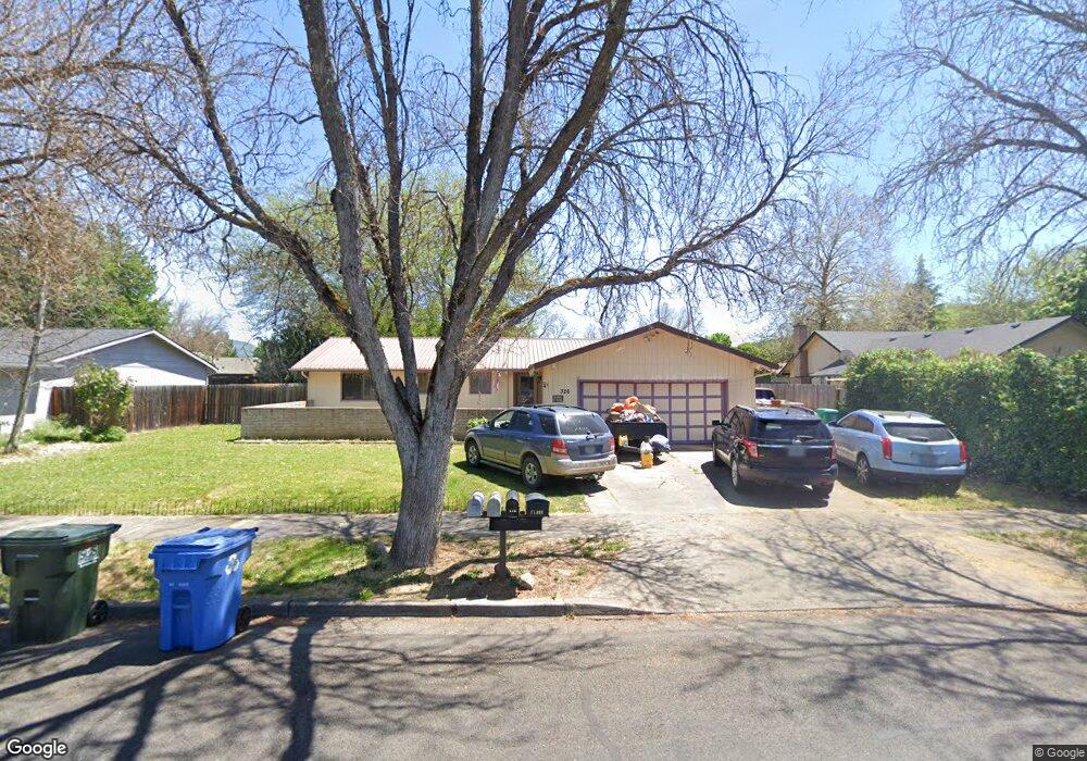
326 Teakwood Dr Eagle Point, OR 97524
Estimated Value: $371,000 - $403,000
About This Home
This home is located at 326 Teakwood Dr, Eagle Point, OR 97524 and is currently estimated at $386,132, approximately $232 per square foot. 326 Teakwood Dr is a home located in Jackson County with nearby schools including Eagle Rock Elementary School, Eagle Point Middle School, and White Mountain Middle School.
Ownership History
We collect this data history from publicly available records. To have your information removed, we recommend requesting removal directly through your county’s website.
Purchase Details
Home Financials for this Owner
Home Financials are based on the most recent Mortgage that was taken out on this home.Home Values in the Area
Average Home Value in this Area
Purchase History
We collect this data history from publicly available records. To have your information removed, we recommend requesting removal directly through your county’s website.
| Date | Buyer | Sale Price | Title Company |
|---|---|---|---|
| $124,000 | Jackson County Title |
Mortgage History
We collect this data history from publicly available records. To have your information removed, we recommend requesting removal directly through your county’s website.
| Date | Status | Borrower | Loan Amount |
|---|---|---|---|
| Previous Owner | $122,084 |
Tax History
We collect this data history from publicly available records. To have your information removed, we recommend requesting removal directly through your county’s website.
| Year | Tax Paid | Tax Assessment Tax Assessment Total Assessment is a certain percentage of the fair market value that is determined by local assessors to be the total taxable value of land and additions on the property. | Land | Improvement |
|---|---|---|---|---|
| 2026 | $2,655 | $195,160 | -- | -- |
| 2025 | $2,593 | $189,480 | $55,770 | $133,710 |
| 2024 | $2,593 | $183,970 | $54,140 | $129,830 |
| 2023 | $2,505 | $178,620 | $52,560 | $126,060 |
| 2022 | $2,437 | $178,620 | $52,560 | $126,060 |
| 2021 | $2,365 | $173,420 | $51,030 | $122,390 |
| 2020 | $2,512 | $168,370 | $49,550 | $118,820 |
| 2019 | $2,474 | $158,710 | $46,700 | $112,010 |
| 2018 | $2,426 | $154,090 | $45,340 | $108,750 |
| 2017 | $2,367 | $154,090 | $45,340 | $108,750 |
| 2016 | $2,321 | $145,260 | $42,740 | $102,520 |
| 2015 | $2,222 | $145,260 | $42,740 | $102,520 |
| 2014 | $2,158 | $136,930 | $40,280 | $96,650 |
Map
- 633 E Archwood Dr Unit 89
- 633 E Archwood Dr Unit 86
- 633 E Archwood Dr Unit 44
- 633 E Archwood Dr Unit 12
- 633 E Archwood Dr Unit 53
- 633 E Archwood Dr Unit 130
- 633 E Archwood Dr Unit 125
- 633 E Archwood Dr Unit 43
- 449 Teakwood Dr
- 460 Montclair Way
- 962 Ridgeview Dr
- 436 St Clair Way
- 1174 Highlands Dr
- 1044 Havenwood Dr
- 1017 Havenwood Dr
- 142 Onyx St
- 628 Barton Rd
- 277 Cambridge Terrace
- 278 Cambridge Terrace
- 602 Barton Rd
- 334 Teakwood Dr
- 312 Teakwood Dr
- 337 Shadow Lawn Dr
- 329 Shadow Lawn Dr
- 345 Shadow Lawn Dr
- 304 Teakwood Dr
- 317 Shadow Lawn Dr
- 346 Teakwood Dr
- 333 Teakwood Dr
- 327 Teakwood Dr
- 345 Teakwood Dr
- 319 Teakwood Dr
- 359 Shadow Lawn Dr
- 305 Shadow Lawn Dr
- 244 Teakwood Dr
- 357 Teakwood Dr
- 364 Teakwood Dr
- 303 Teakwood Dr
- 365 Shadow Lawn Dr
- 332 Shadow Lawn Dr
Ask me questions while you tour the home.