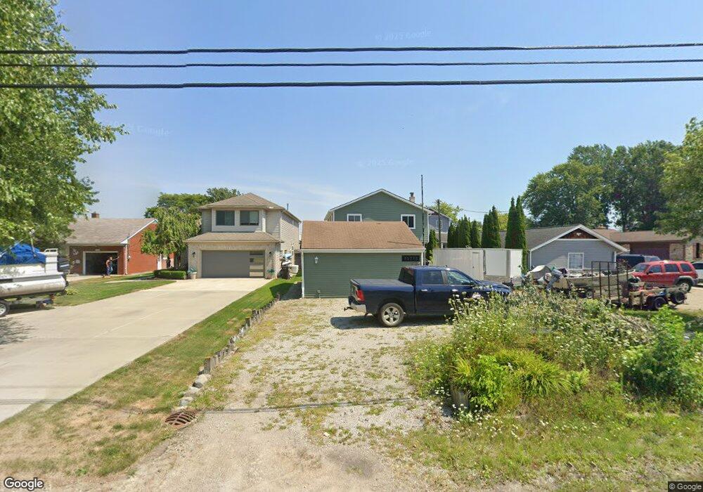
32775 Sutton Rd Chesterfield, MI 48047
Estimated Value: $246,000 - $395,000
Studio
1
Bath
1,785
Sq Ft
$184/Sq Ft
Est. Value
About This Home
This home is located at 32775 Sutton Rd, Chesterfield, MI 48047 and is currently estimated at $329,317, approximately $184 per square foot. 32775 Sutton Rd is a home with nearby schools including Dean A. Naldrett School, Anchor Bay Middle School South, and Anchor Bay High School.
Ownership History
Date
Name
Owned For
Owner Type
Purchase Details
Closed on
Aug 5, 2019
Sold by
Luellen Nicholas A
Bought by
Justa Brian
Current Estimated Value
Purchase Details
Closed on
Jun 26, 2019
Sold by
Luellen Linda R
Bought by
Luellen Nicholas Z
Purchase Details
Closed on
Jun 18, 2019
Sold by
Luellen James D
Bought by
Luellen James D and Luellen Linda R
Purchase Details
Closed on
Dec 9, 1998
Sold by
Luellen James D
Bought by
Luellen James D and Luellen Linda R
Create a Home Valuation Report for This Property
The Home Valuation Report is an in-depth analysis detailing your home's value as well as a comparison with similar homes in the area
Home Values in the Area
Average Home Value in this Area
Purchase History
| Date | Buyer | Sale Price | Title Company |
|---|---|---|---|
| Justa Brian | $155,000 | Premier Title Agency Llc | |
| Luellen Nicholas Z | -- | None Available | |
| Luellen James D | -- | Philip F Greco Title Company | |
| Luellen James D | -- | Philip F Greco Title Company |
Source: Public Records
Tax History
| Year | Tax Paid | Tax Assessment Tax Assessment Total Assessment is a certain percentage of the fair market value that is determined by local assessors to be the total taxable value of land and additions on the property. | Land | Improvement |
|---|---|---|---|---|
| 2025 | $3,540 | $157,200 | $0 | $0 |
| 2024 | $34 | $140,900 | $0 | $0 |
| 2023 | $3,265 | $129,800 | $0 | $0 |
| 2022 | $5,908 | $107,200 | $0 | $0 |
| 2021 | $5,725 | $104,700 | $0 | $0 |
| 2020 | $2,991 | $97,800 | $0 | $0 |
| 2019 | $3,641 | $93,400 | $0 | $0 |
| 2018 | $2,373 | $91,500 | $23,300 | $68,200 |
| 2017 | $2,324 | $86,350 | $23,300 | $63,050 |
| 2016 | $2,319 | $86,350 | $0 | $0 |
| 2015 | $1,078 | $82,950 | $0 | $0 |
| 2014 | $1,078 | $66,750 | $23,300 | $43,450 |
| 2012 | -- | $0 | $0 | $0 |
Source: Public Records
Map
Nearby Homes
- 49053 Jefferson Ave
- 45440 Jefferson Ave
- 33524 Meldrum St Unit 18
- 33857 Michigamme Dr
- 33878 Au Sable Dr Unit 19
- 48877 Point Lakeview St
- 48526 Jefferson Ave
- 49404 Compass Point Dr
- 50859 Nature Dr
- 48218 Harbor Dr
- 49750 Nautical Dr
- 49775 Keycove St
- 50181 Dante Ct Unit 11
- 48118 Forbes St
- 53183 (Move in ready Woodland Meadows
- 15 Harmony Rd
- 47900 Jefferson Ave
- 47816 Jefferson Ave
- 34405 Shorewood St
- 50625 Jim Dr
- 32765 Sutton Rd
- 32785 Sutton Rd
- 32745 Sutton Rd
- 32805 Sutton Rd
- 32755 Sutton Rd
- 32815 Sutton Rd
- 32754 Sutton Rd
- 32735 Sutton Rd
- 32825 Sutton Rd
- 32750 Sutton Rd
- 32730 Sutton Rd
- 32794 Sutton Rd
- 32715 Sutton Rd
- 32845 Sutton Rd
- 32810 Sutton Rd
- 32830 Sutton Rd
- 32740 Sutton Rd
- 32703 Sutton Rd
- 32710 Sutton Rd
- 32865 Sutton Rd
Your Personal Tour Guide
Ask me questions while you tour the home.