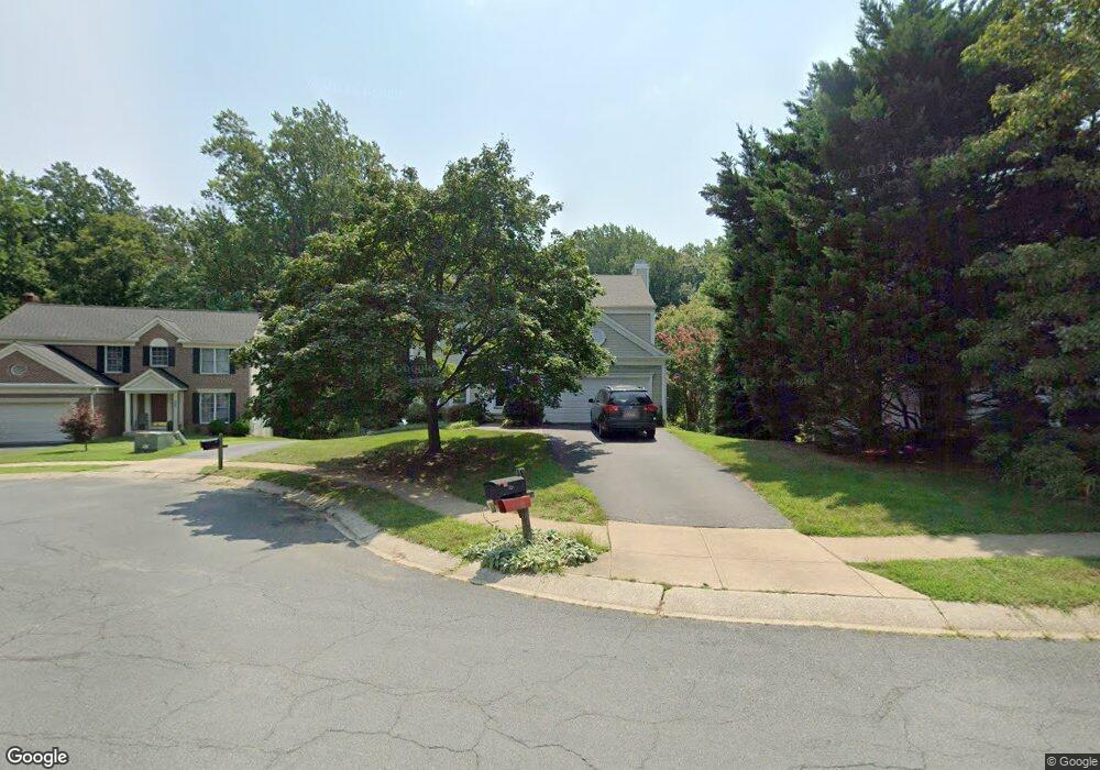
329 Rosslare Dr Arnold, MD 21012
Estimated Value: $720,000 - $920,000
4
Beds
3
Baths
3,418
Sq Ft
$228/Sq Ft
Est. Value
About This Home
This home is located at 329 Rosslare Dr, Arnold, MD 21012 and is currently estimated at $778,926, approximately $227 per square foot. 329 Rosslare Dr is a home located in Anne Arundel County with nearby schools including Broadneck Elementary School, Magothy River Middle School, and Broadneck High School.
Ownership History
Date
Name
Owned For
Owner Type
Purchase Details
Closed on
Aug 31, 2010
Sold by
Miller Arthur J
Bought by
Mayer Peter W and Mayer Allison H
Current Estimated Value
Home Financials for this Owner
Home Financials are based on the most recent Mortgage that was taken out on this home.
Original Mortgage
$380,000
Outstanding Balance
$252,323
Interest Rate
4.55%
Mortgage Type
New Conventional
Estimated Equity
$526,603
Purchase Details
Closed on
Mar 13, 2001
Sold by
Bayat Mehardad
Bought by
Miller Arthur J and Miller Diane
Purchase Details
Closed on
Aug 16, 1994
Sold by
Pulte Home Corp
Bought by
Bayat Mehrdad
Home Financials for this Owner
Home Financials are based on the most recent Mortgage that was taken out on this home.
Original Mortgage
$188,100
Interest Rate
8.52%
Create a Home Valuation Report for This Property
The Home Valuation Report is an in-depth analysis detailing your home's value as well as a comparison with similar homes in the area
Home Values in the Area
Average Home Value in this Area
Purchase History
| Date | Buyer | Sale Price | Title Company |
|---|---|---|---|
| Mayer Peter W | $480,000 | -- | |
| Miller Arthur J | $261,000 | -- | |
| Bayat Mehrdad | $198,000 | -- |
Source: Public Records
Mortgage History
| Date | Status | Borrower | Loan Amount |
|---|---|---|---|
| Open | Mayer Peter W | $380,000 | |
| Previous Owner | Bayat Mehrdad | $188,100 | |
| Closed | Miller Arthur J | -- |
Source: Public Records
Tax History
| Year | Tax Paid | Tax Assessment Tax Assessment Total Assessment is a certain percentage of the fair market value that is determined by local assessors to be the total taxable value of land and additions on the property. | Land | Improvement |
|---|---|---|---|---|
| 2025 | $5,679 | $536,667 | -- | -- |
| 2024 | $5,679 | $494,500 | $230,500 | $264,000 |
| 2023 | $5,541 | $490,400 | $0 | $0 |
| 2022 | $5,192 | $486,300 | $0 | $0 |
| 2020 | $4,976 | $473,933 | $0 | $0 |
| 2019 | $4,891 | $465,667 | $0 | $0 |
| 2018 | $4,638 | $457,400 | $172,800 | $284,600 |
| 2017 | $4,585 | $436,100 | $0 | $0 |
| 2016 | -- | $414,800 | $0 | $0 |
| 2015 | -- | $393,500 | $0 | $0 |
| 2014 | -- | $391,500 | $0 | $0 |
Source: Public Records
Map
Nearby Homes
- 1233 Birchcrest Ct
- 434 College Pkwy
- 453 Knottwood Ct
- 1108 Silverleaf Dr
- 291 Waycross Way
- 1082 Brightleaf Ct
- 1078 Brightleaf Ct
- 511 Norton Ln
- 1050 Brightleaf Dr
- 930 Whitstable Blvd
- 289 College Manor Dr
- 876 Nancy Lynn Ln
- 399 Stanford Ct
- 1247 Doubleday Dr
- 525 Loughton Ln
- 308 Clifton Ave
- 1202 Viking Dr N
- 1176 White Coral Ct
- 319 Alameda Pkwy
- 136 Collington Ct
- 327 Rosslare Dr
- 331 Rosslare Dr
- 333 Rosslare Dr
- 1010 Rosslare Ct
- 325 Rosslare Dr
- 1012 Rosslare Ct
- 335 Rosslare Dr
- 332 Rosslare Dr
- 1014 Rosslare Ct
- 338 Rosslare Dr
- 328 Rosslare Dr
- 336 Rosslare Dr
- 334 Rosslare Dr
- 1006 Rosslare Ct
- 1016 Rosslare Ct
- 330 Rosslare Dr
- 323 Rosslare Dr
- LOT 2 Gloria Harris Ct
- 0 Lot 810a Grandview Rd Unit 1004231267
- 1004 Rosslare Ct
Your Personal Tour Guide
Ask me questions while you tour the home.