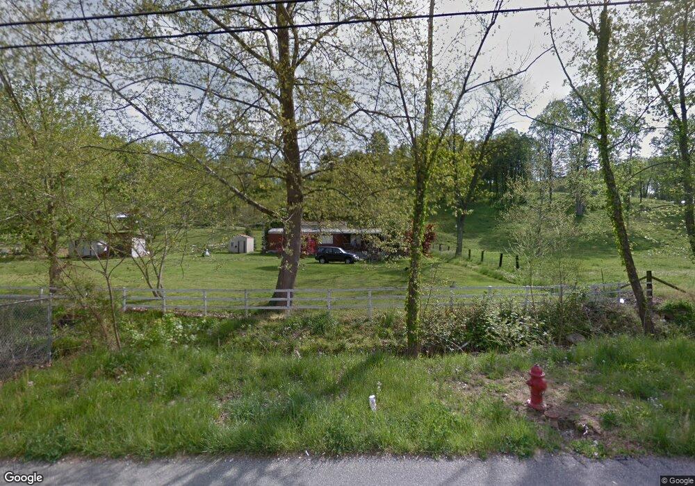
329 State Route 693 Greenup, KY 41144
Estimated Value: $107,000 - $158,000
3
Beds
1
Bath
1,508
Sq Ft
$89/Sq Ft
Est. Value
About This Home
This home is located at 329 State Route 693, Greenup, KY 41144 and is currently estimated at $134,176, approximately $88 per square foot. 329 State Route 693 is a home located in Greenup County with nearby schools including Greenup County High School.
Ownership History
Date
Name
Owned For
Owner Type
Purchase Details
Closed on
Dec 16, 2014
Sold by
Grubb G L and Grubb Katherine
Bought by
Stepp Harold E and Stepp Maureen Alisa
Current Estimated Value
Home Financials for this Owner
Home Financials are based on the most recent Mortgage that was taken out on this home.
Original Mortgage
$55,962
Outstanding Balance
$42,064
Interest Rate
3.5%
Mortgage Type
FHA
Estimated Equity
$92,112
Create a Home Valuation Report for This Property
The Home Valuation Report is an in-depth analysis detailing your home's value as well as a comparison with similar homes in the area
Purchase History
| Date | Buyer | Sale Price | Title Company |
|---|---|---|---|
| Stepp Harold E | -- | None Available |
Source: Public Records
Mortgage History
| Date | Status | Borrower | Loan Amount |
|---|---|---|---|
| Open | Stepp Harold E | $55,962 |
Source: Public Records
Tax History
| Year | Tax Paid | Tax Assessment Tax Assessment Total Assessment is a certain percentage of the fair market value that is determined by local assessors to be the total taxable value of land and additions on the property. | Land | Improvement |
|---|---|---|---|---|
| 2025 | $1,056 | $62,000 | $15,000 | $47,000 |
| 2024 | $970 | $57,000 | $15,000 | $42,000 |
| 2023 | $915 | $57,000 | $15,000 | $42,000 |
| 2022 | $887 | $57,000 | $15,000 | $42,000 |
| 2021 | $883 | $57,000 | $15,000 | $42,000 |
| 2020 | $869 | $57,000 | $15,000 | $42,000 |
| 2019 | $877 | $57,000 | $15,000 | $42,000 |
| 2018 | $898 | $57,000 | $15,000 | $42,000 |
| 2017 | $864 | $57,000 | $15,000 | $42,000 |
| 2016 | $864 | $57,000 | $15,000 | $42,000 |
| 2015 | $858 | $57,000 | $15,000 | $42,000 |
| 2014 | $75 | $41,000 | $8,000 | $33,000 |
| 2011 | -- | $41,000 | $8,000 | $33,000 |
Source: Public Records
Map
Nearby Homes
- 0 Cox St
- 612 Fulton Ave
- 608 Wurtland Ave
- 440 Greenup Ave
- 1401 S Calumet Dr
- 0 Tango Ave
- 18 Tango Ave
- 19 Tango Ave
- 3317 Forest Dale Ct
- 1524 Elmhurst Dr
- 3210 Deer Creek Ct
- 1200 Ackinson St
- 707 State Route 503
- 2860 Oakwood Ct
- 0000 U S 23
- 1106 Green Acres Dr
- 509 4th Ave
- 712 Scott St
- 989 Williams Ave
- 0 Williams Ave
- 18 Grubb Rd
- 33 Grubb Rd
- 299 State Route 693
- 265 State Route 693
- 64 Grubb Rd
- 71 Stephenson Cemetery Rd
- 68 Baptist St
- 81 Grubb Rd
- 226 State Route 693
- 225 State Route 693
- 394 State Route 693
- 95 Baptist St
- 92 Baptist St
- 215 State Route 693
- 204 State Route 693
- 128 Horsley Cemetery Rd
- 19 Kaytee Ln
- 2 Horsley Cemetery Rd
- 180 State Route 693 Unit 56323
- 483 State Route 693
Your Personal Tour Guide
Ask me questions while you tour the home.