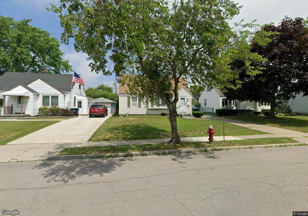
33 Coventry Rd Buffalo, NY 14217
Paramount NeighborhoodEstimated Value: $235,778 - $296,000
3
Beds
2
Baths
1,374
Sq Ft
$191/Sq Ft
Est. Value
About This Home
This home is located at 33 Coventry Rd, Buffalo, NY 14217 and is currently estimated at $262,195, approximately $190 per square foot. 33 Coventry Rd is a home located in Erie County with nearby schools including Herbert Hoover Elementary School, Herbert Hoover Middle School, and Kenmore West Senior High School.
Ownership History
Date
Name
Owned For
Owner Type
Purchase Details
Closed on
Jul 21, 2006
Sold by
Hermann Robert S and Hermann Jennifer L
Bought by
Faso John A
Current Estimated Value
Home Financials for this Owner
Home Financials are based on the most recent Mortgage that was taken out on this home.
Original Mortgage
$96,900
Outstanding Balance
$57,287
Interest Rate
6.67%
Mortgage Type
Purchase Money Mortgage
Estimated Equity
$204,908
Purchase Details
Closed on
Jan 11, 1995
Sold by
Bateson Esther M
Bought by
Hermann Jennifer L and Hermann Robert S
Create a Home Valuation Report for This Property
The Home Valuation Report is an in-depth analysis detailing your home's value as well as a comparison with similar homes in the area
Home Values in the Area
Average Home Value in this Area
Purchase History
| Date | Buyer | Sale Price | Title Company |
|---|---|---|---|
| Faso John A | $114,000 | Stewart Title Insurance Co | |
| Hermann Jennifer L | $64,400 | -- |
Source: Public Records
Mortgage History
| Date | Status | Borrower | Loan Amount |
|---|---|---|---|
| Open | Faso John A | $96,900 |
Source: Public Records
Tax History
| Year | Tax Paid | Tax Assessment Tax Assessment Total Assessment is a certain percentage of the fair market value that is determined by local assessors to be the total taxable value of land and additions on the property. | Land | Improvement |
|---|---|---|---|---|
| 2024 | $5,599 | $46,000 | $9,400 | $36,600 |
| 2023 | $5,463 | $46,000 | $9,400 | $36,600 |
| 2022 | $5,150 | $46,000 | $9,400 | $36,600 |
| 2021 | $5,131 | $46,000 | $9,400 | $36,600 |
| 2020 | $3,758 | $46,000 | $9,400 | $36,600 |
| 2019 | $3,631 | $46,000 | $9,400 | $36,600 |
| 2018 | $3,583 | $46,000 | $9,400 | $36,600 |
| 2017 | $1,655 | $46,000 | $9,400 | $36,600 |
| 2016 | $3,376 | $46,000 | $9,400 | $36,600 |
| 2015 | -- | $46,000 | $9,400 | $36,600 |
| 2014 | -- | $46,000 | $9,400 | $36,600 |
Source: Public Records
Map
Nearby Homes
- 110 Traverse Blvd
- 132 June Rd
- 46 Cleveland Dr
- 119 Orchard Dr
- 66 Cleveland Dr
- 2939 Elmwood Ave
- 154 Liston St
- 314 School St
- 298 Lowell Rd
- 177 Mcconkey Dr
- 211 Liston St
- 175 Cleveland Dr
- 290 Traverse Blvd
- 287 Westchester Blvd
- 311 Zimmerman Blvd
- 74 Eiseman Ave
- 44 Kenton Rd
- 28 Woodward Ave
- 36 Crane Place Unit 32
- 1570 Colvin Blvd
- 29 Coventry Rd
- 39 Coventry Rd
- 43 Coventry Rd
- 23 Coventry Rd
- 32 Canterbury Ln
- 26 Canterbury Ln
- 36 Canterbury Ln
- 49 Coventry Rd
- 22 Canterbury Ln
- 42 Canterbury Ln
- 34 Coventry Rd
- 30 Coventry Rd
- 40 Coventry Rd
- 16 Canterbury Ln
- 46 Canterbury Ln
- 53 Coventry Rd
- 24 Coventry Rd
- 44 Coventry Rd
- 3660 Delaware Ave
- 3680 Delaware Ave
Your Personal Tour Guide
Ask me questions while you tour the home.