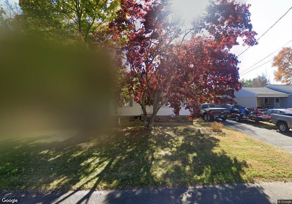
33 Dorman Rd New Britain, CT 06053
Estimated Value: $309,309 - $342,000
About This Home
This home is located at 33 Dorman Rd, New Britain, CT 06053 and is currently estimated at $330,577, approximately $220 per square foot. 33 Dorman Rd is a home located in Hartford County with nearby schools including Holmes School, Pulaski Middle School, and St. Francis of Assisi Middle School.
Ownership History
We collect this data history from publicly available records. To have your information removed, we recommend requesting removal directly through your county’s website.
Purchase Details
Home Financials for this Owner
Home Financials are based on the most recent Mortgage that was taken out on this home.Home Values in the Area
Average Home Value in this Area
Purchase History
We collect this data history from publicly available records. To have your information removed, we recommend requesting removal directly through your county’s website.
| Date | Buyer | Sale Price | Title Company |
|---|---|---|---|
| $120,000 | -- |
Mortgage History
We collect this data history from publicly available records. To have your information removed, we recommend requesting removal directly through your county’s website.
| Date | Status | Borrower | Loan Amount |
|---|---|---|---|
| Open | $81,172 | ||
| Closed | $111,000 | ||
| Closed | $118,650 |
Tax History
We collect this data history from publicly available records. To have your information removed, we recommend requesting removal directly through your county’s website.
| Year | Tax Paid | Tax Assessment Tax Assessment Total Assessment is a certain percentage of the fair market value that is determined by local assessors to be the total taxable value of land and additions on the property. | Land | Improvement |
|---|---|---|---|---|
| 2025 | $5,433 | $138,670 | $59,010 | $79,660 |
| 2024 | $5,490 | $138,670 | $59,010 | $79,660 |
| 2023 | $5,308 | $138,670 | $59,010 | $79,660 |
| 2022 | $4,723 | $95,410 | $27,160 | $68,250 |
| 2021 | $4,723 | $95,410 | $27,160 | $68,250 |
| 2020 | $4,818 | $95,410 | $27,160 | $68,250 |
| 2019 | $4,818 | $95,410 | $27,160 | $68,250 |
| 2018 | $4,818 | $95,410 | $27,160 | $68,250 |
| 2017 | $4,355 | $86,240 | $24,780 | $61,460 |
| 2016 | $4,355 | $86,240 | $24,780 | $61,460 |
| 2015 | $4,226 | $86,240 | $24,780 | $61,460 |
| 2014 | $4,226 | $86,240 | $24,780 | $61,460 |
Map
- 117 Lewis Rd
- 346 Lewis Rd
- 263 Cianci Rd
- 82 Carver St
- 244 Alexander Rd
- 7 Merigold Dr
- 191 Batterson Dr
- 42 Helen Dr
- 73 Helen Dr
- 146 Alexander Rd
- 21 Skipper St
- 143 Carroll St
- 51 Varmor Dr
- 2180 Stanley St
- 43 Westover Rd
- 31 Alexander Rd
- 40 Royal Oak Rd
- 55 Blodgett Roy Dr
- 466 Blake Rd
- 410 Farmington Ave Unit G6
Ask me questions while you tour the home.