33 High Point Commons Marlborough, CT 06447
Middle Haddam NeighborhoodEstimated Value: $538,000 - $719,000
3
Beds
3
Baths
2,700
Sq Ft
$243/Sq Ft
Est. Value
About This Home
This home is located at 33 High Point Commons, Marlborough, CT 06447 and is currently estimated at $656,389, approximately $243 per square foot. 33 High Point Commons is a home with nearby schools including Memorial School, Center Elementary School, and East Hampton Middle School.
Ownership History
Date
Name
Owned For
Owner Type
Purchase Details
Closed on
Apr 19, 1994
Sold by
Stone Elliot
Bought by
Baribault David and Baribault Melissa C
Current Estimated Value
Home Financials for this Owner
Home Financials are based on the most recent Mortgage that was taken out on this home.
Original Mortgage
$186,400
Interest Rate
4.75%
Mortgage Type
Unknown
Create a Home Valuation Report for This Property
The Home Valuation Report is an in-depth analysis detailing your home's value as well as a comparison with similar homes in the area
Home Values in the Area
Average Home Value in this Area
Purchase History
We collect this data history from publicly available records. To have your information removed, we recommend requesting removal directly through your county’s website.
| Date | Buyer | Sale Price | Title Company |
|---|---|---|---|
| Baribault David | $77,000 | -- | |
| Baribault David | $77,000 | -- |
Source: Public Records
Mortgage History
We collect this data history from publicly available records. To have your information removed, we recommend requesting removal directly through your county’s website.
| Date | Status | Borrower | Loan Amount |
|---|---|---|---|
| Closed | Baribault David | $175,000 | |
| Closed | Baribault David | $186,400 |
Source: Public Records
Tax History
| Year | Tax Paid | Tax Assessment Tax Assessment Total Assessment is a certain percentage of the fair market value that is determined by local assessors to be the total taxable value of land and additions on the property. | Land | Improvement |
|---|---|---|---|---|
| 2025 | $15,910 | $400,650 | $216,150 | $184,500 |
| 2024 | $15,241 | $400,650 | $216,150 | $184,500 |
| 2023 | $14,447 | $400,650 | $216,150 | $184,500 |
| 2022 | $13,886 | $400,640 | $216,140 | $184,500 |
| 2021 | $13,834 | $400,640 | $216,140 | $184,500 |
| 2020 | $14,822 | $447,240 | $258,400 | $188,840 |
| 2019 | $13,280 | $400,730 | $205,780 | $194,950 |
| 2018 | $12,551 | $400,730 | $205,780 | $194,950 |
| 2017 | $12,551 | $400,730 | $205,780 | $194,950 |
| 2016 | $11,797 | $400,730 | $205,780 | $194,950 |
| 2015 | $12,455 | $448,360 | $253,790 | $194,570 |
| 2014 | $10,837 | $448,360 | $253,790 | $194,570 |
Source: Public Records
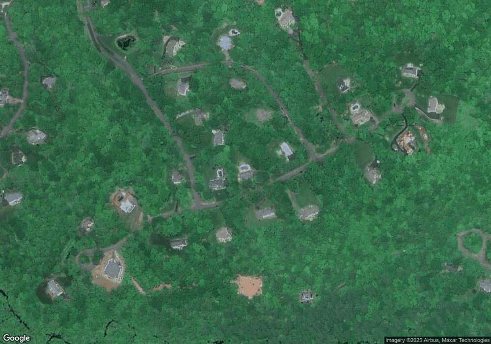
Map
Nearby Homes
- 55 Middle Haddam Rd
- 57 Middle Haddam Rd
- 58 Middle Haddam Rd
- 331 Middle Haddam Rd
- 279 Middle Haddam Rd
- 235 Middle Haddam Rd
- 73 Lake Rd
- 47 Stagecoach Run Dr
- 89 Gadpouch Rd
- 28 Cone Rd
- Lot 2 Aldens Crossing
- 8 Aldens Crossing
- 76 Maple Rd
- 10 Stonegate Dr
- 52 Jobs Gate 2
- 408 Maromas Rd
- 139 Chestnut Hill Rd
- 12 Woodhaven Dr
- 89 Culver Ln
- 75 Childs Rd
- 24 High Point Dr
- 29 High Point Commons
- 40 Fern Ln
- 7 High Point Dr
- 34 High Point Commons
- 41 Leesville Rd
- 11 High Point Dr
- 33 Fern Ln
- 40 Lena Ln Unit FERN
- 37 Lena Ln Unit FERN
- 33 Lena Ln Unit FERN
- 5 Fern Ln
- 28 Lena Ln Unit FERN
- 23 High Point Dr
- 19 High Point Dr
- 32 Oakum Dock Rd
- 15 High Point Commons
- 15 High Point Dr
- 10 Fern Ln
- 21 Lena Ln Unit FERN
Your Personal Tour Guide
Ask me questions while you tour the home.