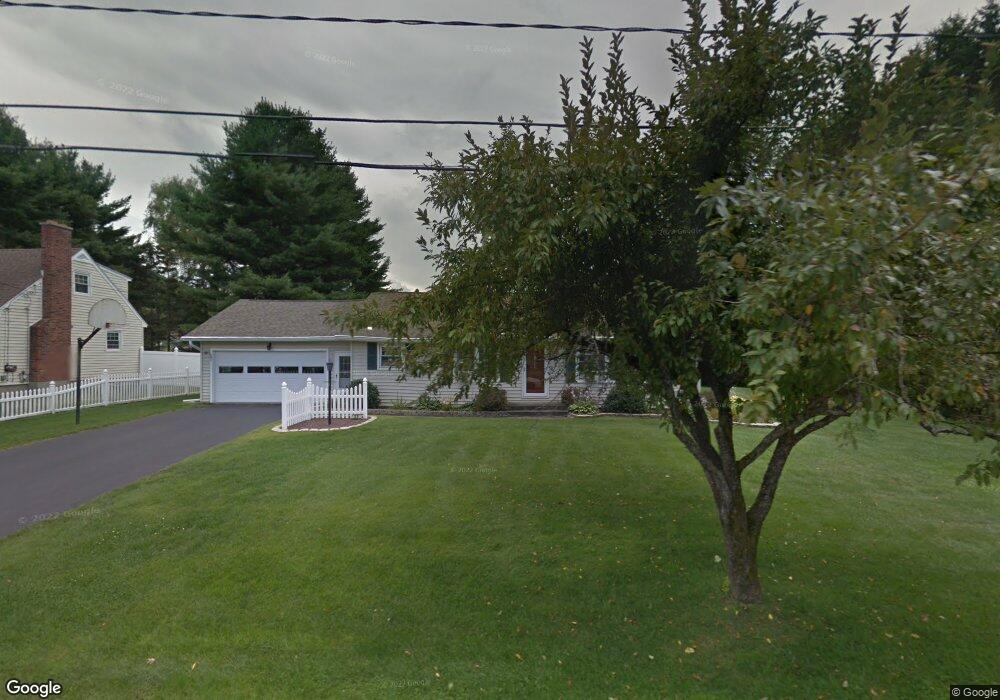
33 Joseph Dr Pittsfield, MA 01201
Estimated Value: $389,139 - $413,000
2
Beds
2
Baths
1,858
Sq Ft
$215/Sq Ft
Est. Value
About This Home
This home is located at 33 Joseph Dr, Pittsfield, MA 01201 and is currently estimated at $400,035, approximately $215 per square foot. 33 Joseph Dr is a home located in Berkshire County with nearby schools including Egremont Elementary School, Theodore Herberg Middle School, and Pittsfield High School.
Ownership History
Date
Name
Owned For
Owner Type
Purchase Details
Closed on
Jun 14, 1999
Sold by
Joseph Drive Rt and Gable Robert C
Bought by
Bolio Donald E and Bolio Jean L
Current Estimated Value
Create a Home Valuation Report for This Property
The Home Valuation Report is an in-depth analysis detailing your home's value as well as a comparison with similar homes in the area
Home Values in the Area
Average Home Value in this Area
Purchase History
| Date | Buyer | Sale Price | Title Company |
|---|---|---|---|
| Bolio Donald E | $131,000 | -- | |
| Bolio Donald E | $131,000 | -- |
Source: Public Records
Mortgage History
| Date | Status | Borrower | Loan Amount |
|---|---|---|---|
| Previous Owner | Bolio Donald E | $30,000 |
Source: Public Records
Tax History
| Year | Tax Paid | Tax Assessment Tax Assessment Total Assessment is a certain percentage of the fair market value that is determined by local assessors to be the total taxable value of land and additions on the property. | Land | Improvement |
|---|---|---|---|---|
| 2025 | $5,404 | $301,200 | $92,800 | $208,400 |
| 2024 | $5,349 | $289,900 | $92,800 | $197,100 |
| 2023 | $4,987 | $272,200 | $92,800 | $179,400 |
| 2022 | $4,660 | $251,100 | $92,800 | $158,300 |
| 2021 | $4,510 | $234,300 | $92,800 | $141,500 |
| 2020 | $4,230 | $214,600 | $77,800 | $136,800 |
| 2019 | $3,717 | $191,400 | $72,800 | $118,600 |
| 2018 | $3,644 | $182,100 | $67,800 | $114,300 |
| 2017 | $3,294 | $167,800 | $57,800 | $110,000 |
| 2016 | $3,189 | $170,000 | $57,800 | $112,200 |
| 2015 | $3,070 | $170,000 | $57,800 | $112,200 |
Source: Public Records
Map
Nearby Homes
- 612 E New Lenox Rd
- 82 Quirico Dr
- 156 E New Lenox Rd
- 93 Gravesleigh Terrace
- 103 Gravesleigh Terrace
- 35 Chapman Rd
- 83 Alfred Dr
- 500 Williams St
- 1070 Holmes Rd
- 221 Holmes Rd
- 38 Rockland Dr
- 112 Sampson Pkwy
- 57 Donna Ave
- 349 New Lenox Rd
- 10 Marlboro Dr
- 44 Strong Ave
- 874 East St
- 67 Strong Ave
- 11 Concord Pkwy
- 51 Bushey Rd
Your Personal Tour Guide
Ask me questions while you tour the home.