33 Missile Loop Swansea, MA 02777
Northeast Swansea NeighborhoodEstimated Value: $366,000 - $512,000
About This Home
This home is located at 33 Missile Loop, Swansea, MA 02777 and is currently estimated at $437,292, approximately $367 per square foot. 33 Missile Loop is a home located in Bristol County with nearby schools including Joseph Case High School, SCEC Life Academy, and Swansea Wood School.
Ownership History
We collect this data history from publicly available records. To have your information removed, we recommend requesting removal directly through your county’s website.
Purchase Details
Home Values in the Area
Average Home Value in this Area
Purchase History
We collect this data history from publicly available records. To have your information removed, we recommend requesting removal directly through your county’s website.
| Date | Buyer | Sale Price | Title Company |
|---|---|---|---|
| $99,333 | -- |
Mortgage History
We collect this data history from publicly available records. To have your information removed, we recommend requesting removal directly through your county’s website.
| Date | Status | Borrower | Loan Amount |
|---|---|---|---|
| Open | $43,962 | ||
| Open | $220,390 | ||
| Closed | $182,000 | ||
| Closed | $138,500 | ||
| Closed | $95,834 |
Tax History
We collect this data history from publicly available records. To have your information removed, we recommend requesting removal directly through your county’s website.
| Year | Tax Paid | Tax Assessment Tax Assessment Total Assessment is a certain percentage of the fair market value that is determined by local assessors to be the total taxable value of land and additions on the property. | Land | Improvement |
|---|---|---|---|---|
| 2025 | $3,695 | $310,000 | $139,000 | $171,000 |
| 2024 | $3,681 | $307,000 | $139,000 | $168,000 |
| 2023 | $3,770 | $287,100 | $112,800 | $174,300 |
| 2022 | $3,160 | $244,500 | $87,900 | $156,600 |
| 2021 | $3,160 | $202,200 | $82,300 | $119,900 |
| 2020 | $3,147 | $202,000 | $82,300 | $119,700 |
| 2019 | $2,989 | $192,700 | $69,000 | $123,700 |
| 2018 | $2,850 | $186,500 | $67,000 | $119,500 |
| 2017 | $2,532 | $190,700 | $71,200 | $119,500 |
| 2016 | $2,443 | $180,700 | $61,100 | $119,600 |
| 2015 | $2,214 | $168,600 | $61,100 | $107,500 |
| 2014 | $2,184 | $170,100 | $61,100 | $109,000 |
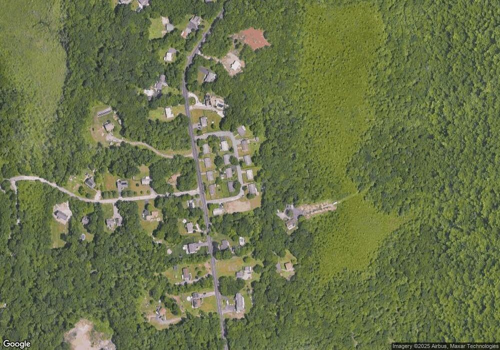
Map
- 3210 Millers Ln
- 2800 Anderson Dr
- 5 Nottingham Cir
- 65 Marvel St
- 297 Elm St
- 3085 Hunters Hill Dr
- 224 Denham Ave
- 3057 Clubhouse Dr Unit Model
- R65 Clubhouse Dr Unit 65
- 74R Club House Dr Unit 74R
- R-63 Clubhouse Dr Unit Lot R-63
- R42 Club House Dr Unit R42
- 127 Clubhouse Dr
- R64 Clubhouse Dr Unit 64
- 72 Clubhouse Dr
- 76R Club House Dr Unit 76R
- R66 Club House Dr Unit R66
- 554 Sharps Lot Rd
- 226 Olympic Rd
- 1015 Hortonville Rd
- 32 Missile Loop
- 42 Missile Loop
- 22 Missile Loop
- 1215 Sharps Lot Rd
- 1221 Sharps Lot Rd
- 1209 Sharps Lot Rd
- 0 Nike Site Rd
- 52 Missile Loop
- 52 Missile Loop
- 25 Missile Loop
- 1227 Sharps Lot Rd
- 51 Missile Loop
- 7 Missile Loop
- 59 Missile Loop
- 1222 Sharps Lot Rd
- 1214 Sharps Lot Rd
- 1206 Sharps Lot Rd
- 1189 Sharps Lot Rd
- 1255 Sharps Lot Rd
- 1199 Sharps Lot Rd
Ask me questions while you tour the home.