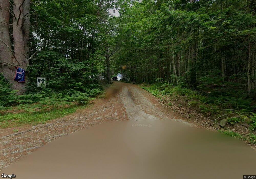
33 Morgan Dr Greene, ME 04236
Estimated Value: $360,000 - $420,000
3
Beds
4
Baths
1,568
Sq Ft
$240/Sq Ft
Est. Value
About This Home
This home is located at 33 Morgan Dr, Greene, ME 04236 and is currently estimated at $376,119, approximately $239 per square foot. 33 Morgan Dr is a home located in Androscoggin County with nearby schools including Tripp Middle School, Leavitt Area High School, and Fellowship Christian Academy.
Ownership History
Date
Name
Owned For
Owner Type
Purchase Details
Closed on
Aug 24, 2005
Sold by
Morgan Anthony E
Bought by
Stlaurent Thomas
Current Estimated Value
Create a Home Valuation Report for This Property
The Home Valuation Report is an in-depth analysis detailing your home's value as well as a comparison with similar homes in the area
Home Values in the Area
Average Home Value in this Area
Purchase History
We collect this data history from publicly available records. To have your information removed, we recommend requesting removal directly through your county’s website.
| Date | Buyer | Sale Price | Title Company |
|---|---|---|---|
| Stlaurent Thomas | -- | -- |
Source: Public Records
Tax History
| Year | Tax Paid | Tax Assessment Tax Assessment Total Assessment is a certain percentage of the fair market value that is determined by local assessors to be the total taxable value of land and additions on the property. | Land | Improvement |
|---|---|---|---|---|
| 2025 | $3,670 | $307,100 | $62,200 | $244,900 |
| 2024 | $3,939 | $202,000 | $40,900 | $161,100 |
| 2023 | $3,939 | $202,000 | $40,900 | $161,100 |
| 2022 | $3,596 | $202,000 | $40,900 | $161,100 |
| 2021 | $3,454 | $202,000 | $40,900 | $161,100 |
| 2020 | $3,454 | $202,000 | $40,900 | $161,100 |
| 2019 | $3,272 | $202,000 | $40,900 | $161,100 |
| 2018 | $3,179 | $202,000 | $40,900 | $161,100 |
| 2017 | $3,115 | $202,000 | $40,900 | $161,100 |
| 2016 | $2,937 | $202,000 | $40,900 | $161,100 |
| 2015 | $2,881 | $202,000 | $40,900 | $161,100 |
| 2014 | $2,528 | $187,000 | $40,900 | $146,100 |
| 2013 | $544 | $40,900 | $40,900 | $0 |
Source: Public Records
Map
Nearby Homes
- 951 U S Highway 202
- 105 Martins Point
- 0 U S Highway 202
- 14 Main St
- 0 Sedgley Rd
- 124 Sedgley Rd
- 41 Longley Rd
- 8 Rackley Dr
- 29 Jennifer Ave
- 27 Jennifer Ave
- Lot 2 N Hatch Hill Rd
- Lot 4 N Hatch Hill Rd
- 41 Begin Ln
- Lot 11 Coburn Rd
- Lot 9 Coburn Rd
- 70 Buzzell Ln
- 12 Key Hill Rd
- 53 Stag Hollow
- Lot 6 Berry Rd
- 253 Bull Run Rd
Your Personal Tour Guide
Ask me questions while you tour the home.