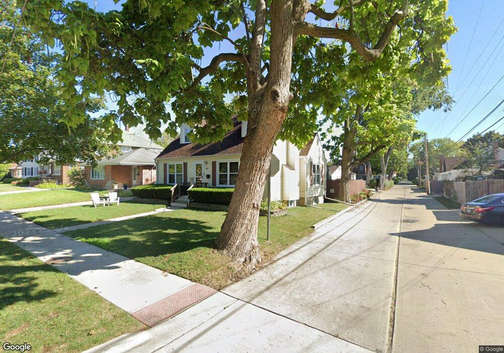
33 N 7th Ave Des Plaines, IL 60016
Estimated Value: $318,000 - $430,000
About This Home
This home is located at 33 N 7th Ave, Des Plaines, IL 60016 and is currently estimated at $387,192, approximately $308 per square foot. 33 N 7th Ave is a home located in Cook County with nearby schools including Cumberland Elementary School, Chippewa Middle School, and Maine West High School.
Ownership History
We collect this data history from publicly available records. To have your information removed, we recommend requesting removal directly through your county’s website.
Purchase Details
Home Financials for this Owner
Home Financials are based on the most recent Mortgage that was taken out on this home.Home Values in the Area
Average Home Value in this Area
Purchase History
We collect this data history from publicly available records. To have your information removed, we recommend requesting removal directly through your county’s website.
| Date | Buyer | Sale Price | Title Company |
|---|---|---|---|
| $139,000 | -- |
Mortgage History
We collect this data history from publicly available records. To have your information removed, we recommend requesting removal directly through your county’s website.
| Date | Status | Borrower | Loan Amount |
|---|---|---|---|
| Closed | $111,200 |
Tax History
We collect this data history from publicly available records. To have your information removed, we recommend requesting removal directly through your county’s website.
| Year | Tax Paid | Tax Assessment Tax Assessment Total Assessment is a certain percentage of the fair market value that is determined by local assessors to be the total taxable value of land and additions on the property. | Land | Improvement |
|---|---|---|---|---|
| 2025 | $7,563 | $37,000 | $6,185 | $30,815 |
| 2024 | $7,563 | $32,000 | $5,257 | $26,743 |
| 2023 | $7,354 | $32,000 | $5,257 | $26,743 |
| 2022 | $7,354 | $32,000 | $5,257 | $26,743 |
| 2021 | $6,046 | $23,000 | $4,329 | $18,671 |
| 2020 | $6,013 | $23,000 | $4,329 | $18,671 |
| 2019 | $6,032 | $25,843 | $4,329 | $21,514 |
| 2018 | $5,131 | $20,592 | $3,711 | $16,881 |
| 2017 | $5,992 | $23,772 | $3,711 | $20,061 |
| 2016 | $5,912 | $23,772 | $3,711 | $20,061 |
| 2015 | $5,849 | $21,970 | $3,247 | $18,723 |
| 2014 | $6,276 | $23,774 | $3,247 | $20,527 |
| 2013 | $6,102 | $23,774 | $3,247 | $20,527 |
Map
- 72 Nicholas Dr E
- 225 Stratford Rd
- 289 Oxford Rd
- 890 North Ave
- 160 E Northwest Hwy Unit I
- 910 Hollywood Ave
- 509 N 4th Ave Unit A
- 389 S Westgate Rd
- 580 N 6th Ave
- 145 Princeton St
- 390 S Western Ave Unit 402
- 390 S Western Ave Unit 605
- 390 S Western Ave Unit 201
- 250 Anita St
- 632 Polynesian Dr
- 774 Polynesian Dr
- 1244 Evergreen Ave
- 72 Marina Dr
- 671 S 5th Ave
- 309 Wisconsin Dr
Ask me questions while you tour the home.