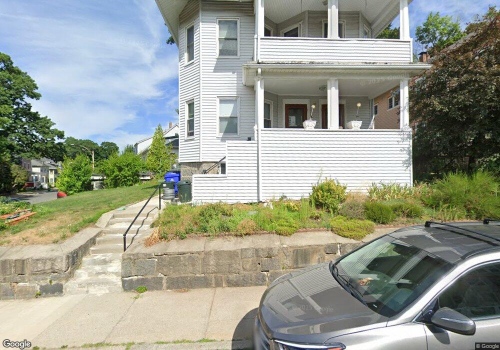
33 Pinehurst St Unit 1 Roslindale, MA 02131
Roslindale NeighborhoodEstimated Value: $474,305 - $506,000
2
Beds
1
Bath
1,022
Sq Ft
$475/Sq Ft
Est. Value
About This Home
This home is located at 33 Pinehurst St Unit 1, Roslindale, MA 02131 and is currently estimated at $485,326, approximately $474 per square foot. 33 Pinehurst St Unit 1 is a home located in Suffolk County with nearby schools including Brooke Charter School Roslindale, Holy Name Parish School, and Sacred Heart STEM School.
Ownership History
Date
Name
Owned For
Owner Type
Purchase Details
Closed on
Jul 1, 2005
Sold by
Sideropoulos Bobby
Bought by
Dilorenzo Johnienne and Dilorenzo Michael
Current Estimated Value
Home Financials for this Owner
Home Financials are based on the most recent Mortgage that was taken out on this home.
Original Mortgage
$224,000
Outstanding Balance
$117,459
Interest Rate
5.73%
Mortgage Type
Purchase Money Mortgage
Estimated Equity
$367,867
Create a Home Valuation Report for This Property
The Home Valuation Report is an in-depth analysis detailing your home's value as well as a comparison with similar homes in the area
Home Values in the Area
Average Home Value in this Area
Purchase History
| Date | Buyer | Sale Price | Title Company |
|---|---|---|---|
| Dilorenzo Johnienne | $280,000 | -- |
Source: Public Records
Mortgage History
| Date | Status | Borrower | Loan Amount |
|---|---|---|---|
| Open | Dilorenzo Johnienne | $224,000 |
Source: Public Records
Tax History
| Year | Tax Paid | Tax Assessment Tax Assessment Total Assessment is a certain percentage of the fair market value that is determined by local assessors to be the total taxable value of land and additions on the property. | Land | Improvement |
|---|---|---|---|---|
| 2025 | $4,588 | $396,200 | $0 | $396,200 |
| 2024 | $4,205 | $385,800 | $0 | $385,800 |
| 2023 | $4,062 | $378,200 | $0 | $378,200 |
| 2022 | $3,847 | $353,600 | $0 | $353,600 |
| 2021 | $3,698 | $346,600 | $0 | $346,600 |
| 2020 | $3,186 | $301,700 | $0 | $301,700 |
| 2019 | $3,029 | $287,400 | $0 | $287,400 |
| 2018 | $2,869 | $273,800 | $0 | $273,800 |
| 2017 | $2,760 | $260,600 | $0 | $260,600 |
| 2016 | $2,630 | $239,100 | $0 | $239,100 |
| 2015 | $2,780 | $229,600 | $0 | $229,600 |
| 2014 | $2,566 | $204,000 | $0 | $204,000 |
Source: Public Records
Map
Nearby Homes
- 103 Belgrade Ave Unit 2
- 46 Belgrade Ave Unit 2
- 18 Robert St Unit 4
- 18 Robert St Unit 14
- 92 Roslindale Ave
- 15 S Fairview St Unit 3
- 11 S Fairview St Unit 2R
- 7 Basto Terrace
- 6 Hayes Rd Unit 25
- 8 Kittredge St Unit 10
- 951 South St
- 15 Hillock St Unit 2
- 11 Taft Hill Terrace Unit 4
- 3 Rosemere Ct Unit 1
- 55 Metropolitan Ave
- 167 Poplar St Unit 1
- 83 Newburg St Unit 1
- 80 Aldrich St Unit 2
- 73 Westbourne St
- 222 Roslindale Ave Unit 1
- 33 Pinehurst St Unit 2
- 29 Pinehurst St
- 29 Pinehurst St Unit 1
- 49 Penfield St
- 25 Pinehurst St Unit 1
- 25 Pinehurst St
- 25 Pinehurst St Unit 2
- 25 Pinehurst St
- 30 Pinehurst St
- 30 Pinehurst St Unit 2
- 26 Pinehurst St Unit 2
- 26 Pinehurst St Unit 1
- 21 Pinehurst St
- 21 Pinehurst St Unit 1
- 94 Belgrade Ave Unit 96
- 44 Penfield St Unit 2
- 44 Penfield St Unit 1
- 55 Penfield St
- 40 Penfield St
- 50 Penfield St
Your Personal Tour Guide
Ask me questions while you tour the home.