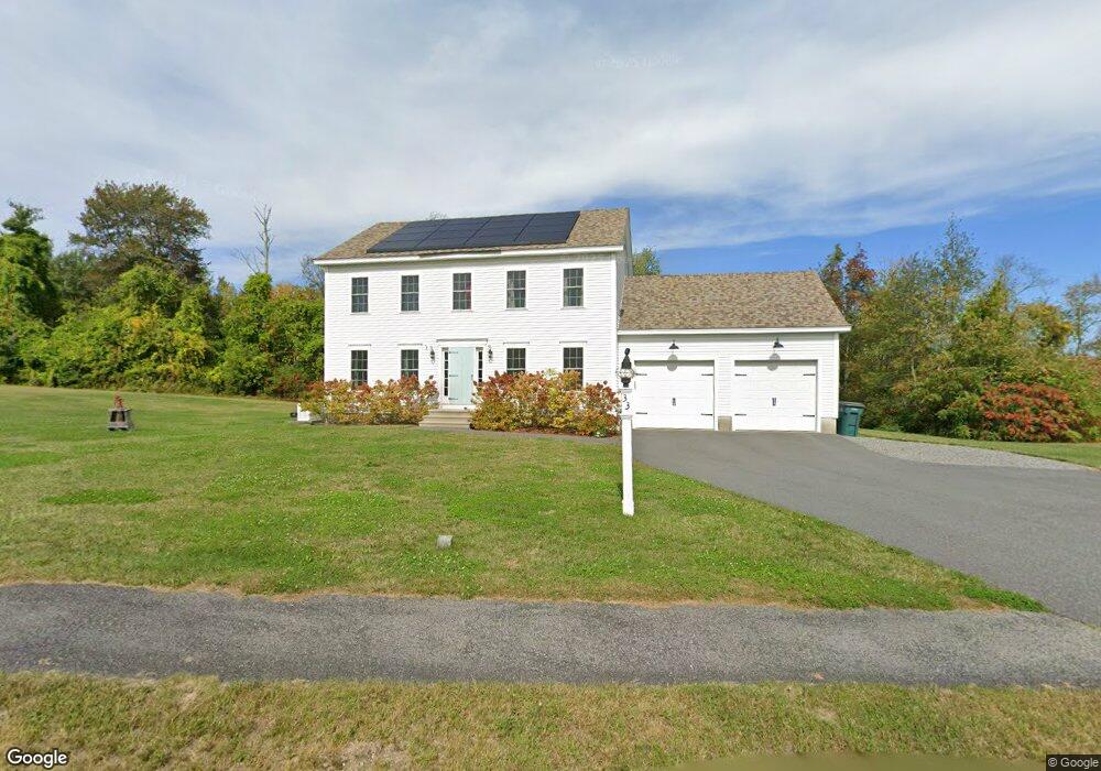
33 Runaway Brook Rd Lancaster, MA 01523
Estimated Value: $699,000 - $912,000
3
Beds
3
Baths
2,016
Sq Ft
$388/Sq Ft
Est. Value
About This Home
This home is located at 33 Runaway Brook Rd, Lancaster, MA 01523 and is currently estimated at $782,263, approximately $388 per square foot. 33 Runaway Brook Rd is a home located in Worcester County with nearby schools including Mary Rowlandson Elementary School, Luther Burbank Middle School, and Nashoba Regional High School.
Ownership History
Date
Name
Owned For
Owner Type
Purchase Details
Closed on
Jun 17, 2016
Sold by
Melanson Bros Inc
Bought by
Jones Timothy and Jones Jennifer E
Current Estimated Value
Home Financials for this Owner
Home Financials are based on the most recent Mortgage that was taken out on this home.
Original Mortgage
$414,750
Outstanding Balance
$325,122
Interest Rate
3.61%
Mortgage Type
New Conventional
Estimated Equity
$457,141
Purchase Details
Closed on
Jan 13, 2016
Sold by
Meadowbrook Orchards
Bought by
Melanson Bros Inc
Create a Home Valuation Report for This Property
The Home Valuation Report is an in-depth analysis detailing your home's value as well as a comparison with similar homes in the area
Home Values in the Area
Average Home Value in this Area
Purchase History
| Date | Buyer | Sale Price | Title Company |
|---|---|---|---|
| Jones Timothy | $445,000 | -- | |
| Melanson Bros Inc | $105,000 | -- |
Source: Public Records
Mortgage History
| Date | Status | Borrower | Loan Amount |
|---|---|---|---|
| Open | Jones Timothy | $414,750 |
Source: Public Records
Tax History
| Year | Tax Paid | Tax Assessment Tax Assessment Total Assessment is a certain percentage of the fair market value that is determined by local assessors to be the total taxable value of land and additions on the property. | Land | Improvement |
|---|---|---|---|---|
| 2025 | $10,502 | $649,900 | $170,600 | $479,300 |
| 2024 | $10,621 | $608,300 | $170,600 | $437,700 |
| 2023 | $9,769 | $568,300 | $150,600 | $417,700 |
| 2022 | $9,672 | $497,300 | $148,000 | $349,300 |
| 2021 | $9,578 | $479,400 | $148,000 | $331,400 |
| 2020 | $9,183 | $462,600 | $148,000 | $314,600 |
| 2019 | $8,702 | $440,600 | $148,000 | $292,600 |
| 2018 | $8,324 | $416,600 | $148,000 | $268,600 |
| 2016 | $39 | $2,000 | $2,000 | $0 |
| 2015 | $38 | $2,000 | $2,000 | $0 |
| 2014 | $38 | $2,000 | $2,000 | $0 |
Source: Public Records
Map
Nearby Homes
- 2 Lydia Ln
- 54 S Meadow Rd
- 20 Willow St
- 51 Rigby St
- 0 Magnolia Ave
- 11 Millie's Way Unit 11
- 229 Sterling St
- 300 Greeley St
- 25 Greeley St Unit 2
- 20 S Main St
- 11 Terrence Ave
- 55 Sterling St Unit 306
- 55 Sterling St Unit 312
- 55 Sterling St Unit 314
- 55 Sterling St Unit 212
- 355 Main St
- 540 Main St Unit 303
- 15 N Cove Rd
- 719 Main St
- 861 Main St
- 13 Runaway Brook Rd
- Lot 6 Runaway Brook Rd
- Lot 12 Runaway Brook Rd
- 31 Runaway Brook Rd
- 24 Runaway Brook Rd
- 246 Chace Hill Rd
- 22 Runaway Brook Rd
- 29 Runaway Brook Rd
- 26 Runaway Brook Rd
- 28 Runaway Brook Rd
- 25 Runaway Brook Rd
- 220 Chace Hill Rd
- 20 Runaway Brook Rd
- 221 Chace Hill Rd
- 223 Chace Hill Rd
- 88 Moffett St
- 114 Moffett St
- 134 Moffett St
- 236 Chace Hill Rd
- 60 Moffett St
Your Personal Tour Guide
Ask me questions while you tour the home.