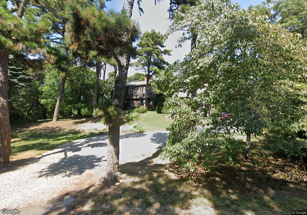
330 Champlain Rd Chatham, MA 02633
Chatham Village NeighborhoodEstimated Value: $2,546,766 - $3,131,000
4
Beds
3
Baths
2,520
Sq Ft
$1,094/Sq Ft
Est. Value
About This Home
This home is located at 330 Champlain Rd, Chatham, MA 02633 and is currently estimated at $2,756,922, approximately $1,094 per square foot. 330 Champlain Rd is a home located in Barnstable County with nearby schools including Chatham Elementary School, Harwich Elementary School, and Monomoy Regional Middle School.
Ownership History
Date
Name
Owned For
Owner Type
Purchase Details
Closed on
Feb 28, 2017
Sold by
Kermit-Norris D and Norris Deborah H
Bought by
Norris Deborah H
Current Estimated Value
Purchase Details
Closed on
Dec 15, 1986
Bought by
Norris Kermit and Deborah Norris
Create a Home Valuation Report for This Property
The Home Valuation Report is an in-depth analysis detailing your home's value as well as a comparison with similar homes in the area
Home Values in the Area
Average Home Value in this Area
Purchase History
| Date | Buyer | Sale Price | Title Company |
|---|---|---|---|
| Norris Deborah H | -- | -- | |
| Norris Kermit | $340,000 | -- |
Source: Public Records
Mortgage History
| Date | Status | Borrower | Loan Amount |
|---|---|---|---|
| Previous Owner | Norris Kermit | $195,000 | |
| Previous Owner | Norris Kermit | $190,000 |
Source: Public Records
Tax History
| Year | Tax Paid | Tax Assessment Tax Assessment Total Assessment is a certain percentage of the fair market value that is determined by local assessors to be the total taxable value of land and additions on the property. | Land | Improvement |
|---|---|---|---|---|
| 2025 | $7,141 | $2,057,800 | $1,431,700 | $626,100 |
| 2024 | $6,962 | $1,950,200 | $1,350,600 | $599,600 |
| 2023 | $6,484 | $1,671,200 | $1,125,500 | $545,700 |
| 2022 | $6,971 | $1,508,800 | $1,125,500 | $383,300 |
| 2021 | $7,469 | $1,499,800 | $1,150,900 | $348,900 |
| 2020 | $7,255 | $1,505,200 | $1,150,900 | $354,300 |
| 2019 | $6,936 | $1,430,200 | $1,075,900 | $354,300 |
| 2018 | $7,157 | $1,469,600 | $1,147,600 | $322,000 |
| 2017 | $7,169 | $1,425,200 | $1,108,000 | $317,200 |
| 2016 | $7,015 | $1,397,400 | $1,086,400 | $311,000 |
| 2015 | $5,623 | $1,126,900 | $824,700 | $302,200 |
| 2014 | $5,702 | $1,122,500 | $824,700 | $297,800 |
Source: Public Records
Map
Nearby Homes
- 15 Windy Hill Way
- 287 Cedar St
- 42 Champlain Rd
- 85 Cedar St
- 246 Stage Island Rd
- 99 Uncle Alberts Drive Extension
- 14 Pond View Ln
- 55 Christopher Harding Ln
- 346 Morris Island Rd
- 1239 Main St Unit 18
- 8 Kingsbury Way
- 20 Jessies Landing
- 3 Oyster Dr
- 22 Starfish Ln Unit 22
- 33 Crowell Rd
- 169 Tisquantum Rd
- 6 Munson Meeting Way Unit 894
- 6 Munson Meeting Way
- 1 Seastrand Way Unit 1
- 92 Indian Trail
- 0 Monomoy Cir
- 0 Sears Rd
- 1 Sears Rd
- 28 Monomoy Cir
- 13 Monomoy Cir
- 7 Battlefield Rd
- 4 Battlefield Rd
- 0 Battlefield Rd
- 64 Battlefield Rd
- 25 Monomoy Cir
- 29 Battlefield Rd
- 16 Sears Rd
- 38 Monomoy Cir
- 290 Champlain Rd
- 37 Monomoy Cir
- 75 Battlefield Rd
- 23 Sears Rd
- 25 Battlefield Rd
- 19 Battlefield Rd
- 38 Sears Rd
Your Personal Tour Guide
Ask me questions while you tour the home.