330 Robert C Byrd Dr Sophia, WV 25921
Estimated payment $606/month
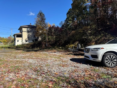
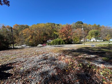
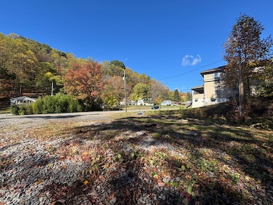
About This Lot
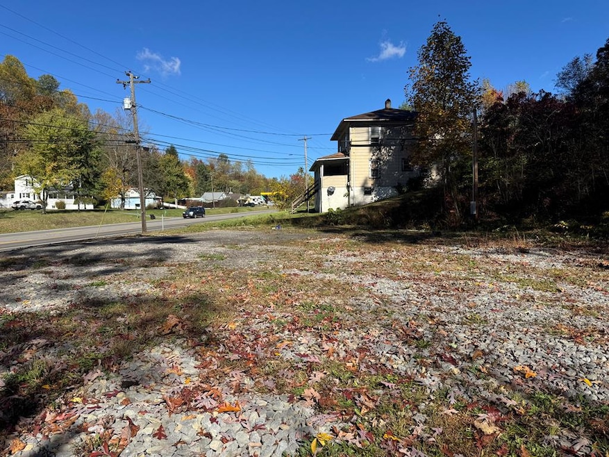
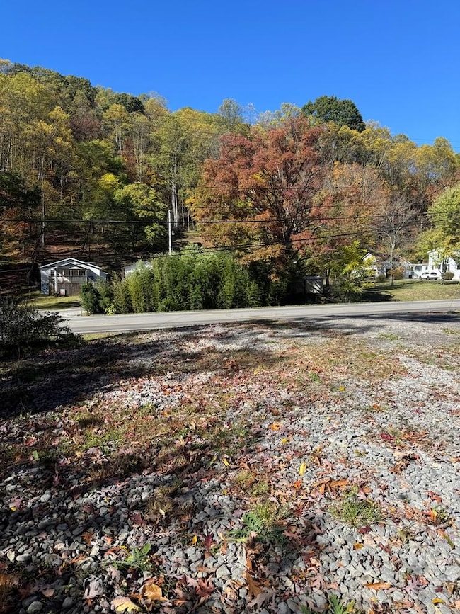
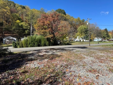
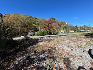
Prime Commercial Opportunity in Growing Sophia, WV Address: 330 Robert C. Byrd Drive, Sophia, West Virginia Acreage: 1.35 Acres (Commercial Zoned) Positioned right off the new expressway leading to Mullins, this 1.35-acre commercial parcel offers exceptional visibility and access in one of Sophia's most rapidly developing corridors. The location sits directly along Robert C. Byrd Drive, a high-traffic route that connects key business and residential areas — ideal for entrepreneurs looking to capitalize on the region's growth. This property is perfectly suited for a restaurant, gas station, storage units, convenience store, or food truck park — the possibilities are wide open. The site features level, usable land with utilities available, making development straightforward and efficient. A residential home currently occupies one parcel and is tenant-occupied; no showings will occur for the home itself. The property is priced with consideration to its commercial value and redevelopment potential. The surrounding area has seen significant new growth and development, including roadway expansion and new business construction along the expressway. This makes 330 Robert C. Byrd Drive an outstanding investment for future commercial use in the heart of Southern West Virginia's next wave of economic expansion. ? Highlights: 1.35 Commercial Acres Located along the new Mullins Expressway connector Excellent visibility and access for high-traffic exposure Ideal for multiple commercial uses (restaurant, gas, storage, food truck park, etc.) Income-producing reside
Listing Agent
ARMES REAL ESTATE & LAND COMPANY INC. Brokerage Email: 6812385495, armesrealestate@outlook.com License #WVB230300912 Listed on: 10/21/2025
Property Details
Property Type
- Land
Lot Details
- 1.35 Acre Lot
- Level Lot
- Property is zoned COMM
Additional Homes
- Residence on Property
Schools
- Ridgeview Elementary School
- Independence Middle School
- Independence High School
Listing and Financial Details
- Assessor Parcel Number 5/15&16
Map
Tax History
We collect this data history from publicly available records. To have your information removed, we recommend requesting removal directly through your county’s website.
| Year | Tax Paid | Tax Assessment Tax Assessment Total Assessment is a certain percentage of the fair market value that is determined by local assessors to be the total taxable value of land and additions on the property. | Land | Improvement |
|---|---|---|---|---|
| 2025 | $786 | $26,940 | $9,960 | $16,980 |
| 2024 | $728 | $25,080 | $9,960 | $15,120 |
| 2023 | $686 | $23,640 | $9,960 | $13,680 |
| 2022 | $686 | $23,640 | $9,960 | $13,680 |
Property History
We collect this data history from publicly available records. To have your information removed, we recommend requesting removal directly through your county’s website.
| Date | Event | Price | List to Sale | Price per Sq Ft |
|---|---|---|---|---|
| 02/16/2026 02/16/26 | Price Changed | $100,000 | -20.0% | -- |
| 10/21/2025 10/21/25 | For Sale | $125,000 | -- | -- |
Source: Beckley Board of REALTORS®
MLS Number: 93005
APN: 41-10- 5-0015.0000
- 208 Riffe St
- 218 Burke Ave
- 300 W Main St
- 301 1st Ave
- 206 Walker St
- 416 Summit St
- 457 Blue Room Rd
- 136 Taft St
- 110 Jefferson St
- 164 Hooper Ave
- 124 Cameron St
- 581 Pemberton Rd
- 2115 Tams Hwy
- 183 Rustic Hills Dr
- 111 Elizabeth Ct
- 523 Selden St
- 322 Combs St
- 110 Dominion Dr
- 174 Burleson Dr
- 233 Brethren Church Rd
- RT 16/ Near Sophia 330 Robert C Byrd Dr
- 301 Daniels Dr
- 147 W Main St
- 200 W Main St Unit 102
- 275 Willis Ave
- 133 Dayton St
- 117 Colton Loop
- 132 S Hill St
- 105 Virginia St
- 400 Harper Park Dr
- 231 S Heber St
- 2986 Robert C Byrd Dr
- 317 Harper Park Dr
- 107 W Virginia St
- 109 W Virginia St
- 228 Crawford St
- 125 Clyde St
- 102 Temple St
- 112 Mason St
- 110 Sunset Dr

Ask me questions while you tour the home.