3304 Peel Rd Radnor, OH 43066
Estimated Value: $541,000 - $709,000
4
Beds
3
Baths
2,894
Sq Ft
$208/Sq Ft
Est. Value
About This Home
This home is located at 3304 Peel Rd, Radnor, OH 43066 and is currently estimated at $602,620, approximately $208 per square foot. 3304 Peel Rd is a home located in Delaware County with nearby schools including Buckeye Valley High School.
Ownership History
Date
Name
Owned For
Owner Type
Purchase Details
Closed on
Jun 30, 2009
Sold by
Penry Michael A and Penry Lisa C
Bought by
Schumm Sherri L and Schumm Anthony G
Current Estimated Value
Home Financials for this Owner
Home Financials are based on the most recent Mortgage that was taken out on this home.
Original Mortgage
$183,000
Outstanding Balance
$121,305
Interest Rate
5.62%
Mortgage Type
Purchase Money Mortgage
Estimated Equity
$481,315
Purchase Details
Closed on
Mar 12, 1998
Sold by
Penry Michael A
Bought by
Penry Doris J
Create a Home Valuation Report for This Property
The Home Valuation Report is an in-depth analysis detailing your home's value as well as a comparison with similar homes in the area
Home Values in the Area
Average Home Value in this Area
Purchase History
We collect this data history from publicly available records. To have your information removed, we recommend requesting removal directly through your county’s website.
| Date | Buyer | Sale Price | Title Company |
|---|---|---|---|
| Schumm Sherri L | $229,000 | Chicago Title | |
| Penry Doris J | $6,000 | -- |
Source: Public Records
Mortgage History
We collect this data history from publicly available records. To have your information removed, we recommend requesting removal directly through your county’s website.
| Date | Status | Borrower | Loan Amount |
|---|---|---|---|
| Open | Schumm Sherri L | $183,000 |
Source: Public Records
Tax History
| Year | Tax Paid | Tax Assessment Tax Assessment Total Assessment is a certain percentage of the fair market value that is determined by local assessors to be the total taxable value of land and additions on the property. | Land | Improvement |
|---|---|---|---|---|
| 2024 | $5,436 | $147,570 | $16,630 | $130,940 |
| 2023 | $5,434 | $147,570 | $16,630 | $130,940 |
| 2022 | $4,766 | $114,740 | $16,630 | $98,110 |
| 2021 | $4,771 | $114,740 | $16,630 | $98,110 |
| 2020 | $4,792 | $114,740 | $16,630 | $98,110 |
| 2019 | $4,077 | $96,220 | $14,460 | $81,760 |
| 2018 | $4,136 | $96,220 | $14,460 | $81,760 |
| 2017 | $3,559 | $84,150 | $11,800 | $72,350 |
| 2016 | $3,228 | $84,150 | $11,800 | $72,350 |
| 2015 | $3,405 | $84,150 | $11,800 | $72,350 |
| 2014 | $3,198 | $84,150 | $11,800 | $72,350 |
| 2013 | $3,201 | $80,050 | $11,800 | $68,250 |
Source: Public Records
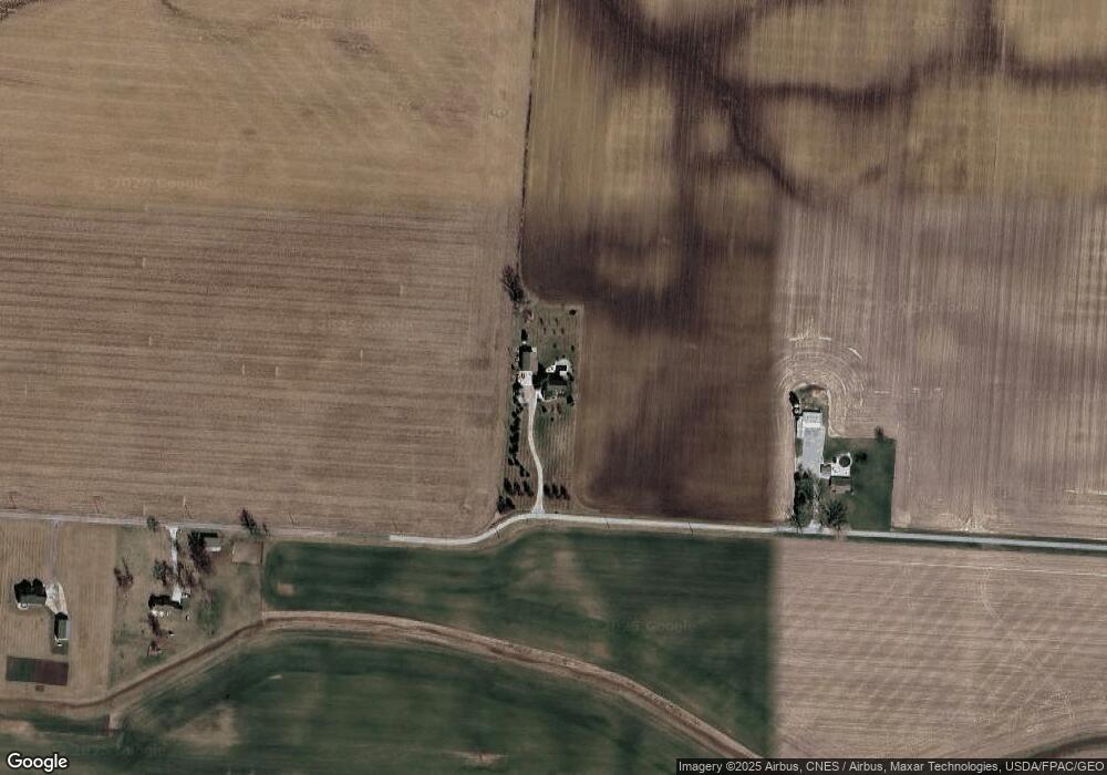
Map
Nearby Homes
- 6685 Thomas Rd
- 0 Norton Rd
- 0 Norton Rd Unit 226007710
- 6412 Troy Rd
- 6620 Troy Rd
- 4002 Radnor Rd
- 6370 Curren Rd
- 3935 N Section Line Rd
- 206 Sugar St
- 600 Park Ave
- 608 E Water St
- 7688 Ohio 257
- 7745 Ohio 257
- 7186 Prospect Dublin Rd
- 205 N Main St
- 0 Prospect-Dublin Rd
- 305 N Elm St
- 411 N East St
- 6323 Hughes Rd
- 5387 Dildine Rd
- 3136 Peel Rd
- 0 Peel Rd
- 3505 Peel Rd
- 3591 Peel Rd
- 3677 Peel Rd
- 7210 Thomas Rd
- 3765 Peel Rd
- 2820 Peel Rd
- 7018 Thomas Rd
- 6800 Thomas Rd
- 6895 Thomas Rd
- 6626 Thomas Rd
- 6757 Thomas Rd
- 6827 Thomas Rd
- 2659 Peel Rd
- 0 Thomas Rd Unit 9807260
- 0 Thomas Rd Unit 2434635
- 0 Thomas Rd Unit 2324748
- 0 Thomas Rd Unit 2100839
- 0 Thomas Rd Unit 38538
Your Personal Tour Guide
Ask me questions while you tour the home.