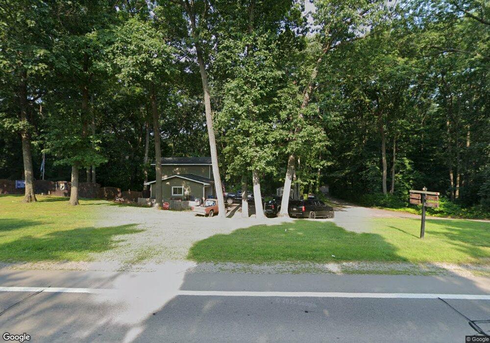
3307 Ormond Rd White Lake, MI 48383
Estimated Value: $409,093 - $509,000
3
Beds
2
Baths
2,100
Sq Ft
$222/Sq Ft
Est. Value
About This Home
This home is located at 3307 Ormond Rd, White Lake, MI 48383 and is currently estimated at $465,273, approximately $221 per square foot. 3307 Ormond Rd is a home located in Oakland County with nearby schools including Brooks Elementary School.
Ownership History
Date
Name
Owned For
Owner Type
Purchase Details
Closed on
Apr 9, 2025
Sold by
Miller Stanley
Bought by
Miller Stanley and Burnett Connie J
Current Estimated Value
Purchase Details
Closed on
Aug 24, 2011
Sold by
Miller Barbara A
Bought by
Miller Stanley W
Purchase Details
Closed on
Oct 6, 1994
Sold by
Crowther Joseph C
Bought by
Miller Stanley W
Home Financials for this Owner
Home Financials are based on the most recent Mortgage that was taken out on this home.
Original Mortgage
$124,000
Interest Rate
8.68%
Create a Home Valuation Report for This Property
The Home Valuation Report is an in-depth analysis detailing your home's value as well as a comparison with similar homes in the area
Home Values in the Area
Average Home Value in this Area
Purchase History
| Date | Buyer | Sale Price | Title Company |
|---|---|---|---|
| Miller Stanley | -- | None Listed On Document | |
| Miller Stanley | -- | None Listed On Document | |
| Miller Stanley W | -- | None Available | |
| Miller Stanley W | $155,000 | -- |
Source: Public Records
Mortgage History
| Date | Status | Borrower | Loan Amount |
|---|---|---|---|
| Previous Owner | Miller Stanley W | $124,000 |
Source: Public Records
Tax History
| Year | Tax Paid | Tax Assessment Tax Assessment Total Assessment is a certain percentage of the fair market value that is determined by local assessors to be the total taxable value of land and additions on the property. | Land | Improvement |
|---|---|---|---|---|
| 2025 | $3,353 | $170,390 | $0 | $0 |
| 2024 | $2,031 | $167,100 | $0 | $0 |
| 2023 | $1,937 | $159,400 | $0 | $0 |
| 2022 | $3,034 | $162,620 | $0 | $0 |
| 2021 | $2,840 | $131,670 | $0 | $0 |
| 2020 | $1,685 | $127,390 | $0 | $0 |
| 2019 | $2,658 | $112,990 | $0 | $0 |
| 2018 | $2,598 | $101,200 | $0 | $0 |
| 2017 | $2,506 | $101,200 | $0 | $0 |
| 2016 | $2,499 | $94,950 | $0 | $0 |
| 2015 | -- | $82,510 | $0 | $0 |
| 2014 | -- | $72,830 | $0 | $0 |
| 2011 | -- | $73,250 | $0 | $0 |
Source: Public Records
Map
Nearby Homes
- 3438 Duffield
- 3453 Ormond Rd
- 4354 Grass Lake Rd
- 2940 Steeple Hill Rd
- 3070 Steeple Hill Rd
- 4031 Hillcrest
- 4408 Hartley
- 4370 Leroy Ct
- 1820 Ridge Rd
- 4904 Lake Grove Dr
- 1929 Ridge Rd
- 0 Northfield Rd Unit 20251050921
- 1745 Ridge Rd
- 5115 Allingham Dr
- 1625 Ridge Rd
- 5275 Lake Grove Dr
- 2324 N Duck Lake Rd
- N/A Giddings Blvd
- 2861 Fishermans Dr
- 2935 Jackson Blvd
Your Personal Tour Guide
Ask me questions while you tour the home.