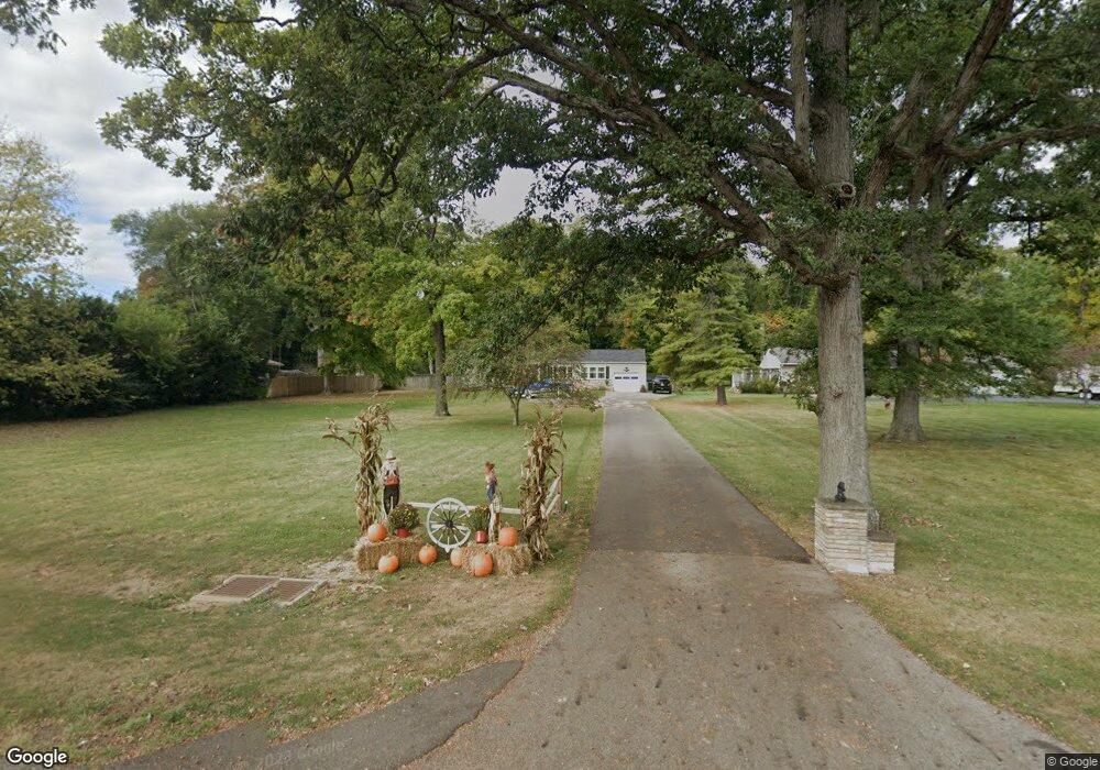
3309 Derr Rd Springfield, OH 45503
Estimated Value: $220,934 - $246,000
3
Beds
1
Bath
1,416
Sq Ft
$168/Sq Ft
Est. Value
About This Home
This home is located at 3309 Derr Rd, Springfield, OH 45503 and is currently estimated at $237,734, approximately $167 per square foot. 3309 Derr Rd is a home located in Clark County with nearby schools including Northridge Elementary School, Kenton Ridge Middle & High School, and Emmanuel Christian Academy.
Ownership History
Date
Name
Owned For
Owner Type
Purchase Details
Closed on
Nov 30, 2020
Sold by
Downey Kevin D
Bought by
Downey Kevin D and Downey Darlene M
Current Estimated Value
Purchase Details
Closed on
May 24, 2001
Sold by
Baker Martha P
Bought by
Downey Kevin P
Home Financials for this Owner
Home Financials are based on the most recent Mortgage that was taken out on this home.
Original Mortgage
$110,000
Outstanding Balance
$39,704
Interest Rate
7.07%
Estimated Equity
$198,030
Create a Home Valuation Report for This Property
The Home Valuation Report is an in-depth analysis detailing your home's value as well as a comparison with similar homes in the area
Home Values in the Area
Average Home Value in this Area
Purchase History
| Date | Buyer | Sale Price | Title Company |
|---|---|---|---|
| Downey Kevin D | -- | None Available | |
| Downey Kevin P | $145,000 | -- |
Source: Public Records
Mortgage History
| Date | Status | Borrower | Loan Amount |
|---|---|---|---|
| Open | Downey Kevin P | $110,000 |
Source: Public Records
Tax History
| Year | Tax Paid | Tax Assessment Tax Assessment Total Assessment is a certain percentage of the fair market value that is determined by local assessors to be the total taxable value of land and additions on the property. | Land | Improvement |
|---|---|---|---|---|
| 2025 | $2,155 | $67,900 | $18,000 | $49,900 |
| 2024 | $2,084 | $49,200 | $17,610 | $31,590 |
| 2023 | $2,084 | $49,200 | $17,610 | $31,590 |
| 2022 | $2,092 | $49,200 | $17,610 | $31,590 |
| 2021 | $2,149 | $42,840 | $13,980 | $28,860 |
| 2020 | $2,151 | $42,840 | $13,980 | $28,860 |
| 2019 | $2,192 | $42,840 | $13,980 | $28,860 |
| 2018 | $1,965 | $36,790 | $12,700 | $24,090 |
| 2017 | $1,685 | $33,733 | $12,698 | $21,035 |
| 2016 | $1,673 | $33,733 | $12,698 | $21,035 |
| 2015 | $1,660 | $33,733 | $12,698 | $21,035 |
| 2014 | $1,660 | $33,733 | $12,698 | $21,035 |
| 2013 | $1,622 | $33,733 | $12,698 | $21,035 |
Source: Public Records
Map
Nearby Homes
- 1136 Foxboro Rd Unit 202
- 1013 Abington Place
- 1139 Bradford Dr
- 1039 Bradford Dr Unit 42
- 3052 Brixton Dr E
- 1201 Kingsgate Rd
- 615 Villa Rd Unit B
- 3135 Imperial Blvd
- 3124 El Camino Dr
- 732 Grandview Dr Unit 732
- 3631 Kingsgate Ln
- 1500 Kingsgate Rd Unit 19430
- 1502 Kingsgate Rd Unit 19432
- 1500 Kingsgate Rd
- 1502 Kingsgate Rd
- 1525 Providence Ave
- 3211 Haverhill St
- 1503 Kingsgate Rd
- 1505 Kingsgate Rd
- 1507 Kingsgate Rd
- 3319 Derr Rd
- 3245 Derr Rd
- 3233 Derr Rd
- 3333 Derr Rd
- 3345 Derr Rd
- 3223 Derr Rd
- 3310 Derr Rd
- 3300 Derr Rd
- 3324 Derr Rd
- 3240 Derr Rd
- 3326 Derr Rd
- 3232 Derr Rd
- 3160 Derr Rd Unit 5
- 3405 Derr Rd
- 3338 Derr Rd
- 3067 Brixton Dr W
- 3071 Brixton Dr W Unit 123
- 3063 Brixton Dr W
- 3158 Derr Rd
- 3075 Brixton Dr W Unit 122
Your Personal Tour Guide
Ask me questions while you tour the home.