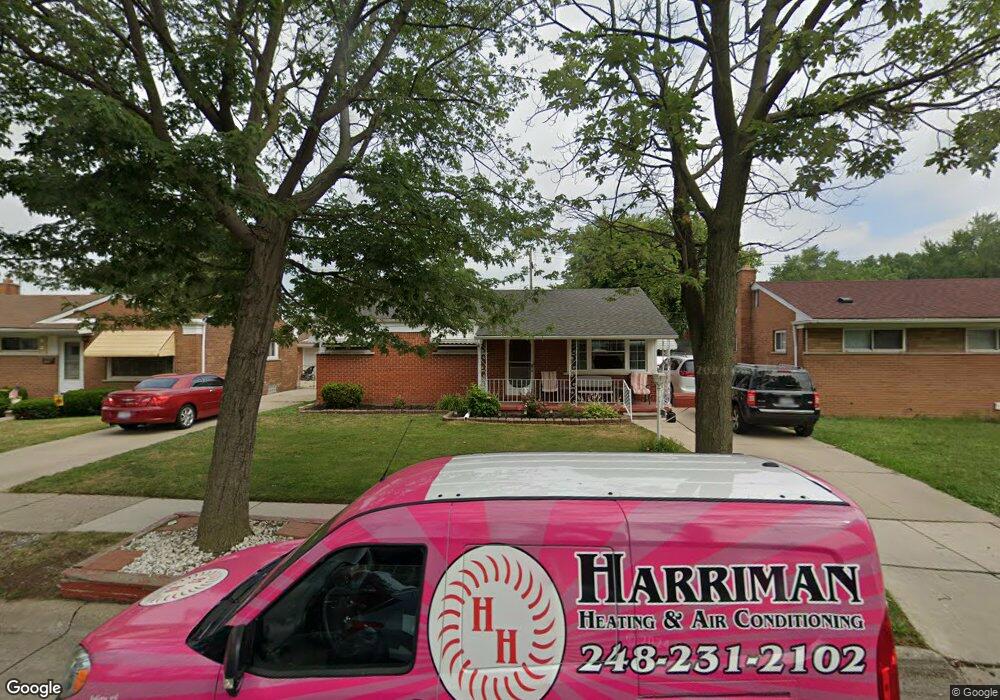
3310 Maple Dr Melvindale, MI 48122
Melvindale AreaEstimated Value: $168,792 - $245,000
About This Home
This home is located at 3310 Maple Dr, Melvindale, MI 48122 and is currently estimated at $205,698, approximately $201 per square foot. 3310 Maple Dr is a home located in Wayne County with nearby schools including Rogers Early Elementary School, Allendale Elementary School, and Julian O. Strong Middle School.
Ownership History
We collect this data history from publicly available records. To have your information removed, we recommend requesting removal directly through your county’s website.
Purchase Details
Purchase Details
Purchase Details
Home Values in the Area
Average Home Value in this Area
Purchase History
We collect this data history from publicly available records. To have your information removed, we recommend requesting removal directly through your county’s website.
| Date | Buyer | Sale Price | Title Company |
|---|---|---|---|
| $46,000 | Minnesota Title Agency | ||
| -- | None Available | ||
| -- | Minnesota Title Agency | ||
| -- | None Available |
Tax History
We collect this data history from publicly available records. To have your information removed, we recommend requesting removal directly through your county’s website.
| Year | Tax Paid | Tax Assessment Tax Assessment Total Assessment is a certain percentage of the fair market value that is determined by local assessors to be the total taxable value of land and additions on the property. | Land | Improvement |
|---|---|---|---|---|
| 2025 | $1,207 | $74,000 | $0 | $0 |
| 2024 | $1,172 | $71,300 | $0 | $0 |
| 2023 | $1,117 | $64,200 | $0 | $0 |
| 2022 | $2,171 | $58,100 | $0 | $0 |
| 2021 | $2,105 | $53,000 | $0 | $0 |
| 2020 | $2,097 | $48,400 | $0 | $0 |
| 2019 | $1,942 | $39,000 | $0 | $0 |
| 2018 | $1,161 | $31,000 | $0 | $0 |
| 2017 | $1,443 | $31,600 | $0 | $0 |
| 2016 | $1,842 | $29,200 | $0 | $0 |
| 2015 | $2,672 | $26,800 | $0 | $0 |
| 2013 | $2,610 | $26,700 | $0 | $0 |
| 2012 | $1,179 | $26,800 | $4,800 | $22,000 |
Map
- 3264 Maple Dr
- 3511 Elizabeth St
- 3526 McKitrick St
- 3595 Elizabeth St
- 17371 Flint St
- 17475 Prospect St
- 17447 Prospect St
- 17506 Reed St
- 0000 Prospect St
- 001 Prospect St
- 000 Prospect St
- 0002 Prospect St
- 17751 Ruth St
- 17358 Clarann St
- 18051 Reed St
- 17646 Wood St
- 18233 Ruth St
- 18022 Henry St
- 18039 Wood St
- 17913 Hanna St
- 3210 Patricia Dr
- 3220 Patricia Dr
- 3200 Patricia Dr
- 3335 Maple Dr
- 3323 Maple Dr
- 3230 Patricia Dr
- 3345 Maple Dr
- 3311 Maple Dr
- 3196 Patricia Dr
- 3211 Patricia Dr
- 3301 Maple Dr
- 3355 Maple Dr
- 3240 Patricia Dr
- 3291 Maple Dr
- 3231 Patricia Dr
- 3365 Maple Dr
- 17549 Park St
- 17521 Park St
- 3250 Patricia Dr
- 3241 Patricia Dr
Ask me questions while you tour the home.