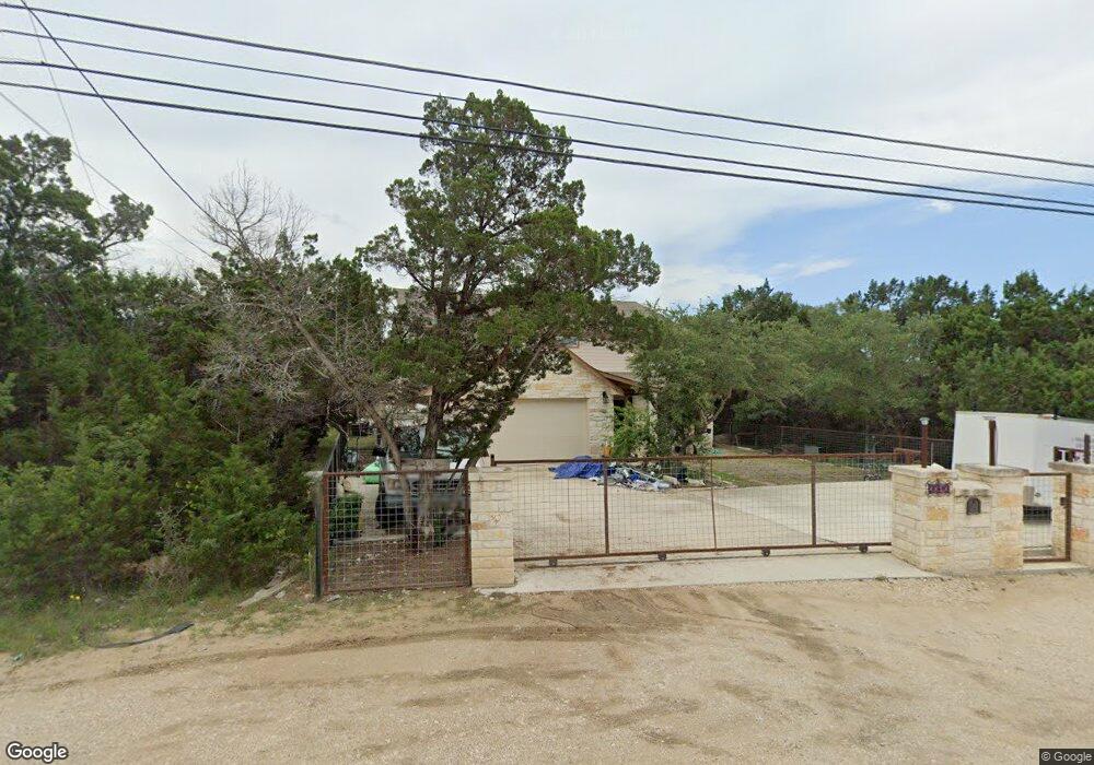
3313 Puter Creek Rd Spring Branch, TX 78070
Estimated Value: $283,000 - $465,000
Studio
--
Bath
2,925
Sq Ft
$122/Sq Ft
Est. Value
About This Home
This home is located at 3313 Puter Creek Rd, Spring Branch, TX 78070 and is currently estimated at $357,272, approximately $122 per square foot. 3313 Puter Creek Rd is a home located in Comal County with nearby schools including Rebecca Creek Elementary School, Mt Valley Middle School, and Canyon Lake High School.
Ownership History
Date
Name
Owned For
Owner Type
Purchase Details
Closed on
Sep 21, 2011
Sold by
Prope Vogel Kathryn E and Prope Kathryn E Vogel Separate
Bought by
Morales Luis R and Morales Maria Delaluz
Current Estimated Value
Purchase Details
Closed on
Oct 31, 2010
Sold by
Vogel Kathryn E and John & Kathryn Vogel Living Tr
Bought by
Prope Vogel Kathryn E and Kathryn E Vogel Separate Property Revoca
Purchase Details
Closed on
May 5, 2009
Sold by
Meyer Kathryn A and Vogel John H
Bought by
Vogel John Henry and Vogel Kathryn E
Create a Home Valuation Report for This Property
The Home Valuation Report is an in-depth analysis detailing your home's value as well as a comparison with similar homes in the area
Home Values in the Area
Average Home Value in this Area
Purchase History
| Date | Buyer | Sale Price | Title Company |
|---|---|---|---|
| Morales Luis R | -- | Atc Bulverde Branch | |
| Prope Vogel Kathryn E | -- | None Available | |
| Vogel John Henry | -- | None Available |
Source: Public Records
Tax History
| Year | Tax Paid | Tax Assessment Tax Assessment Total Assessment is a certain percentage of the fair market value that is determined by local assessors to be the total taxable value of land and additions on the property. | Land | Improvement |
|---|---|---|---|---|
| 2025 | $1,559 | $343,170 | $27,190 | $315,980 |
| 2024 | $1,559 | $337,530 | $27,190 | $310,340 |
| 2023 | $1,559 | $312,737 | $0 | $0 |
| 2022 | $2,936 | $284,306 | -- | -- |
| 2021 | $4,604 | $258,460 | $8,420 | $250,040 |
| 2020 | $4,735 | $255,540 | $8,420 | $247,120 |
| 2019 | $5,032 | $275,840 | $3,790 | $272,050 |
| 2018 | $4,563 | $241,040 | $3,790 | $237,250 |
| 2017 | $3,949 | $210,260 | $3,790 | $206,470 |
| 2016 | $2,440 | $129,900 | $3,030 | $126,870 |
| 2015 | $119 | $54,460 | $3,030 | $51,430 |
| 2014 | $119 | $6,340 | $3,030 | $3,310 |
Source: Public Records
Map
Nearby Homes
- 419 Thunderhead Dr
- 2057 Indian Hills Dr
- 2051 Indian Hills Dr
- 142 Thunderhead Dr
- 324 Weatherby Dr
- 1103 Martin Gale Trail
- 926 High Dr
- 1501 Tee Pee Dr
- 216 Remington Rd
- 499 Lakeway
- 0 Western Skies Dr Unit 1940431
- 247 Remington Rd
- 968 High Dr
- 833 High Dr
- 1290 Tee Pee Dr
- 5043 Apache Moon
- 1146 Zane Grey Ln
- 13970 US Highway 281 N
- Unincorporated Community
- 2647 Western Skies Dr
- 456 Thunderhead St
- 444 Thunderhead Dr
- 122 Tom Lea Dr
- 3419 Puter Creek Rd
- 3300 Puter Creek Rd
- 3330 Puter Creek Rd
- 431 Thunderhead St
- 3418 Puter Creek Rd
- 212 Tom Lea Dr
- 226 Tom Lea Dr
- 150 Winchester Rd
- 3500 Puter Creek Rd
- 456 Will Rogers Dr
- 3520 Puter Creek Rd
- 395 Thunderhead St
- 136 Winchester Rd
- 408 Will Rogers Dr
- 1558 Western Skies Dr
- 3230 Puter Creek Rd
Your Personal Tour Guide
Ask me questions while you tour the home.