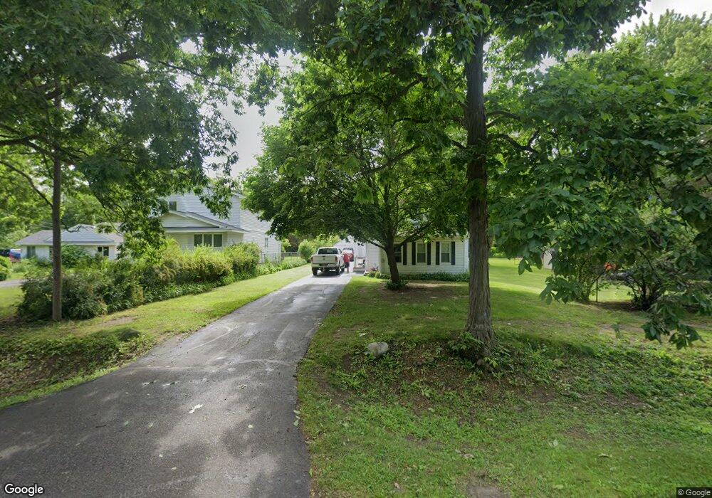
3317 N Center Rd Flint, MI 48506
Northeast Flint NeighborhoodEstimated Value: $64,000 - $107,000
Studio
--
Bath
896
Sq Ft
$94/Sq Ft
Est. Value
About This Home
This home is located at 3317 N Center Rd, Flint, MI 48506 and is currently estimated at $84,270, approximately $94 per square foot. 3317 N Center Rd is a home with nearby schools including Weston Elementary School, Kate Dowdall Elementary School, and Leota Fiedler Elementary School.
Ownership History
Date
Name
Owned For
Owner Type
Purchase Details
Closed on
Sep 22, 2006
Sold by
Hayes Nancy and Hoover Nancy
Bought by
Hoover Larry
Current Estimated Value
Purchase Details
Closed on
Mar 29, 2005
Sold by
Hoover Larry D
Bought by
Hoover Larry D and Hoover Nancy C
Purchase Details
Closed on
Mar 24, 2000
Sold by
Johnson Jerry
Bought by
Hoover Larry
Create a Home Valuation Report for This Property
The Home Valuation Report is an in-depth analysis detailing your home's value as well as a comparison with similar homes in the area
Home Values in the Area
Average Home Value in this Area
Purchase History
| Date | Buyer | Sale Price | Title Company |
|---|---|---|---|
| Hoover Larry | -- | None Available | |
| Hoover Larry D | -- | -- | |
| Hoover Larry | $47,000 | Guaranty Title Company |
Source: Public Records
Tax History
| Year | Tax Paid | Tax Assessment Tax Assessment Total Assessment is a certain percentage of the fair market value that is determined by local assessors to be the total taxable value of land and additions on the property. | Land | Improvement |
|---|---|---|---|---|
| 2025 | $1,130 | $38,900 | $0 | $0 |
| 2024 | $286 | $38,700 | $0 | $0 |
| 2023 | $273 | $35,000 | $0 | $0 |
| 2022 | $923 | $28,500 | $0 | $0 |
| 2021 | $915 | $25,700 | $0 | $0 |
| 2020 | $250 | $23,600 | $0 | $0 |
| 2019 | $246 | $21,600 | $0 | $0 |
| 2018 | $872 | $21,200 | $0 | $0 |
| 2017 | $838 | $21,300 | $0 | $0 |
| 2016 | $832 | $21,200 | $0 | $0 |
| 2015 | $679 | $20,700 | $0 | $0 |
| 2014 | $227 | $19,700 | $0 | $0 |
| 2012 | -- | $19,100 | $19,100 | $0 |
Source: Public Records
Map
Nearby Homes
- 3291 Drexel Ave
- 3456 E Pierson Rd
- 00 Richfield Rd
- 4231 Sugar Maple Run
- 4213 Sugar Maple Run
- 4207 Sugar Maple Run
- 4201 Sugar Maple Run Unit 2
- 4226 Sugar Maple Run Unit 34
- 4255 Sugar Maple Run Unit 11
- 4101 Sugar Maple Run Unit 1
- 4220 Sugar Maple Run Unit 33
- 4214 Sugar Maple Run Unit 32
- 4261 Sugar Maple Run Unit 12
- 4208 Sugar Maple Run Unit 31
- 4202 Sugar Maple Run Unit 30
- 4267 Sugar Maple Run Unit 13
- 4258 Sugar Maple Run Unit 35
- 4402 Maple Leaf Trail Unit 29
- 4273 Sugar Maple Run Unit 14
- 4225 Fairway View Unit 37
- 3327 N Center Rd
- 3307 N Center Rd
- 3297 N Center Rd
- 3333 N Center Rd
- 3291 N Center Rd
- 3285 N Center Rd
- 3349 N Center Rd
- 3279 N Center Rd
- 34131 Benmark Place
- 34133 Benmark Place
- 3357 N Center Rd
- 34135 Benmark Place
- 3275 Center Rd
- 34375 Benmark Place
- 34374 Benmark Place
- 34373 Benmark Place
- 34372 Benmark Place
- 34371 Benmark Place
- 34134 Benmark Place
- 34132 Benmark Place
Your Personal Tour Guide
Ask me questions while you tour the home.