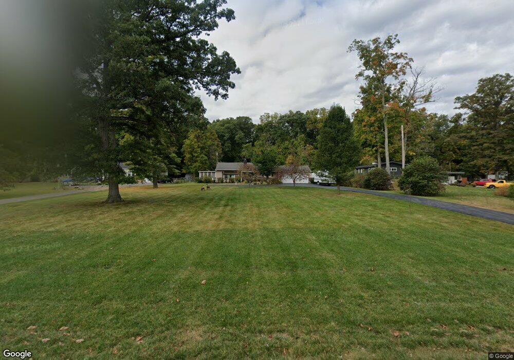
3319 Derr Rd Springfield, OH 45503
Estimated Value: $223,000 - $253,000
2
Beds
2
Baths
1,312
Sq Ft
$183/Sq Ft
Est. Value
About This Home
This home is located at 3319 Derr Rd, Springfield, OH 45503 and is currently estimated at $240,239, approximately $183 per square foot. 3319 Derr Rd is a home located in Clark County with nearby schools including Northridge Elementary School, Kenton Ridge Middle & High School, and Emmanuel Christian Academy.
Ownership History
Date
Name
Owned For
Owner Type
Purchase Details
Closed on
Sep 21, 2004
Sold by
Beekman Dr Lanny E
Bought by
Miner Scott A
Current Estimated Value
Home Financials for this Owner
Home Financials are based on the most recent Mortgage that was taken out on this home.
Original Mortgage
$90,400
Outstanding Balance
$44,043
Interest Rate
5.95%
Mortgage Type
New Conventional
Estimated Equity
$196,196
Create a Home Valuation Report for This Property
The Home Valuation Report is an in-depth analysis detailing your home's value as well as a comparison with similar homes in the area
Home Values in the Area
Average Home Value in this Area
Purchase History
| Date | Buyer | Sale Price | Title Company |
|---|---|---|---|
| Miner Scott A | $113,000 | -- |
Source: Public Records
Mortgage History
| Date | Status | Borrower | Loan Amount |
|---|---|---|---|
| Open | Miner Scott A | $90,400 | |
| Closed | Miner Scott A | $11,300 |
Source: Public Records
Tax History
| Year | Tax Paid | Tax Assessment Tax Assessment Total Assessment is a certain percentage of the fair market value that is determined by local assessors to be the total taxable value of land and additions on the property. | Land | Improvement |
|---|---|---|---|---|
| 2025 | $2,278 | $72,090 | $18,000 | $54,090 |
| 2024 | $2,203 | $52,020 | $17,610 | $34,410 |
| 2023 | $2,203 | $52,020 | $17,610 | $34,410 |
| 2022 | $2,211 | $52,020 | $17,610 | $34,410 |
| 2021 | $2,145 | $42,760 | $13,980 | $28,780 |
| 2020 | $2,147 | $42,760 | $13,980 | $28,780 |
| 2019 | $2,187 | $42,760 | $13,980 | $28,780 |
| 2018 | $2,111 | $39,460 | $12,700 | $26,760 |
| 2017 | $1,811 | $33,586 | $12,698 | $20,888 |
| 2016 | $1,798 | $33,586 | $12,698 | $20,888 |
| 2015 | $1,731 | $33,586 | $12,698 | $20,888 |
| 2014 | $1,731 | $33,586 | $12,698 | $20,888 |
| 2013 | $1,691 | $33,586 | $12,698 | $20,888 |
Source: Public Records
Map
Nearby Homes
- 1136 Foxboro Rd Unit 202
- 1139 Bradford Dr
- 3052 Brixton Dr E
- 1039 Bradford Dr Unit 42
- 1201 Kingsgate Rd
- 615 Villa Rd Unit B
- 3135 Imperial Blvd
- 3124 El Camino Dr
- 732 Grandview Dr Unit 732
- 3631 Kingsgate Ln
- 1500 Kingsgate Rd Unit 19430
- 1502 Kingsgate Rd Unit 19432
- 1500 Kingsgate Rd
- 1502 Kingsgate Rd
- 1503 Kingsgate Rd
- 1505 Kingsgate Rd
- 1525 Providence Ave
- 1507 Kingsgate Rd
- 3211 Haverhill St
- 1404 Attleboro Ave
Your Personal Tour Guide
Ask me questions while you tour the home.