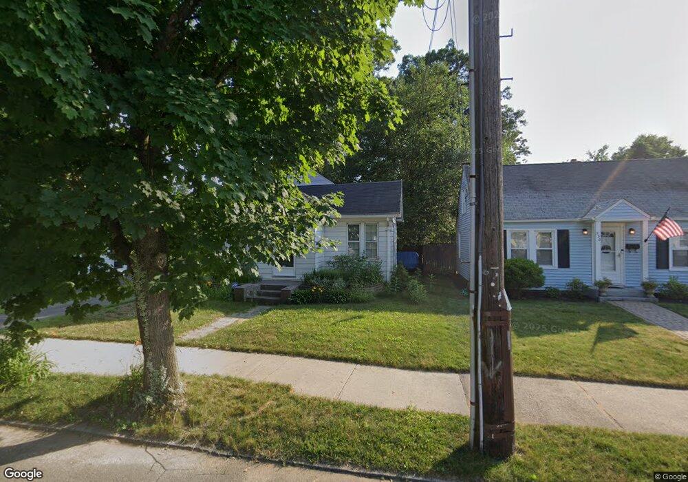
332 Commonwealth Ave Unit None Springfield, MA 01108
Forest Park NeighborhoodEstimated Value: $231,000 - $252,967
About This Home
This home is located at 332 Commonwealth Ave Unit None, Springfield, MA 01108 and is currently estimated at $240,992, approximately $210 per square foot. 332 Commonwealth Ave Unit None is a home located in Hampden County with nearby schools including Alice B. Beal Elementary School, Forest Park Middle School, and High School Of Commerce.
Ownership History
We collect this data history from publicly available records. To have your information removed, we recommend requesting removal directly through your county’s website.
Purchase Details
Purchase Details
Purchase Details
Purchase Details
Home Values in the Area
Average Home Value in this Area
Purchase History
We collect this data history from publicly available records. To have your information removed, we recommend requesting removal directly through your county’s website.
| Date | Buyer | Sale Price | Title Company |
|---|---|---|---|
| $70,000 | -- | ||
| $78,806 | -- | ||
| $120,000 | -- | ||
| $79,900 | -- |
Mortgage History
We collect this data history from publicly available records. To have your information removed, we recommend requesting removal directly through your county’s website.
| Date | Status | Borrower | Loan Amount |
|---|---|---|---|
| Previous Owner | $57,750 |
Tax History
We collect this data history from publicly available records. To have your information removed, we recommend requesting removal directly through your county’s website.
| Year | Tax Paid | Tax Assessment Tax Assessment Total Assessment is a certain percentage of the fair market value that is determined by local assessors to be the total taxable value of land and additions on the property. | Land | Improvement |
|---|---|---|---|---|
| 2025 | $3,263 | $208,100 | $36,800 | $171,300 |
| 2024 | $2,827 | $176,000 | $36,800 | $139,200 |
| 2023 | $2,996 | $175,700 | $35,100 | $140,600 |
| 2022 | $2,176 | $115,600 | $35,100 | $80,500 |
| 2021 | $2,310 | $122,200 | $31,900 | $90,300 |
| 2020 | $2,137 | $109,400 | $31,900 | $77,500 |
| 2019 | $2,159 | $109,700 | $31,900 | $77,800 |
| 2018 | $1,980 | $100,600 | $31,900 | $68,700 |
| 2017 | $1,990 | $101,200 | $31,900 | $69,300 |
| 2016 | $1,836 | $93,400 | $31,900 | $61,500 |
| 2015 | $1,849 | $94,000 | $31,900 | $62,100 |
Map
- 137 Carroll St
- 234 Draper St
- 141 Shawmut St
- 139 Tiffany St
- 186 Belvidere St
- 122 Shawmut St
- 147 Belvidere St
- 58 Appleton St
- 20 Entrybrook Dr
- 188-190 Commonwealth Ave
- 12-14 Carver St
- 81 Eleanor Rd
- 21-23 Draper St
- 36 Belvidere St
- 33 Olmsted Dr
- 634-636 Dickinson St
- 53 Texel Dr
- 38 Manchester Terrace
- 48 Weymouth St
- 24 Fairmount St
- 332 Commonwealth Ave
- 338 Commonwealth Ave
- 330 Commonwealth Ave
- 344 Commonwealth Ave
- 322 Commonwealth Ave
- 193 Draper St
- 199 Draper St
- 203 Draper St
- 185 Draper St
- 185 Draper St Unit 1
- 350 Commonwealth Ave
- 333 Commonwealth Ave
- 318 Commonwealth Ave
- 337 Commonwealth Ave
- 327 Commonwealth Ave
- 126 Carroll St
- 209 Draper St
- 323 Commonwealth Ave
- 179 Draper St
- 314 Commonwealth Ave
Ask me questions while you tour the home.