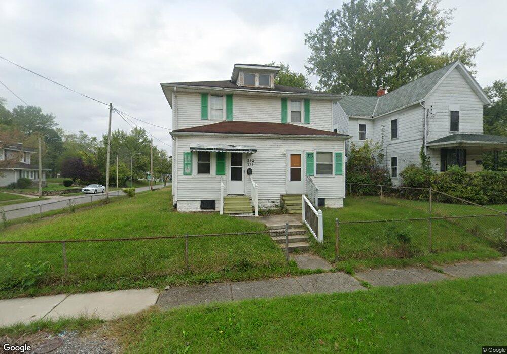
332 Nye St Lima, OH 45801
Riverside North NeighborhoodEstimated Value: $87,766 - $107,000
4
Beds
2
Baths
1,936
Sq Ft
$50/Sq Ft
Est. Value
About This Home
This home is located at 332 Nye St, Lima, OH 45801 and is currently estimated at $96,192, approximately $49 per square foot. 332 Nye St is a home located in Allen County with nearby schools including Heritage Elementary School, Lima North Middle School, and Lima West Middle School.
Ownership History
Date
Name
Owned For
Owner Type
Purchase Details
Closed on
May 30, 2018
Sold by
Daley Douglas A and Potts Michael W
Bought by
Duncan Ebenezer and Duncan Sarah M
Current Estimated Value
Purchase Details
Closed on
May 19, 2016
Sold by
Daley Douglas A and Potts Michael W
Bought by
Duncan Ebenezer and Duncan Sarah M
Purchase Details
Closed on
Jan 1, 1990
Bought by
Potts Walter C
Create a Home Valuation Report for This Property
The Home Valuation Report is an in-depth analysis detailing your home's value as well as a comparison with similar homes in the area
Home Values in the Area
Average Home Value in this Area
Purchase History
| Date | Buyer | Sale Price | Title Company |
|---|---|---|---|
| Duncan Ebenezer | $5,000 | None Available | |
| Duncan Ebenezer | $5,000 | None Available | |
| Potts Walter C | -- | -- |
Source: Public Records
Tax History
| Year | Tax Paid | Tax Assessment Tax Assessment Total Assessment is a certain percentage of the fair market value that is determined by local assessors to be the total taxable value of land and additions on the property. | Land | Improvement |
|---|---|---|---|---|
| 2024 | $565 | $14,430 | $2,350 | $12,080 |
| 2023 | $609 | $13,760 | $2,240 | $11,520 |
| 2022 | $611 | $13,760 | $2,240 | $11,520 |
| 2021 | $647 | $13,760 | $2,240 | $11,520 |
| 2020 | $574 | $10,680 | $1,300 | $9,380 |
| 2019 | $574 | $10,680 | $1,300 | $9,380 |
| 2018 | $580 | $10,680 | $1,300 | $9,380 |
| 2017 | $584 | $10,680 | $1,300 | $9,380 |
| 2016 | $592 | $10,680 | $1,300 | $9,380 |
| 2015 | $614 | $10,680 | $1,300 | $9,380 |
| 2014 | $614 | $10,960 | $1,330 | $9,630 |
| 2013 | $598 | $10,960 | $1,330 | $9,630 |
Source: Public Records
Map
Nearby Homes
- 846 Faurot Ave
- 852 Faurot Ave
- 325 Nye St
- 426 S Baxter St
- 932 Faurot Ave
- 705 W Elm St
- 411 S Collett St
- 210 S Baxter St
- 417 S McDonel St
- 419 S Atlantic Ave
- 343 S Charles St
- 3 House Package
- 30 Property Portfolio
- 431 S Jameson Ave
- 712 S Elizabeth St
- 325 N McDonel St
- 431 N Metcalf St
- 631 Brice Ave
- 418 W Vine St
- 508 N Collett St
Your Personal Tour Guide
Ask me questions while you tour the home.